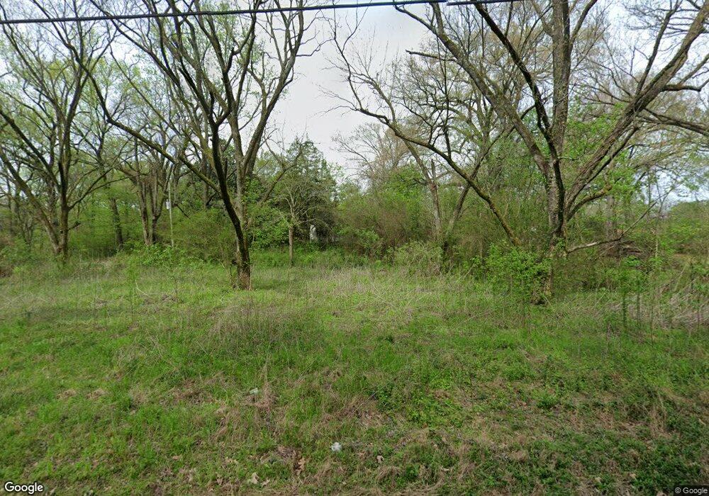
5479 Rust Rd Memphis, TN 38127
Estimated Value: $85,000 - $119,000
3
Beds
1
Bath
1,110
Sq Ft
$95/Sq Ft
Est. Value
About This Home
This home is located at 5479 Rust Rd, Memphis, TN 38127 and is currently estimated at $105,217, approximately $94 per square foot. 5479 Rust Rd is a home located in Shelby County with nearby schools including Northaven Elementary School, Woodstock Middle School, and Trezevant High School.
Ownership History
Date
Name
Owned For
Owner Type
Purchase Details
Closed on
Apr 18, 2023
Sold by
Collins David and Collins Paul
Bought by
Collins Diane
Current Estimated Value
Purchase Details
Closed on
Apr 22, 2007
Sold by
Fannie Mae
Bought by
Collins Donald
Home Financials for this Owner
Home Financials are based on the most recent Mortgage that was taken out on this home.
Original Mortgage
$45,000
Interest Rate
6.16%
Mortgage Type
Purchase Money Mortgage
Create a Home Valuation Report for This Property
The Home Valuation Report is an in-depth analysis detailing your home's value as well as a comparison with similar homes in the area
Purchase History
| Date | Buyer | Sale Price | Title Company |
|---|---|---|---|
| Collins Diane | -- | None Listed On Document | |
| Collins Donald | $45,000 | None Available |
Source: Public Records
Mortgage History
| Date | Status | Borrower | Loan Amount |
|---|---|---|---|
| Previous Owner | Collins Donald | $45,000 |
Source: Public Records
Tax History Compared to Growth
Tax History
| Year | Tax Paid | Tax Assessment Tax Assessment Total Assessment is a certain percentage of the fair market value that is determined by local assessors to be the total taxable value of land and additions on the property. | Land | Improvement |
|---|---|---|---|---|
| 2025 | $778 | $23,075 | $7,725 | $15,350 |
| 2024 | $778 | $22,950 | $7,350 | $15,600 |
| 2023 | $778 | $22,950 | $7,350 | $15,600 |
| 2022 | $778 | $22,950 | $7,350 | $15,600 |
| 2021 | $792 | $22,950 | $7,350 | $15,600 |
| 2019 | $535 | $13,200 | $7,350 | $5,850 |
| 2018 | $535 | $13,200 | $7,350 | $5,850 |
| 2017 | $543 | $13,200 | $7,350 | $5,850 |
| 2016 | $597 | $13,650 | $0 | $0 |
Source: Public Records
Map
Nearby Homes
- 2714 Moonview Rd
- 6234 Woodstock Cuba Rd
- 4623 Sunnybrook St
- 4620 Sunnybrook St
- 2989 Little John Rd
- 4589 Range Line Rd
- 4579 Range Line Rd
- 2620 Maverick Ave
- 4566 Range Line Rd
- 4537 Suncrest Dr
- 4522 Sunny View Dr
- 4518 Suncrest Dr
- 4511 Beacon Hill Dr
- 4520 Beacon Hill Dr
- 4511 Range Line Rd
- 4502 Beacon Hill Cove
- 4503 Beacon Hill Dr
- 4483 Sunny View Dr
- 4494 Beacon Hill Cove
- 4498 Beacon Hill Cove