54795 Cove Rd Powhatan Point, OH 43942
Estimated Value: $174,000 - $202,363
4
Beds
2
Baths
2,028
Sq Ft
$95/Sq Ft
Est. Value
About This Home
This home is located at 54795 Cove Rd, Powhatan Point, OH 43942 and is currently estimated at $192,091, approximately $94 per square foot. 54795 Cove Rd is a home located in Belmont County with nearby schools including Powhatan Elementary School, River Elementary School, and Beallsville High School.
Ownership History
Date
Name
Owned For
Owner Type
Purchase Details
Closed on
Jul 31, 2017
Sold by
Moore Steven A
Bought by
Moore Cynthia M
Current Estimated Value
Purchase Details
Closed on
May 10, 2017
Sold by
Moore Steven A
Bought by
Moore Cynthia M
Purchase Details
Closed on
May 20, 2009
Sold by
Moore Nicole R
Bought by
Moore Steven A
Purchase Details
Closed on
Apr 21, 2006
Sold by
Brunner Violet
Bought by
Moore Steven A and Moore Nicole R
Home Financials for this Owner
Home Financials are based on the most recent Mortgage that was taken out on this home.
Original Mortgage
$84,000
Interest Rate
6.37%
Mortgage Type
Purchase Money Mortgage
Purchase Details
Closed on
Oct 28, 2005
Sold by
Baker Dian and Baker Brady
Bought by
Brunner Violet
Purchase Details
Closed on
Jan 1, 1986
Sold by
Brunner Violet
Bought by
Brunner Violet
Create a Home Valuation Report for This Property
The Home Valuation Report is an in-depth analysis detailing your home's value as well as a comparison with similar homes in the area
Home Values in the Area
Average Home Value in this Area
Purchase History
| Date | Buyer | Sale Price | Title Company |
|---|---|---|---|
| Moore Cynthia M | $86,758 | Attorney | |
| Moore Cynthia M | $23,333 | Attorney | |
| Moore Steven A | -- | Attorney | |
| Moore Steven A | $90,000 | None Available | |
| Brunner Violet | -- | None Available | |
| Brunner Violet | -- | -- |
Source: Public Records
Mortgage History
| Date | Status | Borrower | Loan Amount |
|---|---|---|---|
| Previous Owner | Moore Steven A | $84,000 |
Source: Public Records
Tax History Compared to Growth
Tax History
| Year | Tax Paid | Tax Assessment Tax Assessment Total Assessment is a certain percentage of the fair market value that is determined by local assessors to be the total taxable value of land and additions on the property. | Land | Improvement |
|---|---|---|---|---|
| 2024 | $1,703 | $53,800 | $5,830 | $47,970 |
| 2023 | $1,560 | $46,380 | $5,250 | $41,130 |
| 2022 | $1,557 | $46,382 | $5,254 | $41,128 |
| 2021 | $1,551 | $46,382 | $5,254 | $41,128 |
| 2020 | $1,408 | $40,340 | $4,570 | $35,770 |
| 2019 | $1,411 | $40,340 | $4,570 | $35,770 |
| 2018 | $1,440 | $40,340 | $4,570 | $35,770 |
| 2017 | $1,542 | $42,410 | $3,330 | $39,080 |
| 2016 | $1,478 | $42,410 | $3,330 | $39,080 |
| 2015 | $1,518 | $42,410 | $3,330 | $39,080 |
| 2014 | $1,285 | $35,070 | $3,030 | $32,040 |
| 2013 | $1,308 | $35,070 | $3,030 | $32,040 |
Source: Public Records
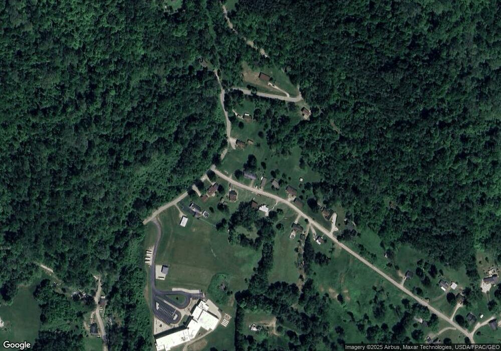
Map
Nearby Homes
- 54885 Mount Victory Rd
- 0 Mount Victory Rd
- 54360 Mount Victory Rd
- 315 Ohio 7
- 110 Cove Dr
- 122 3rd St
- 122 2nd St
- 0 Clark St
- 354 Clearview Heights Dr
- 56835 Stephens Rd
- 252 Kansas Ridge Ln
- 9 Gypsy Dr
- 21 Tharon Ln
- 53 Blue Jay Ln
- 4390 Taylors Ridge Rd
- 2 Roberts Ridge Saint Joseph Rd
- 49 Lavender Ln
- 135 Windy Hollow Rd
- 85 Virginia Oaks Dr
- 00 Cr # 94
- 54801 Mount Victory Rd
- 54802 Cove Rd
- 54786 Cove Rd
- 54775 Mount Victory Rd
- 54766 Cove Rd
- 54821 Mount Victory Rd
- 133 T Rd
- 54747 Mount Victory Rd
- 54761 Cove Rd
- 54752 Cove Rd
- 54745 Mount Victory Rd
- 54882 Mount Victory Rd
- 54731 Cove Rd
- 54840 Mount Victory Rd
- 54905 Mount Victory Rd
- 54748 Cove Rd
- 54979 Mount Victory Rd
- 54659 Mount Victory Rd
- 54677 Mount Victory Rd
- 54657 Cove Rd