548 Aero Ln Bigfork, MT 59911
Estimated Value: $576,242 - $617,000
3
Beds
2
Baths
1,210
Sq Ft
$494/Sq Ft
Est. Value
About This Home
This home is located at 548 Aero Ln, Bigfork, MT 59911 and is currently estimated at $597,561, approximately $493 per square foot. 548 Aero Ln is a home located in Flathead County with nearby schools including Bigfork Elementary School, Bigfork Middle School, and Bigfork High School.
Ownership History
Date
Name
Owned For
Owner Type
Purchase Details
Closed on
Sep 18, 2024
Sold by
Demaray David E
Bought by
Demaray David E and Souriall-Demaray Barbara
Current Estimated Value
Purchase Details
Closed on
Aug 18, 2023
Sold by
Bigfork Cemetery & Swan View Memorial Ga
Bought by
Souriall-Demaray Barbara
Purchase Details
Closed on
Jan 20, 2020
Sold by
Horstman Edward B and Horstman Neoma Kathleen
Bought by
Demaray David
Home Financials for this Owner
Home Financials are based on the most recent Mortgage that was taken out on this home.
Original Mortgage
$110,000
Interest Rate
2.71%
Mortgage Type
New Conventional
Purchase Details
Closed on
Mar 21, 2007
Sold by
Ostenburg Herbert O and Lois Ostenburg E
Bought by
Horstman Edward B and Horstman Neoma Kathleen
Home Financials for this Owner
Home Financials are based on the most recent Mortgage that was taken out on this home.
Original Mortgage
$170,000
Interest Rate
6.2%
Mortgage Type
New Conventional
Create a Home Valuation Report for This Property
The Home Valuation Report is an in-depth analysis detailing your home's value as well as a comparison with similar homes in the area
Home Values in the Area
Average Home Value in this Area
Purchase History
| Date | Buyer | Sale Price | Title Company |
|---|---|---|---|
| Demaray David E | -- | None Listed On Document | |
| Souriall-Demaray Barbara | -- | None Listed On Document | |
| Demaray David | -- | Alliance Title & Escrow Llc | |
| Horstman Edward B | -- | Alliance Title |
Source: Public Records
Mortgage History
| Date | Status | Borrower | Loan Amount |
|---|---|---|---|
| Previous Owner | Demaray David | $110,000 | |
| Previous Owner | Horstman Edward B | $170,000 |
Source: Public Records
Tax History Compared to Growth
Tax History
| Year | Tax Paid | Tax Assessment Tax Assessment Total Assessment is a certain percentage of the fair market value that is determined by local assessors to be the total taxable value of land and additions on the property. | Land | Improvement |
|---|---|---|---|---|
| 2025 | $1,466 | $500,400 | $0 | $0 |
| 2024 | $2,063 | $433,000 | $0 | $0 |
| 2023 | $2,176 | $433,000 | $0 | $0 |
| 2022 | $1,987 | $281,900 | $0 | $0 |
| 2021 | $1,708 | $243,000 | $0 | $0 |
| 2020 | $1,502 | $190,700 | $0 | $0 |
| 2019 | $1,447 | $190,700 | $0 | $0 |
| 2018 | $1,465 | $182,800 | $0 | $0 |
| 2017 | $1,449 | $182,800 | $0 | $0 |
| 2016 | $1,253 | $155,700 | $0 | $0 |
| 2015 | $1,135 | $155,700 | $0 | $0 |
| 2014 | $1,219 | $101,866 | $0 | $0 |
Source: Public Records
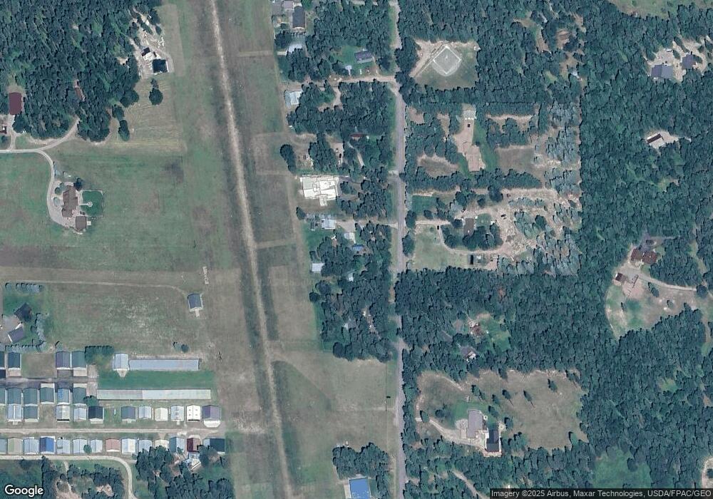
Map
Nearby Homes
- 305 Ferndale Dr Unit 41&42
- 305 Ferndale Dr Unit 42
- 305 Ferndale Dr Unit 41
- 220 Ferndale Dr
- 518 Eastman Dr
- 115 Ferndale Dr
- 639 Three Eagle Ln
- Nhn Watchman Way
- 280 Shady Ln
- 285 Shady Ln
- 945 Swan River Rd
- 172 Swanlea Rd S
- 936 Swan River Rd
- 1080 Mt Highway 209
- 30580 Cayuse Ln
- 110 Landmark Ln
- 25 Starview Dr
- 1150 Swan Hill Dr
- 11974 Mt Highway 83
- 12022 Mount Highway 83