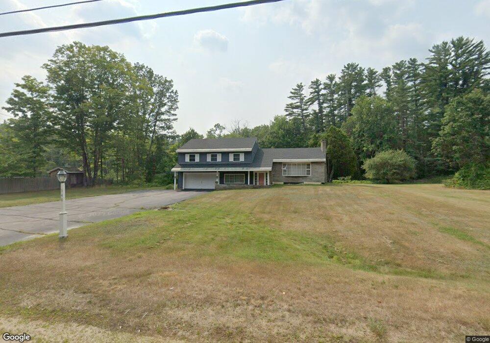
548 Kearsarge Rd North Conway, NH 03860
Estimated Value: $553,844 - $820,000
4
Beds
3
Baths
2,176
Sq Ft
$316/Sq Ft
Est. Value
About This Home
This home is located at 548 Kearsarge Rd, North Conway, NH 03860 and is currently estimated at $687,961, approximately $316 per square foot. 548 Kearsarge Rd is a home with nearby schools including A. Crosby Kennett Middle School, Kennett High School, and The Lilliputian School.
Ownership History
Date
Name
Owned For
Owner Type
Purchase Details
Closed on
Jul 29, 2014
Sold by
Kearsarge Rt
Bought by
Viehl Patricia
Current Estimated Value
Purchase Details
Closed on
Jun 26, 2001
Sold by
Joan Brassill Lt
Bought by
Kearsarge Rt
Home Financials for this Owner
Home Financials are based on the most recent Mortgage that was taken out on this home.
Original Mortgage
$109,000
Interest Rate
7.09%
Mortgage Type
Purchase Money Mortgage
Create a Home Valuation Report for This Property
The Home Valuation Report is an in-depth analysis detailing your home's value as well as a comparison with similar homes in the area
Home Values in the Area
Average Home Value in this Area
Purchase History
| Date | Buyer | Sale Price | Title Company |
|---|---|---|---|
| Viehl Patricia | -- | -- | |
| Kearsarge Rt | $179,000 | -- |
Source: Public Records
Mortgage History
| Date | Status | Borrower | Loan Amount |
|---|---|---|---|
| Previous Owner | Kearsarge Rt | $109,000 |
Source: Public Records
Tax History Compared to Growth
Tax History
| Year | Tax Paid | Tax Assessment Tax Assessment Total Assessment is a certain percentage of the fair market value that is determined by local assessors to be the total taxable value of land and additions on the property. | Land | Improvement |
|---|---|---|---|---|
| 2024 | $5,870 | $511,800 | $165,100 | $346,700 |
| 2023 | $5,978 | $511,800 | $165,100 | $346,700 |
| 2022 | $5,408 | $275,900 | $82,100 | $193,800 |
| 2021 | $4,508 | $275,900 | $82,100 | $193,800 |
| 2020 | $4,660 | $275,900 | $82,100 | $193,800 |
| 2019 | $4,779 | $275,900 | $82,100 | $193,800 |
| 2018 | $4,946 | $217,400 | $62,100 | $155,300 |
| 2017 | $4,344 | $217,400 | $62,100 | $155,300 |
| 2016 | $4,198 | $217,400 | $62,100 | $155,300 |
Source: Public Records
Map
Nearby Homes
- 679 Kearsarge Rd
- 72 Cranmore Woods Ln Unit 2
- 72 Cranmore Woods Ln Unit 4
- 168 Old Bartlett Rd Unit A
- 50 Drachenfels Rd
- 243 Skimobile Rd Unit 352
- 243 Skimobile Rd Unit 252
- 243 Skimobile Rd Unit 355
- 243 Skimobile Rd Unit 255
- 235 Skimobile Rd Unit 1404
- 137 Skimobile Rd Unit 3
- 15 Black Diamond Rd Unit 4
- 239 Skimobile Rd Unit 314
- 239 Skimobile Rd Unit 305
- 239 Skimobile Rd Unit 304
- 11 Black Diamond Rd Unit 3
- 7 Black Diamond Rd Unit 2
- 970 Kearsarge Rd
- 2760 New Hampshire 16 Unit E008A Week 29
- 45 Wildflower Trail Unit 9
- 560 Kearsarge Rd
- 524 Kearsarge Rd
- 519 Kearsarge Rd
- 555 Kearsarge Rd
- 13 Dixey Ct
- 592 Kearsarge Rd
- 30 Whitaker Ln Unit 3
- 30 Whitaker Ln Unit 4
- 58 Whitaker Ln Unit 58
- 62 Whitaker Ln Unit 62
- 211 Vista View Rd Unit A7
- 109 Whitaker Ln
- 10 Dixey Ct
- 5 Whitaker Ln Unit 5
- 5 Snow Cap Way
- 9 Whitaker Ln
- 5 Snowcap Way
- 26 Dixey Ct
- 0 Kearsarge Rd
- 0 Kearsarge Rd Unit 4044681