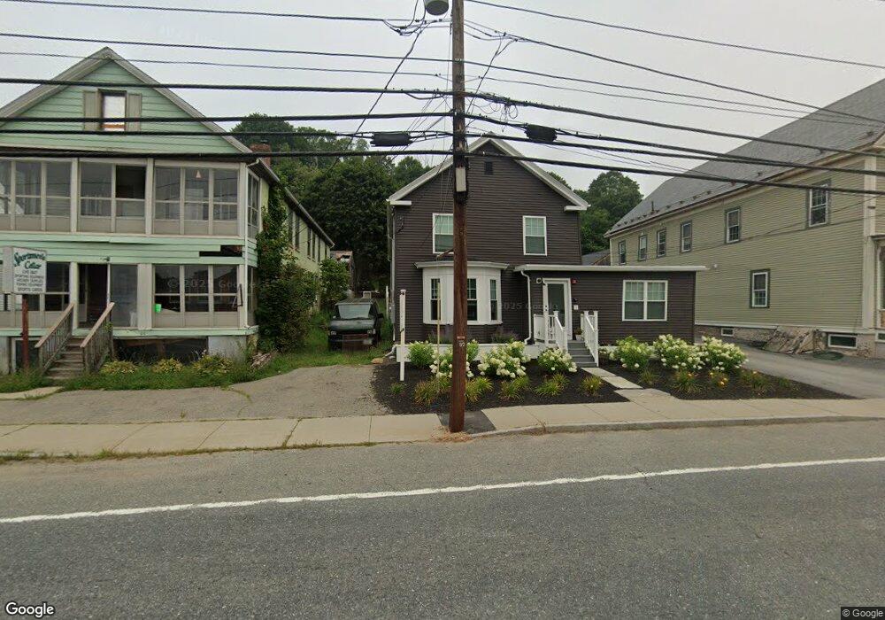
548 Main St Sturbridge, MA 01518
Estimated Value: $479,000 - $677,000
7
Beds
3
Baths
3,456
Sq Ft
$161/Sq Ft
Est. Value
About This Home
Little Main features two, two bedroom units, and one, three bedroom unit. All units will have open layouts, fully equipped kitchens, hardwood and tile flooring, smart LED lighting and an energy efficient programmable heating and cooling system. Parks, trails, restaurants, cafés, and breweries are steps away.
Ownership History
Date
Name
Owned For
Owner Type
Purchase Details
Closed on
Jan 7, 2005
Sold by
548 Main St Rt
Bought by
Wetherbee and Wetherbee W
Current Estimated Value
Purchase Details
Closed on
Oct 3, 1997
Sold by
Shaw Florence and Proulx David
Bought by
548 Main St Rt
Home Financials for this Owner
Home Financials are based on the most recent Mortgage that was taken out on this home.
Original Mortgage
$60,000
Interest Rate
7.41%
Mortgage Type
Commercial
Create a Home Valuation Report for This Property
The Home Valuation Report is an in-depth analysis detailing your home's value as well as a comparison with similar homes in the area
Home Values in the Area
Average Home Value in this Area
Purchase History
| Date | Buyer | Sale Price | Title Company |
|---|---|---|---|
| Wetherbee | $185,000 | -- | |
| 548 Main St Rt | $40,000 | -- |
Source: Public Records
Mortgage History
| Date | Status | Borrower | Loan Amount |
|---|---|---|---|
| Previous Owner | 548 Main St Rt | $60,000 | |
| Previous Owner | 548 Main St Rt | $30,000 |
Source: Public Records
Property History
| Date | Event | Price | List to Sale | Price per Sq Ft |
|---|---|---|---|---|
| 02/10/2025 02/10/25 | Off Market | $1,950 | -- | -- |
| 01/16/2025 01/16/25 | For Rent | -- | -- | -- |
| 10/01/2024 10/01/24 | For Rent | $1,950 | -- | -- |
Tax History Compared to Growth
Tax History
| Year | Tax Paid | Tax Assessment Tax Assessment Total Assessment is a certain percentage of the fair market value that is determined by local assessors to be the total taxable value of land and additions on the property. | Land | Improvement |
|---|---|---|---|---|
| 2025 | $7,425 | $466,100 | $56,400 | $409,700 |
| 2024 | $7,059 | $428,100 | $55,300 | $372,800 |
| 2023 | $6,664 | $368,800 | $48,100 | $320,700 |
| 2022 | $4,893 | $255,500 | $43,600 | $211,900 |
| 2021 | $4,456 | $234,300 | $41,500 | $192,800 |
| 2020 | $4,456 | $234,300 | $41,500 | $192,800 |
| 2019 | $4,175 | $218,000 | $42,800 | $175,200 |
| 2018 | $4,018 | $206,700 | $40,800 | $165,900 |
| 2017 | $3,828 | $197,300 | $39,200 | $158,100 |
| 2016 | $3,702 | $192,700 | $38,000 | $154,700 |
| 2015 | $3,556 | $184,800 | $38,000 | $146,800 |
Source: Public Records
Map
Nearby Homes
- 537 Main St
- 504 Main St
- 5 Hinman St Unit 4
- 7 Crescent Way Unit 105
- 7 Crescent Way Unit 315
- 87 Holland Rd
- 26 Cedar Lake Dr
- 6 Cedar Pond Dr
- 51-A Seneca Ln
- 368 Main St
- 43 Mountain Brook Rd
- 314 The Trail
- 50 Beach Ave
- 146-A Cedar St
- 73 New Boston Rd
- 9 Haynes St
- 7 Haynes St
- 10 Maple St
- 54 Little Alum Rd
- Lot B-6 River Rd
- 548 Main St Unit 3
- 548 Main St Unit 4
- 552 Main St
- 544 Main St
- 544 Route 20
- 554 Main St Unit 1
- 554 Main St Unit 3
- 554 Main St
- 546 Main St
- 541 Main St
- 541 Main St Unit 4
- 541 Main St
- 541 Main St Unit 3
- 559 Main St Unit 101
- 559 Main St Unit L-01
- 559 Main St Unit 206
- 559 Main St Unit 207
- 559 Main St Unit 301
- 559 Main St Unit 209B
- 559 Main St Unit 209D