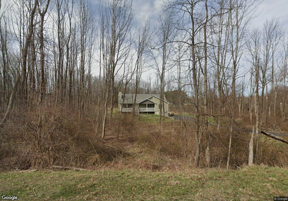
548 Mullock Rd Port Jervis, NY 12771
Greenville Town NeighborhoodEstimated Value: $496,011 - $623,000
3
Beds
2
Baths
1,623
Sq Ft
$354/Sq Ft
Est. Value
About This Home
This home is located at 548 Mullock Rd, Port Jervis, NY 12771 and is currently estimated at $574,753, approximately $354 per square foot. 548 Mullock Rd is a home located in Orange County with nearby schools including Minisink Valley High School.
Ownership History
Date
Name
Owned For
Owner Type
Purchase Details
Closed on
Oct 19, 2016
Sold by
Equity Homes Of New York Inc
Bought by
Connolly Sean V
Current Estimated Value
Home Financials for this Owner
Home Financials are based on the most recent Mortgage that was taken out on this home.
Original Mortgage
$231,920
Outstanding Balance
$186,045
Interest Rate
3.48%
Mortgage Type
Purchase Money Mortgage
Estimated Equity
$388,708
Purchase Details
Closed on
May 24, 2016
Sold by
The Decastro Living Trust
Bought by
Equity Homes Of New York Inc
Create a Home Valuation Report for This Property
The Home Valuation Report is an in-depth analysis detailing your home's value as well as a comparison with similar homes in the area
Home Values in the Area
Average Home Value in this Area
Purchase History
| Date | Buyer | Sale Price | Title Company |
|---|---|---|---|
| Connolly Sean V | $289,900 | Richard Guertin | |
| Equity Homes Of New York Inc | $50,000 | David Bavoso |
Source: Public Records
Mortgage History
| Date | Status | Borrower | Loan Amount |
|---|---|---|---|
| Open | Connolly Sean V | $231,920 |
Source: Public Records
Tax History Compared to Growth
Tax History
| Year | Tax Paid | Tax Assessment Tax Assessment Total Assessment is a certain percentage of the fair market value that is determined by local assessors to be the total taxable value of land and additions on the property. | Land | Improvement |
|---|---|---|---|---|
| 2024 | $9,420 | $189,600 | $36,900 | $152,700 |
| 2023 | $9,420 | $189,600 | $36,900 | $152,700 |
| 2022 | $9,436 | $189,600 | $36,900 | $152,700 |
| 2021 | $9,213 | $189,600 | $36,900 | $152,700 |
| 2020 | $8,998 | $189,600 | $36,900 | $152,700 |
| 2019 | $9,043 | $189,600 | $36,900 | $152,700 |
| 2018 | $9,043 | $189,600 | $36,900 | $152,700 |
| 2017 | $8,660 | $189,600 | $36,900 | $152,700 |
| 2016 | $1,324 | $29,900 | $29,900 | $0 |
| 2015 | -- | $29,900 | $29,900 | $0 |
| 2014 | -- | $29,900 | $29,900 | $0 |
Source: Public Records
Map
Nearby Homes
- 407 Fort van Tyle Rd
- 469 Eatontown Rd
- 346 Mullock Rd
- 1174 Mountain Rd
- 127 Benneywater Rd
- 195 Mulford Rd
- 1410 Us Highway 6
- 4 Thistle Ln
- 1265 Us Highway 6
- 2059 Guymard Turnpike
- 285 Hill Rd
- 535 County Route 22
- 75 Monahan Rd
- 168 S Centerville Rd
- 64 Homestead Ln
- 408 County Route 22
- 1 Rackett Rd
- 0 Greenville Turnpike Unit KEY869459
- 0 Greenville Turnpike Unit ONEH6293508
- 0 Greenville Turnpike Unit KEY817585
- 564 Mullock Rd
- 2 Springbrook Rd
- 563 Mullock Rd
- 545 Mullock Rd
- 536 Mullock Rd
- 12 Springbrook Rd
- 0 Tommy Ln Unit 4554358
- 530 Mullock Rd
- 1 Springbrook Rd
- 20 Springbrook Rd
- 576 Mullock Rd
- 23 Tommy Ln
- 571 Mullock Rd
- 10 Tara Terrace
- 24 Tara Terrace
- 529 Mullock Rd
- 29 Tommy Ln
- 527 Mullock Rd
- 19 Tara Terrace
- 26 Tara Terrace