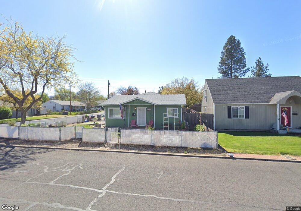
548 Oak St Central Point, OR 97502
Estimated Value: $262,000 - $283,000
2
Beds
1
Bath
836
Sq Ft
$327/Sq Ft
Est. Value
About This Home
This home is located at 548 Oak St, Central Point, OR 97502 and is currently estimated at $273,489, approximately $327 per square foot. 548 Oak St is a home located in Jackson County with nearby schools including Central Point Elementary School, Scenic Middle School, and Crater High School.
Ownership History
Date
Name
Owned For
Owner Type
Purchase Details
Closed on
Aug 18, 2008
Sold by
The Bank Of New York Mellon
Bought by
Holcomb David G
Current Estimated Value
Home Financials for this Owner
Home Financials are based on the most recent Mortgage that was taken out on this home.
Original Mortgage
$108,757
Outstanding Balance
$71,520
Interest Rate
6.37%
Mortgage Type
FHA
Estimated Equity
$201,969
Purchase Details
Closed on
Apr 18, 2008
Sold by
Holliday Bradley D
Bought by
Jpmorgan Chase Bank Na and Ownit Mortgage Loan Asset Backed Certifi
Purchase Details
Closed on
Aug 12, 2004
Sold by
Taylor Gary Lloyd
Bought by
Holliday Bradley D
Home Financials for this Owner
Home Financials are based on the most recent Mortgage that was taken out on this home.
Original Mortgage
$118,320
Interest Rate
7.25%
Mortgage Type
Purchase Money Mortgage
Create a Home Valuation Report for This Property
The Home Valuation Report is an in-depth analysis detailing your home's value as well as a comparison with similar homes in the area
Home Values in the Area
Average Home Value in this Area
Purchase History
| Date | Buyer | Sale Price | Title Company |
|---|---|---|---|
| Holcomb David G | $110,000 | First American | |
| Jpmorgan Chase Bank Na | $148,720 | None Available | |
| Holliday Bradley D | $147,900 | First American |
Source: Public Records
Mortgage History
| Date | Status | Borrower | Loan Amount |
|---|---|---|---|
| Open | Holcomb David G | $108,757 | |
| Previous Owner | Holliday Bradley D | $118,320 | |
| Closed | Holliday Bradley D | $29,580 |
Source: Public Records
Tax History Compared to Growth
Tax History
| Year | Tax Paid | Tax Assessment Tax Assessment Total Assessment is a certain percentage of the fair market value that is determined by local assessors to be the total taxable value of land and additions on the property. | Land | Improvement |
|---|---|---|---|---|
| 2025 | $2,156 | $129,680 | $51,990 | $77,690 |
| 2024 | $2,156 | $125,910 | $50,480 | $75,430 |
| 2023 | $2,087 | $122,250 | $49,020 | $73,230 |
| 2022 | $2,038 | $122,250 | $49,020 | $73,230 |
| 2021 | $1,980 | $118,690 | $47,600 | $71,090 |
| 2020 | $1,922 | $115,240 | $46,220 | $69,020 |
| 2019 | $1,875 | $108,640 | $43,560 | $65,080 |
| 2018 | $1,818 | $105,480 | $42,300 | $63,180 |
| 2017 | $1,772 | $105,480 | $42,300 | $63,180 |
| 2016 | $1,721 | $99,430 | $39,870 | $59,560 |
| 2015 | $1,649 | $99,430 | $39,870 | $59,560 |
| 2014 | $1,607 | $93,730 | $37,580 | $56,150 |
Source: Public Records
Map
Nearby Homes
- 715 Ash St
- 350 Alder St
- 144 N 5th St
- 340 Freeman Rd
- 845 Manzanita St
- 840 Ash St
- 114 Cedar St
- 555 Freeman Rd Unit 128
- 555 Freeman Rd Unit 146
- 555 Freeman Rd Unit 254
- 555 Freeman Rd Unit 105
- 555 Freeman Rd Unit 204
- 555 Freeman Rd Unit 209
- 431 N 5th St
- 405 N 9th St
- 301 Freeman Rd Unit 100
- 301 Freeman Rd Unit 23
- 342 Hazel St
- 833 Hazel St
- 755 S 4th St