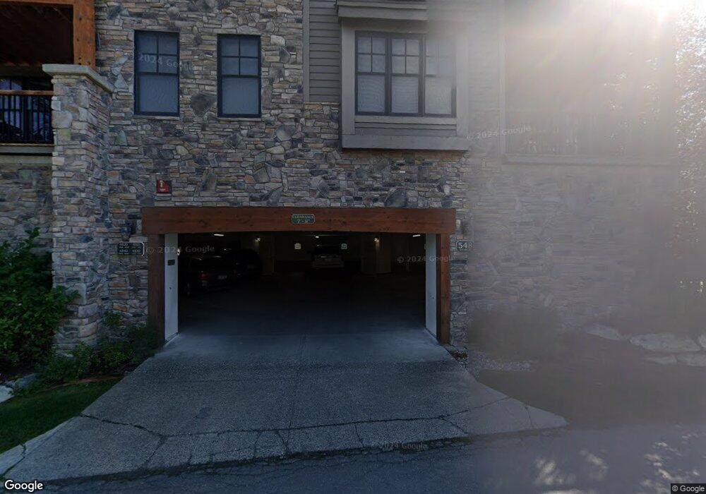
548 Snow King Loop Unit 483 Jackson, WY 83001
3
Beds
4
Baths
1,813
Sq Ft
2,788
Sq Ft Lot
About This Home
This home is located at 548 Snow King Loop Unit 483, Jackson, WY 83001. 548 Snow King Loop Unit 483 is a home located in Teton County with nearby schools including Jackson Elementary School, Jackson Hole Middle School, and Jackson Hole High School.
Ownership History
Date
Name
Owned For
Owner Type
Purchase Details
Closed on
Nov 17, 2023
Sold by
Indian Mill Llc
Bought by
Blanche Neige Llc
Purchase Details
Closed on
Oct 9, 2013
Sold by
Brutsche Hans and Brutsche Juliana
Bought by
Indian Mill Llc
Home Financials for this Owner
Home Financials are based on the most recent Mortgage that was taken out on this home.
Original Mortgage
$689,500
Interest Rate
4.54%
Mortgage Type
Purchase Money Mortgage
Create a Home Valuation Report for This Property
The Home Valuation Report is an in-depth analysis detailing your home's value as well as a comparison with similar homes in the area
Purchase History
| Date | Buyer | Sale Price | Title Company |
|---|---|---|---|
| Blanche Neige Llc | -- | Wyoming Title & Escrow | |
| Indian Mill Llc | -- | Jackson Hole Title & Escrow |
Source: Public Records
Mortgage History
| Date | Status | Borrower | Loan Amount |
|---|---|---|---|
| Previous Owner | Indian Mill Llc | $689,500 |
Source: Public Records
Tax History
| Year | Tax Paid | Tax Assessment Tax Assessment Total Assessment is a certain percentage of the fair market value that is determined by local assessors to be the total taxable value of land and additions on the property. | Land | Improvement |
|---|---|---|---|---|
| 2025 | $15,010 | $252,762 | $7,642 | $245,120 |
| 2024 | $15,010 | $267,562 | $8,360 | $259,202 |
| 2023 | $12,880 | $229,064 | $8,360 | $220,704 |
| 2022 | $12,930 | $230,984 | $8,360 | $222,624 |
| 2021 | $8,827 | $154,913 | $8,360 | $146,553 |
| 2020 | $8,321 | $148,638 | $8,360 | $140,278 |
| 2019 | $8,624 | $151,157 | $8,360 | $142,797 |
| 2018 | $7,692 | $135,539 | $8,360 | $127,179 |
| 2017 | $5,922 | $102,179 | $8,360 | $93,819 |
| 2016 | $5,350 | $92,310 | $8,360 | $83,950 |
| 2015 | $3,790 | $79,426 | $8,360 | $71,066 |
| 2014 | $3,790 | $65,503 | $8,360 | $57,143 |
| 2013 | $3,790 | $65,503 | $8,360 | $57,143 |
Source: Public Records
Map
Nearby Homes
- 536 Snow King Loop Rd Unit 3630
- 531 Snow King Loop Unit 3130
- 526 Lower Snow King Loop Unit 262
- 500 E Kelly Ave
- 524 Lower Snow King Loop Unit 241
- 371 Snow King Loop
- 735 Upper Redmond Rd
- 630 E Kelly Ave
- 663&665 E Kelly Ave
- 130 E Kelly Ave Unit 11
- 662 E Hansen Ave
- 20 W Karns Ave
- 110 S Willow St
- 100 W Snow King Ave
- 110 & 120 W Hansen Ave
- 125 W Kelly Ave
- 210 Spruce Dr
- 165 S Millward St
- 150 W Simpson Ave Unit 404
- 150 N Jean St
- 548 Snow King Loop Unit 4840
- 548 Snow King Loop Unit 483
- 548 Snow King Loop Unit 481
- 548 Snow King Loop Rd Unit 483
- 548 W Snow King Ave Unit 483
- 548 Snow King Loop Unit 4840
- 548 Snow King Loop Unit 482
- 548 Snow King Loop Unit 481
- 548 Snow King Loop Unit 484
- 548 Snow King Loop Unit 483
- 510 Upper Snow King Loop
- 549 Snow King Loop #4940
- 549 Snow King Loop Unit 4920
- 549 Snow King Loop Unit 4940
- 549 W Snow King Loop Unit 491
- 549 Snow King Loop Rd Unit 491
- 536 W Snow King Loop
- 536 W Snow King Loop Unit 3610
- 536 Snow King Loop Unit 3610
- 536 Snow King Loop Unit 3630
Your Personal Tour Guide
Ask me questions while you tour the home.