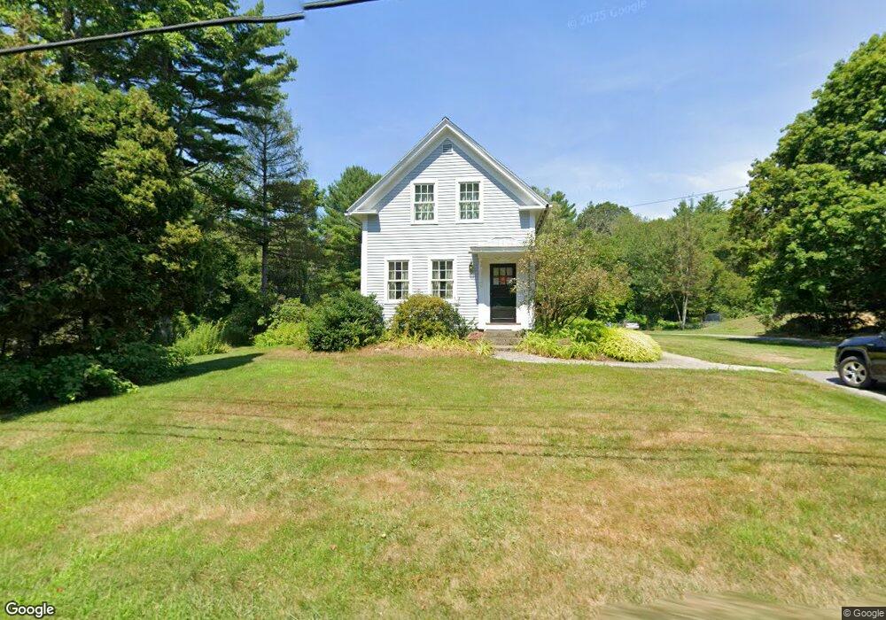
548 South St Carlisle, MA 01741
Estimated Value: $821,000 - $3,110,000
3
Beds
2
Baths
1,449
Sq Ft
$986/Sq Ft
Est. Value
About This Home
This home is located at 548 South St, Carlisle, MA 01741 and is currently estimated at $1,428,848, approximately $986 per square foot. 548 South St is a home located in Middlesex County with nearby schools including Carlisle School, The Fenn School, and Middlesex School.
Ownership History
Date
Name
Owned For
Owner Type
Purchase Details
Closed on
Apr 4, 2012
Sold by
548 South St Nt and Lemmermann
Bought by
Lemmermann Ft and Lemmermann
Current Estimated Value
Create a Home Valuation Report for This Property
The Home Valuation Report is an in-depth analysis detailing your home's value as well as a comparison with similar homes in the area
Home Values in the Area
Average Home Value in this Area
Purchase History
| Date | Buyer | Sale Price | Title Company |
|---|---|---|---|
| Lemmermann Ft | -- | -- | |
| Lemmermann Ft | -- | -- |
Source: Public Records
Tax History Compared to Growth
Tax History
| Year | Tax Paid | Tax Assessment Tax Assessment Total Assessment is a certain percentage of the fair market value that is determined by local assessors to be the total taxable value of land and additions on the property. | Land | Improvement |
|---|---|---|---|---|
| 2025 | $11,380 | $863,400 | $511,500 | $351,900 |
| 2024 | $9,799 | $735,100 | $470,400 | $264,700 |
| 2023 | $9,580 | $677,000 | $450,800 | $226,200 |
| 2022 | $10,509 | $636,900 | $411,600 | $225,300 |
| 2021 | $10,282 | $631,600 | $411,600 | $220,000 |
| 2020 | $9,823 | $535,000 | $317,600 | $217,400 |
| 2019 | $9,633 | $526,700 | $317,600 | $209,100 |
| 2018 | $9,570 | $526,700 | $317,600 | $209,100 |
| 2017 | $9,282 | $526,800 | $317,600 | $209,200 |
| 2016 | $9,061 | $526,800 | $317,600 | $209,200 |
| 2015 | $9,263 | $487,500 | $317,600 | $169,900 |
| 2014 | $9,087 | $487,500 | $317,600 | $169,900 |
Source: Public Records
Map
Nearby Homes
- 0 Heald Rd
- 0 Judy Farm Rd
- 1 Garrison Way Unit 1
- 875 Acton St
- 927 Main St
- 27 Hartland Way Unit 309
- 17 Northbriar Rd
- 1420 Curve St
- 1 Quarry Rd
- 6 Bittersweet Ln
- 7 Blue Heron Way
- 10 Blue Heron Way Unit 10
- 10 Blue Heron Way
- 495 Hugh Cargill Rd
- 232 Baldwin Rd
- 104 Channing Rd
- 19 Whippoorwill Ln
- 407 Great Rd Unit 9
- 403 Great Rd Unit 5
- 16 Wampus Ave Unit 32