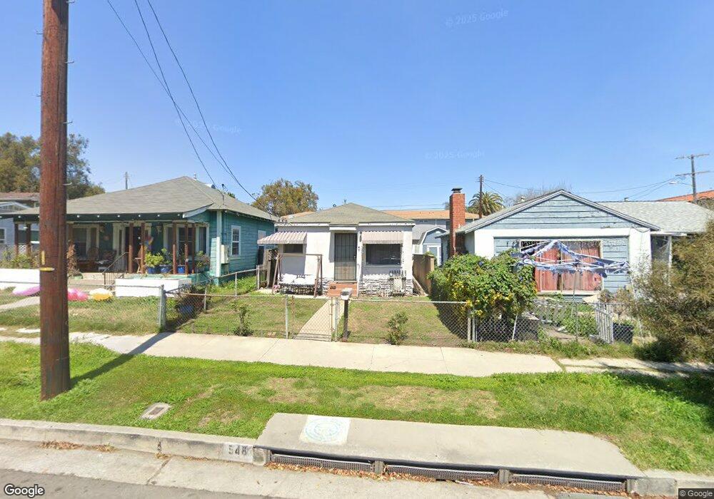
548 W 26th St San Pedro, CA 90731
Estimated Value: $627,000 - $791,000
2
Beds
1
Bath
703
Sq Ft
$1,000/Sq Ft
Est. Value
About This Home
This home is located at 548 W 26th St, San Pedro, CA 90731 and is currently estimated at $702,875, approximately $999 per square foot. 548 W 26th St is a home located in Los Angeles County with nearby schools including Leland Street Elementary School, Dana Middle School, and San Pedro Senior High School.
Ownership History
Date
Name
Owned For
Owner Type
Purchase Details
Closed on
Oct 11, 2002
Sold by
Bostick Marjorie Elizabeth Seffens
Bought by
Bostick Marjorie E
Current Estimated Value
Home Financials for this Owner
Home Financials are based on the most recent Mortgage that was taken out on this home.
Original Mortgage
$94,500
Interest Rate
6.09%
Purchase Details
Closed on
Jun 5, 1998
Sold by
Bostick Marjorie E
Bought by
Bostick Marjorie Elizabeth Seffens and Marjorie Elizabeth Seffens Bostick Famil
Create a Home Valuation Report for This Property
The Home Valuation Report is an in-depth analysis detailing your home's value as well as a comparison with similar homes in the area
Home Values in the Area
Average Home Value in this Area
Purchase History
| Date | Buyer | Sale Price | Title Company |
|---|---|---|---|
| Bostick Marjorie E | -- | Bridgespan Title Company | |
| Bostick Marjorie Elizabeth Seffens | -- | -- |
Source: Public Records
Mortgage History
| Date | Status | Borrower | Loan Amount |
|---|---|---|---|
| Closed | Bostick Marjorie E | $94,500 |
Source: Public Records
Tax History Compared to Growth
Tax History
| Year | Tax Paid | Tax Assessment Tax Assessment Total Assessment is a certain percentage of the fair market value that is determined by local assessors to be the total taxable value of land and additions on the property. | Land | Improvement |
|---|---|---|---|---|
| 2025 | $2,714 | $219,318 | $153,495 | $65,823 |
| 2024 | $2,714 | $215,019 | $150,486 | $64,533 |
| 2023 | $2,663 | $210,804 | $147,536 | $63,268 |
| 2022 | $2,539 | $206,672 | $144,644 | $62,028 |
| 2021 | $2,506 | $202,620 | $141,808 | $60,812 |
| 2019 | $2,431 | $196,611 | $137,602 | $59,009 |
| 2018 | $2,399 | $192,756 | $134,904 | $57,852 |
| 2016 | $2,287 | $185,272 | $129,666 | $55,606 |
| 2015 | $2,254 | $182,490 | $127,719 | $54,771 |
| 2014 | $2,269 | $178,917 | $125,218 | $53,699 |
Source: Public Records
Map
Nearby Homes
- 2604 S Kerckhoff Ave
- 2616 S Denison Ave
- 2617 S Pacific Ave Unit A
- 2617 S Pacific Ave
- 661 W 26th St
- 2712 S Carolina St
- 665 W 24th St Unit 208
- 2840 S Carolina St
- 2211 Barbour Ct
- 2325 S Gaffey St
- 684 W 23rd St
- 765 W 26th St Unit 308
- 667 W 22nd St
- 2921 S Pacific Ave
- 776 W 25th St
- 645 W 21st St
- 787 W 27th St
- 3019 S Denison Ave
- 752 W 23rd St
- 823 W 25th St
- 540 W 26th St
- 554 W 26th St
- 560 W 26th St
- 2519 S Denison Ave Unit 2
- 2519 S Denison Ave
- 543 W 26th St
- 568 W 26th St
- 568 W 26th St
- 2515 S Denison Ave
- 2523 S Denison Ave
- 2605 S Denison Ave
- 2602 S Kerckhoff Ave
- 2525 S Denison Ave
- 570 W 26th St
- 2609 S Denison Ave
- 2608 S Kerckhoff Ave
- 2611 S Denison Ave
- 600 W 26th St
- 2612 S Kerckhoff Ave
- 2602 S Denison Ave