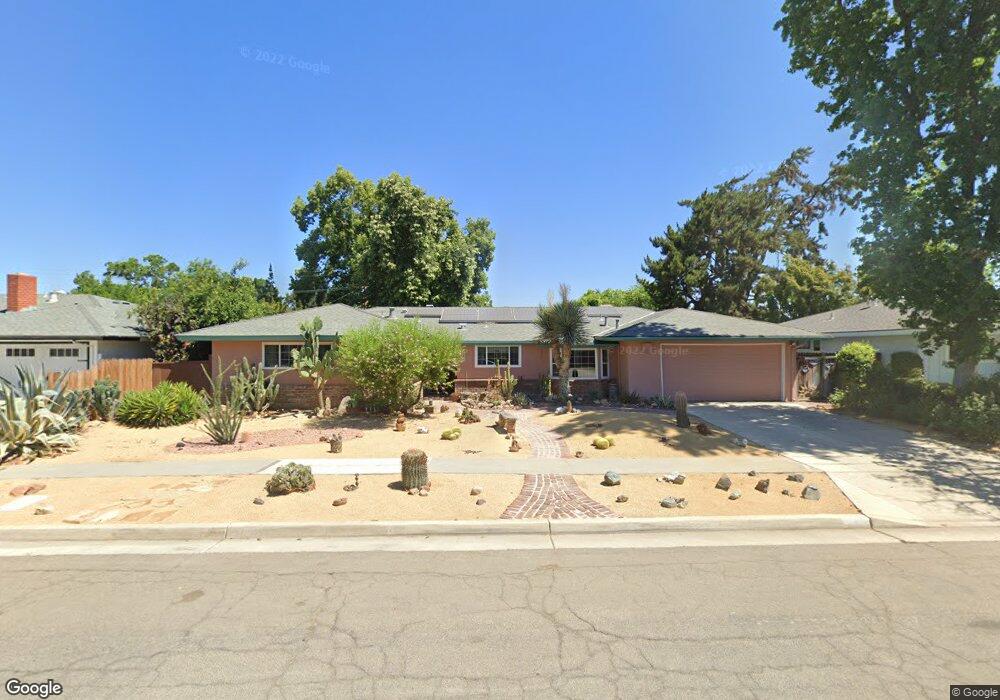
548 W Pico Ave Fresno, CA 93705
Bullard NeighborhoodEstimated Value: $410,548 - $498,000
3
Beds
2
Baths
1,827
Sq Ft
$251/Sq Ft
Est. Value
About This Home
This home is located at 548 W Pico Ave, Fresno, CA 93705 and is currently estimated at $457,887, approximately $250 per square foot. 548 W Pico Ave is a home located in Fresno County with nearby schools including Powers-Ginsburg Elementary, Bullard High School, and Endeavor Charter.
Ownership History
Date
Name
Owned For
Owner Type
Purchase Details
Closed on
Feb 12, 2004
Sold by
Hippenstiel Katherine J
Bought by
Bazar David J
Current Estimated Value
Home Financials for this Owner
Home Financials are based on the most recent Mortgage that was taken out on this home.
Original Mortgage
$205,000
Outstanding Balance
$95,209
Interest Rate
5.69%
Mortgage Type
Purchase Money Mortgage
Estimated Equity
$362,678
Create a Home Valuation Report for This Property
The Home Valuation Report is an in-depth analysis detailing your home's value as well as a comparison with similar homes in the area
Home Values in the Area
Average Home Value in this Area
Purchase History
| Date | Buyer | Sale Price | Title Company |
|---|---|---|---|
| Bazar David J | $235,000 | Stewart Title Of Fresno Cnty |
Source: Public Records
Mortgage History
| Date | Status | Borrower | Loan Amount |
|---|---|---|---|
| Open | Bazar David J | $205,000 |
Source: Public Records
Tax History Compared to Growth
Tax History
| Year | Tax Paid | Tax Assessment Tax Assessment Total Assessment is a certain percentage of the fair market value that is determined by local assessors to be the total taxable value of land and additions on the property. | Land | Improvement |
|---|---|---|---|---|
| 2025 | $4,087 | $334,101 | $56,858 | $277,243 |
| 2023 | $4,007 | $321,129 | $54,651 | $266,478 |
| 2022 | $3,950 | $314,833 | $53,580 | $261,253 |
| 2021 | $3,657 | $294,200 | $49,800 | $244,400 |
| 2020 | $3,280 | $262,800 | $44,500 | $218,300 |
| 2019 | $3,046 | $249,200 | $42,200 | $207,000 |
| 2018 | $2,980 | $244,400 | $41,400 | $203,000 |
| 2017 | $2,788 | $228,500 | $38,700 | $189,800 |
| 2016 | $2,617 | $217,700 | $36,900 | $180,800 |
| 2015 | $2,351 | $196,200 | $33,300 | $162,900 |
| 2014 | $2,198 | $183,800 | $31,200 | $152,600 |
Source: Public Records
Map
Nearby Homes
- 4702 N Fruit Ave
- 929 W Norwich Ave
- 709 W Alamos Ave
- 1027 W Ashcroft Ave
- 4939 N Fruit Ave
- 1245 W Pico Ave
- 4895 N Thorne Ave
- 4366 N Holt Ave
- 1110 W Fairmont Ave
- 4666 N Harrison Ave
- 4264 N Holt Ave
- 4734 N Harrison Ave
- 4246 N Holt Ave
- 1410 W Rialto Ave
- 4261 N Holt Ave
- 1028 W Holland Ave
- 4481 N Palm Ave
- 1484 W Indianapolis Ave
- 116 E Alamos Ave
- 4306 N Emerson Ave
- 534 W Pico Ave
- 608 W Pico Ave
- 547 W Rialto Ave
- 609 W Rialto Ave
- 533 W Rialto Ave
- 624 W Pico Ave
- 549 W Pico Ave
- 535 W Pico Ave
- 607 W Pico Ave
- 625 W Rialto Ave
- 519 W Rialto Ave
- 521 W Pico Ave
- 623 W Pico Ave
- 506 W Pico Ave
- 4660 N Delno Ave
- 4690 N Delno Ave
- 4691 N Fruit Ave
- 546 W Rialto Ave
- 544 W Gettysburg Ave
- 606 W Rialto Ave