5480 Stanfield Rd Bristol, GA 31518
Estimated Value: $74,112 - $330,000
--
Bed
--
Bath
--
Sq Ft
2.12
Acres
About This Home
This home is located at 5480 Stanfield Rd, Bristol, GA 31518 and is currently estimated at $202,056. 5480 Stanfield Rd is a home with nearby schools including Screven Elementary School, Arthur Williams Middle School, and Wayne County High School.
Ownership History
Date
Name
Owned For
Owner Type
Purchase Details
Closed on
Mar 28, 2018
Sold by
Smith Phillip E
Bought by
Smith Benny Anthony
Current Estimated Value
Purchase Details
Closed on
Apr 4, 2014
Sold by
Smith Phillip T
Bought by
Smith Phillip E
Purchase Details
Closed on
Nov 9, 2009
Sold by
Smith Phillip E
Bought by
Smith Phillip T and Smith Benny Anthony
Purchase Details
Closed on
Feb 1, 2004
Sold by
Smith Edsel Algernon and Smith Lawanna O
Bought by
Smith Phillip and Smith Betty J
Purchase Details
Closed on
Oct 1, 1979
Bought by
Smith Edsel Algernon and Smith Lawanna O
Purchase Details
Closed on
Feb 1, 1978
Purchase Details
Closed on
Mar 1, 1977
Create a Home Valuation Report for This Property
The Home Valuation Report is an in-depth analysis detailing your home's value as well as a comparison with similar homes in the area
Home Values in the Area
Average Home Value in this Area
Purchase History
| Date | Buyer | Sale Price | Title Company |
|---|---|---|---|
| Smith Benny Anthony | -- | -- | |
| Smith Phillip E | -- | -- | |
| Smith Phillip T | -- | -- | |
| Smith Phillip | $2,500 | -- | |
| Smith Edsel Algernon | $3,000 | -- | |
| -- | -- | -- | |
| -- | -- | -- |
Source: Public Records
Tax History Compared to Growth
Tax History
| Year | Tax Paid | Tax Assessment Tax Assessment Total Assessment is a certain percentage of the fair market value that is determined by local assessors to be the total taxable value of land and additions on the property. | Land | Improvement |
|---|---|---|---|---|
| 2024 | $57 | $2,143 | $2,046 | $97 |
| 2023 | $64 | $2,143 | $2,046 | $97 |
| 2022 | $67 | $2,143 | $2,046 | $97 |
| 2021 | $72 | $2,143 | $2,046 | $97 |
| 2020 | $204 | $5,847 | $5,750 | $97 |
| 2019 | $210 | $5,847 | $5,750 | $97 |
| 2018 | $210 | $5,847 | $5,750 | $97 |
| 2017 | $181 | $5,847 | $5,750 | $97 |
| 2016 | $175 | $5,847 | $5,750 | $97 |
| 2014 | $175 | $5,847 | $5,750 | $97 |
| 2013 | -- | $5,846 | $5,749 | $97 |
Source: Public Records
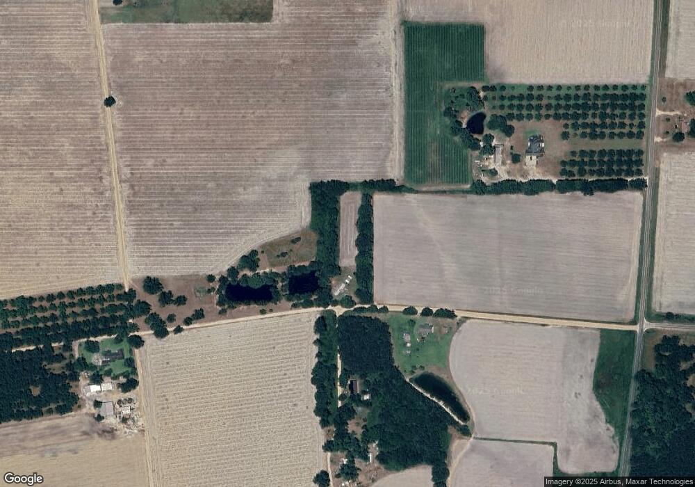
Map
Nearby Homes
- 59 Enoch Moody Rd
- 4424 Odum Ritch Rd
- 0 Ward Boyette Rd
- 4866 Kville Rd
- 0 Crump Rd
- 0 Metts-Overstreet Rd
- 5696 Johnson Rd
- 1517 Granny Crosby Rd
- 0 Ga Hwy 32
- 2460 Thornton Rd
- 1804 Dixie Rd
- 0 Kville Rd
- 0 Kville Rd Unit 10596074
- 1215 Dixie Rd
- 540 Freddy Rd
- 564 Hortense Rd
- 6159 Carter Dr
- 301 Whitaker Dr
- 204 Wasdin St
- 504 Grace St
- 323 Ab Smith Rd
- 5405 Stanfield Rd
- 75 A B Smith Rd
- 75 Ab Smith Rd
- 3688 Mikell Lake Rd
- 75 Rollie Deal Rd
- 267 A B Smith Rd
- 267 Ab Smith Rd
- 3665 Mikell Lake Rd
- 4120 Long Branch Rd
- 3975 Long Branch Rd
- 4979 Stanfield Rd
- 4922 Stanfield Rd
- 3211 Mikell Lake Rd
- 215 Poor Man Rd
- 3564 Long Branch Rd
- 1638 Mikell Lake Rd
- 3638 Long Branch Rd
- 1499 Michael Lake Rd
- 4031 Long Branch Rd