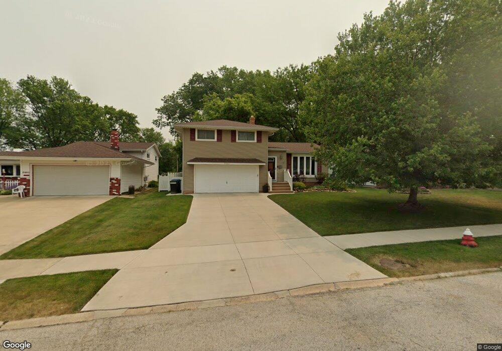
5481 Sherwood Dr Cleveland, OH 44126
Estimated Value: $285,000 - $321,000
3
Beds
2
Baths
1,446
Sq Ft
$205/Sq Ft
Est. Value
About This Home
This home is located at 5481 Sherwood Dr, Cleveland, OH 44126 and is currently estimated at $296,819, approximately $205 per square foot. 5481 Sherwood Dr is a home located in Cuyahoga County with nearby schools including Gilles-Sweet Elementary School, Lewis F Mayer Middle School, and Fairview High School.
Ownership History
Date
Name
Owned For
Owner Type
Purchase Details
Closed on
Sep 24, 2003
Sold by
Ginley Maureen M
Bought by
Loescher Steven B and Moloney Elizabeth L
Current Estimated Value
Home Financials for this Owner
Home Financials are based on the most recent Mortgage that was taken out on this home.
Original Mortgage
$119,500
Outstanding Balance
$55,779
Interest Rate
6.33%
Mortgage Type
Purchase Money Mortgage
Estimated Equity
$241,040
Purchase Details
Closed on
Jan 1, 1975
Bought by
Ginley Maureen M
Create a Home Valuation Report for This Property
The Home Valuation Report is an in-depth analysis detailing your home's value as well as a comparison with similar homes in the area
Home Values in the Area
Average Home Value in this Area
Purchase History
| Date | Buyer | Sale Price | Title Company |
|---|---|---|---|
| Loescher Steven B | $151,500 | Midland Title Security Inc | |
| Ginley Maureen M | -- | -- |
Source: Public Records
Mortgage History
| Date | Status | Borrower | Loan Amount |
|---|---|---|---|
| Open | Loescher Steven B | $119,500 |
Source: Public Records
Tax History Compared to Growth
Tax History
| Year | Tax Paid | Tax Assessment Tax Assessment Total Assessment is a certain percentage of the fair market value that is determined by local assessors to be the total taxable value of land and additions on the property. | Land | Improvement |
|---|---|---|---|---|
| 2024 | $6,075 | $88,375 | $17,710 | $70,665 |
| 2023 | $5,428 | $67,490 | $15,580 | $51,910 |
| 2022 | $5,293 | $67,480 | $15,580 | $51,910 |
| 2021 | $5,406 | $67,480 | $15,580 | $51,910 |
| 2020 | $4,973 | $54,430 | $12,570 | $41,860 |
| 2019 | $4,421 | $155,500 | $35,900 | $119,600 |
| 2018 | $2,214 | $54,430 | $12,570 | $41,860 |
| 2017 | $4,161 | $47,290 | $10,430 | $36,860 |
| 2016 | $4,133 | $47,290 | $10,430 | $36,860 |
| 2015 | $3,861 | $47,290 | $10,430 | $36,860 |
| 2014 | $3,861 | $45,930 | $10,120 | $35,810 |
Source: Public Records
Map
Nearby Homes
- 5951 Rockport Ln
- 20930 Mastick Rd
- 22534 Bard Ave
- 22247 Mastick Rd
- 22503 Sandy Ln
- 22506 Sharon Ln
- 22045 Morton Ave
- 4464 W 224th St
- 4627 W 223rd St
- 22934 Mastick Rd Unit 102
- 21763 Hillsdale Ave
- 21437 Hillsdale Ave
- 4710 Grayton Rd
- 4720 Grayton Rd
- 4514 Orchard Rd
- 22895 Mastick Rd
- 4309 W 222nd St
- 22968 Maple Ridge Rd Unit 103
- 22976 Maple Ridge Rd Unit B 105
- 4401 Fairview Park
- 5461 Sherwood Dr
- 5501 Sherwood Dr
- 5441 Sherwood Dr
- 5521 Sherwood Dr
- 5421 Sherwood Dr
- 5460 Sherwood Dr
- 5420 Sherwood Dr
- 5401 Sherwood Dr
- 21425 Kings Hwy
- 21720 Sherwood Dr
- 21701 Sherwood Dr
- 5400 Sherwood Dr
- 5330 Kings Hwy
- 21566 Mastick Rd
- 21536 Mastick Rd
- 5381 Sherwood Dr
- 21721 Sherwood Dr
- 5460 Friar Cir
- 21516 Mastick Rd
- 21760 Sherwood Dr