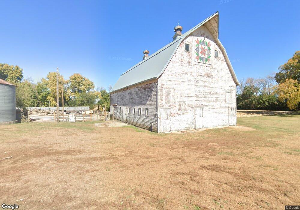
5482 Highway 7 Aurelia, IA 51005
Estimated Value: $134,000 - $234,000
4
Beds
1
Bath
1,618
Sq Ft
$113/Sq Ft
Est. Value
About This Home
This home is located at 5482 Highway 7, Aurelia, IA 51005 and is currently estimated at $182,502, approximately $112 per square foot. 5482 Highway 7 is a home located in Cherokee County with nearby schools including Aurelia Elementary, Alta-Aurelia Middle School, and Alta Aurelia High School.
Ownership History
Date
Name
Owned For
Owner Type
Purchase Details
Closed on
Jan 27, 2005
Sold by
Conley Bonni L
Bought by
Mier Thomas W and Mier Nicole
Current Estimated Value
Home Financials for this Owner
Home Financials are based on the most recent Mortgage that was taken out on this home.
Original Mortgage
$66,200
Outstanding Balance
$33,600
Interest Rate
5.83%
Mortgage Type
New Conventional
Estimated Equity
$148,902
Create a Home Valuation Report for This Property
The Home Valuation Report is an in-depth analysis detailing your home's value as well as a comparison with similar homes in the area
Home Values in the Area
Average Home Value in this Area
Purchase History
| Date | Buyer | Sale Price | Title Company |
|---|---|---|---|
| Mier Thomas W | $83,000 | None Available |
Source: Public Records
Mortgage History
| Date | Status | Borrower | Loan Amount |
|---|---|---|---|
| Open | Mier Thomas W | $66,200 |
Source: Public Records
Tax History Compared to Growth
Tax History
| Year | Tax Paid | Tax Assessment Tax Assessment Total Assessment is a certain percentage of the fair market value that is determined by local assessors to be the total taxable value of land and additions on the property. | Land | Improvement |
|---|---|---|---|---|
| 2025 | $1,080 | $117,880 | $16,600 | $101,280 |
| 2024 | $1,080 | $104,750 | $13,110 | $91,640 |
| 2023 | $894 | $104,750 | $13,110 | $91,640 |
| 2022 | $810 | $77,100 | $10,550 | $66,550 |
| 2021 | $810 | $77,820 | $11,270 | $66,550 |
| 2020 | $810 | $76,710 | $10,780 | $65,930 |
| 2019 | $826 | $85,810 | $0 | $0 |
| 2018 | $748 | $80,177 | $0 | $0 |
| 2017 | $834 | $90,046 | $0 | $0 |
| 2016 | $812 | $90,046 | $0 | $0 |
| 2015 | $916 | $100,392 | $0 | $0 |
| 2014 | $916 | $100,392 | $0 | $0 |
Source: Public Records
Map
Nearby Homes