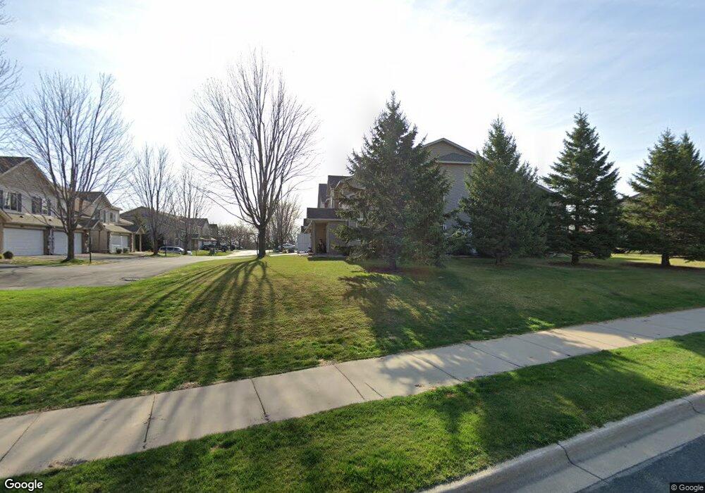
5483 Bryce Ave Inver Grove Heights, MN 55076
Estimated Value: $262,804 - $282,000
2
Beds
2
Baths
1,523
Sq Ft
$179/Sq Ft
Est. Value
About This Home
This home is located at 5483 Bryce Ave, Inver Grove Heights, MN 55076 and is currently estimated at $272,201, approximately $178 per square foot. 5483 Bryce Ave is a home located in Dakota County with nearby schools including Hilltop Elementary School, Inver Grove Heights Middle School, and Simley Senior High School.
Ownership History
Date
Name
Owned For
Owner Type
Purchase Details
Closed on
Aug 31, 2020
Sold by
Hunt Leon B and Hunt Jill M
Bought by
Weis Mark L and Weis Michelle A
Current Estimated Value
Home Financials for this Owner
Home Financials are based on the most recent Mortgage that was taken out on this home.
Original Mortgage
$195,000
Outstanding Balance
$173,050
Interest Rate
2.9%
Mortgage Type
New Conventional
Estimated Equity
$99,151
Purchase Details
Closed on
Nov 5, 2003
Sold by
Bruggeman Homes Inc
Bought by
Roeller Jill M
Create a Home Valuation Report for This Property
The Home Valuation Report is an in-depth analysis detailing your home's value as well as a comparison with similar homes in the area
Home Values in the Area
Average Home Value in this Area
Purchase History
| Date | Buyer | Sale Price | Title Company |
|---|---|---|---|
| Weis Mark L | $216,000 | Titlesmart Inc | |
| Roeller Jill M | $184,438 | -- |
Source: Public Records
Mortgage History
| Date | Status | Borrower | Loan Amount |
|---|---|---|---|
| Open | Weis Mark L | $195,000 |
Source: Public Records
Tax History Compared to Growth
Tax History
| Year | Tax Paid | Tax Assessment Tax Assessment Total Assessment is a certain percentage of the fair market value that is determined by local assessors to be the total taxable value of land and additions on the property. | Land | Improvement |
|---|---|---|---|---|
| 2024 | $2,382 | $242,800 | $51,500 | $191,300 |
| 2023 | $2,382 | $244,000 | $51,800 | $192,200 |
| 2022 | $2,100 | $237,400 | $51,700 | $185,700 |
| 2021 | $2,002 | $205,100 | $45,000 | $160,100 |
| 2020 | $2,098 | $193,800 | $42,800 | $151,000 |
| 2019 | $2,059 | $184,000 | $40,800 | $143,200 |
| 2018 | $1,989 | $168,000 | $37,800 | $130,200 |
| 2017 | $1,962 | $161,100 | $35,000 | $126,100 |
| 2016 | $1,644 | $154,700 | $33,300 | $121,400 |
| 2015 | $1,480 | $127,241 | $26,730 | $100,511 |
| 2014 | -- | $107,948 | $23,664 | $84,284 |
| 2013 | -- | $92,252 | $20,889 | $71,363 |
Source: Public Records
Map
Nearby Homes
- 5472 Bryce Ave
- 1205 8th Ave S
- 1253 7th Ave S
- 1333 6th Ave S
- 1456 6th Ave S
- 5903 Bryant Ln
- 1436 5th Ave S
- 5938 Burke Trail
- 5887 Blackberry Bridge Path
- 209 Macarthur St W
- 233 Richmond St W
- 6050 Cahill Ave
- 101 Frost St W
- 235 9th St S
- 804 8th Ave S
- 851 5th Ave S
- 6280 Carleda Way
- 159 Richmond St E
- 4852 Bisset Ln Unit 9504
- 227 Dale St E
- 5481 Bryce Ave
- 5497 Bristol Path
- 5495 Bristol Path
- 5479 Bryce Ave
- 5493 Bristol Path
- 5475 Bryce Ave
- 5477 Bryce Ave
- 5473 Bryce Ave
- 5471 Bryce Ave
- 5467 Bryce Ave
- 5469 Bryce Ave
- 5465 Bryce Ave
- 5463 Bryce Ave
- 5478 Bryce Ave
- 5491 Bristol Path
- 5468 Bryce Ave
- 5480 Bryce Ave
- 5489 Bristol Path
- 5460 Bryce Ave
- 5470 Bryce Ave