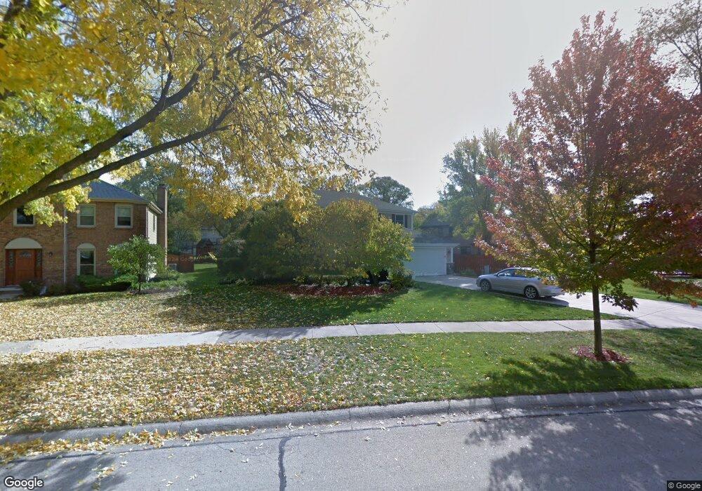
5485 Ranier Dr Lisle, IL 60532
Steeple Run NeighborhoodEstimated Value: $592,757 - $664,000
Studio
1
Bath
2,383
Sq Ft
$262/Sq Ft
Est. Value
About This Home
This home is located at 5485 Ranier Dr, Lisle, IL 60532 and is currently estimated at $623,439, approximately $261 per square foot. 5485 Ranier Dr is a home located in DuPage County with nearby schools including Lisle Elementary School, Lisle Jr High School, and Lisle High School.
Ownership History
Date
Name
Owned For
Owner Type
Purchase Details
Closed on
Jul 30, 2003
Sold by
Heaton David Paul
Bought by
Loveless Robert A and Loveless Lisa M
Current Estimated Value
Home Financials for this Owner
Home Financials are based on the most recent Mortgage that was taken out on this home.
Original Mortgage
$273,000
Outstanding Balance
$120,830
Interest Rate
5.69%
Mortgage Type
Stand Alone First
Estimated Equity
$502,609
Create a Home Valuation Report for This Property
The Home Valuation Report is an in-depth analysis detailing your home's value as well as a comparison with similar homes in the area
Home Values in the Area
Average Home Value in this Area
Purchase History
| Date | Buyer | Sale Price | Title Company |
|---|---|---|---|
| Loveless Robert A | $342,000 | Pntn |
Source: Public Records
Mortgage History
| Date | Status | Borrower | Loan Amount |
|---|---|---|---|
| Open | Loveless Robert A | $273,000 |
Source: Public Records
Tax History
| Year | Tax Paid | Tax Assessment Tax Assessment Total Assessment is a certain percentage of the fair market value that is determined by local assessors to be the total taxable value of land and additions on the property. | Land | Improvement |
|---|---|---|---|---|
| 2024 | $12,407 | $178,686 | $77,356 | $101,330 |
| 2023 | $11,906 | $163,080 | $70,600 | $92,480 |
| 2022 | $11,438 | $157,560 | $68,210 | $89,350 |
| 2021 | $11,108 | $151,600 | $65,630 | $85,970 |
| 2020 | $10,648 | $148,870 | $64,450 | $84,420 |
| 2019 | $10,481 | $142,430 | $61,660 | $80,770 |
| 2018 | $10,244 | $139,640 | $60,450 | $79,190 |
| 2017 | $10,149 | $134,930 | $58,410 | $76,520 |
| 2016 | $9,918 | $130,050 | $56,300 | $73,750 |
| 2015 | $9,802 | $122,470 | $53,020 | $69,450 |
| 2014 | $9,746 | $120,830 | $54,260 | $66,570 |
| 2013 | $9,559 | $121,120 | $54,390 | $66,730 |
Source: Public Records
Map
Nearby Homes
- 5387 Candlewood Ct
- 2183 Oak Hill Dr
- 6S010 Steeple Run Dr Unit 2D
- 5734 Oak Ridge Way
- 2007 Ohio St
- 5170 Scott Cir
- 6280 Lee Ct
- Lots 11 and 12 Rt 53 and Ogden Ave
- 6284 Lee Ct
- 6260 Lafond Cir
- 6279 Lee Ct
- 6282 Lee Ct
- 6269 Lafond Cir
- 6285 Lee Ct
- 2703 Wayfaring Ln Unit B
- 3000 Burlington Ave
- 5800 Oakwood Dr Unit B-28
- 5820 Oakwood Dr Unit 5L
- 5810 Oakwood Dr Unit A-50
- 2238 Abbeywood Dr Unit F
Your Personal Tour Guide
Ask me questions while you tour the home.