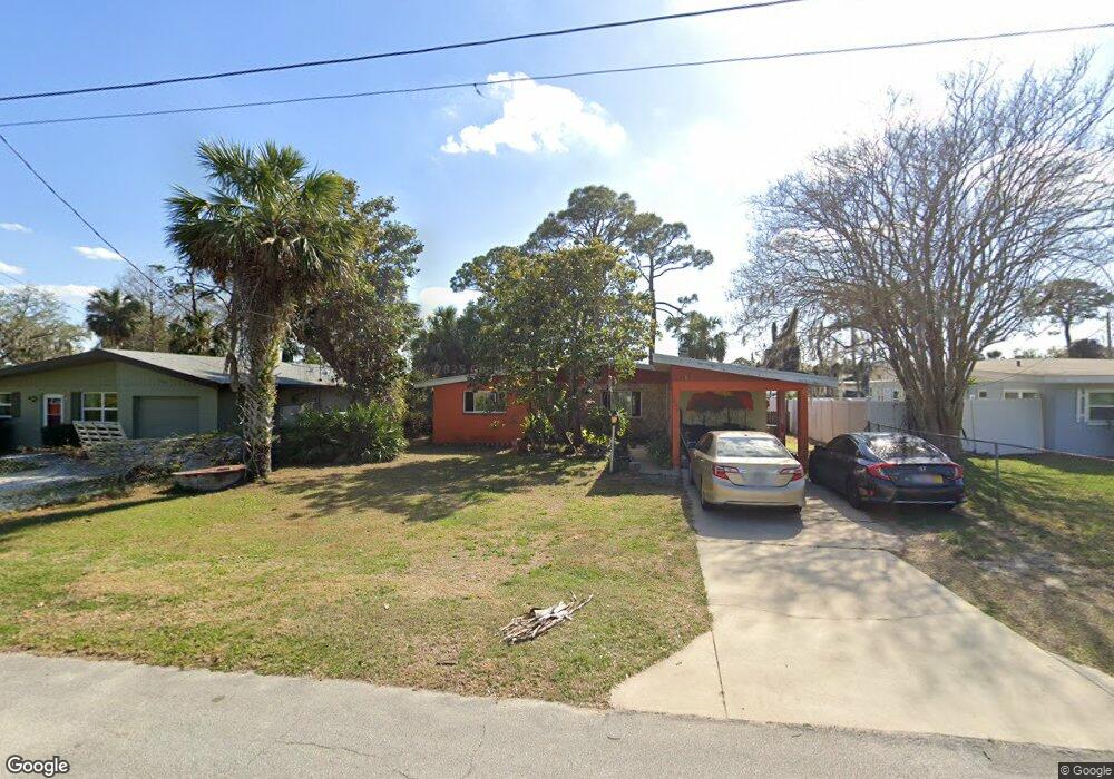
5486 W Bayshore Dr Port Orange, FL 32127
Harbor Oaks NeighborhoodEstimated Value: $232,435 - $265,000
2
Beds
1
Bath
1,125
Sq Ft
$218/Sq Ft
Est. Value
About This Home
This home is located at 5486 W Bayshore Dr, Port Orange, FL 32127 and is currently estimated at $245,359, approximately $218 per square foot. 5486 W Bayshore Dr is a home located in Volusia County with nearby schools including Port Orange Elementary School, Silver Sands Middle School, and Spruce Creek High School.
Ownership History
Date
Name
Owned For
Owner Type
Purchase Details
Closed on
Aug 21, 2018
Sold by
Onesky Jessy and Onesky Gerald Richard
Bought by
Onesky Gerald R and Onesky Deanna Renne
Current Estimated Value
Purchase Details
Closed on
Apr 11, 2018
Sold by
Linardi Pedro J
Bought by
Onesky Jerry
Purchase Details
Closed on
Nov 14, 2016
Sold by
Onesky Gerald Brandan
Bought by
Lizardi Pedro J
Purchase Details
Closed on
Jul 21, 2014
Sold by
Onesky Gerald R
Bought by
Onesky Gerald B
Create a Home Valuation Report for This Property
The Home Valuation Report is an in-depth analysis detailing your home's value as well as a comparison with similar homes in the area
Home Values in the Area
Average Home Value in this Area
Purchase History
| Date | Buyer | Sale Price | Title Company |
|---|---|---|---|
| Onesky Gerald R | -- | None Available | |
| Onesky Jerry | -- | Attorney | |
| Lizardi Pedro J | -- | None Available | |
| Onesky Gerald B | -- | None Available |
Source: Public Records
Tax History Compared to Growth
Tax History
| Year | Tax Paid | Tax Assessment Tax Assessment Total Assessment is a certain percentage of the fair market value that is determined by local assessors to be the total taxable value of land and additions on the property. | Land | Improvement |
|---|---|---|---|---|
| 2025 | $2,321 | $194,871 | $68,700 | $126,171 |
| 2024 | $2,321 | $195,796 | $68,700 | $127,096 |
| 2023 | $2,321 | $142,377 | $50,700 | $91,677 |
| 2022 | $2,094 | $124,896 | $39,300 | $85,596 |
| 2021 | $1,930 | $97,042 | $25,200 | $71,842 |
| 2020 | $1,864 | $96,410 | $21,600 | $74,810 |
| 2019 | $1,677 | $85,221 | $19,800 | $65,421 |
| 2018 | $1,659 | $84,985 | $17,100 | $67,885 |
| 2017 | $1,552 | $75,879 | $15,600 | $60,279 |
| 2016 | $1,454 | $68,831 | $0 | $0 |
| 2015 | $1,367 | $60,767 | $0 | $0 |
| 2014 | $1,293 | $56,449 | $0 | $0 |
Source: Public Records
Map
Nearby Homes
- 720 Palm Circle Dr
- 720 Palm Cir Dr
- 411 Acacia Cir
- 5476 W Bayshore Dr
- 418 Acacia Cir
- 5650 Palm Ave
- 5585 Lancewood Cir S Unit S
- 5585 Lancewood Cir S
- 5561 Magnolia Ave
- 5563 W Magnolia Ave
- 276 Farmbrook Rd
- 5697 Christiancy Ave
- 5508 Lancewood Cir N
- 88 E Bayshore Dr
- 24 Oak St
- 5478 Landis Ave
- 18 E Magnolia Ave
- 5200 S Nova Rd Unit 202
- 5200 S Nova Rd Unit 131
- 5200 S Nova Rd Unit 82
- 5488 W Bayshore Dr
- 327 Acacia Dr
- 403 Acacia Dr
- 5490 W Bayshore Dr
- 715 Palm Circle Dr
- 405 Acacia Dr
- 5492 W Bayshore Dr
- 5481 W Bayshore Dr
- 717 Palm Circle Dr
- 5483 W Bayshore Dr
- 719 Palm Circle Dr
- 400 Acacia Dr
- 321 Acacia Dr
- 5480 W Bayshore Dr
- 326 Acacia Dr
- 711 Palm Circle Dr
- 409 Acacia Cir
- 5485 W Bayshore Dr
- 402 Acacia Dr
- 319 Acacia Dr