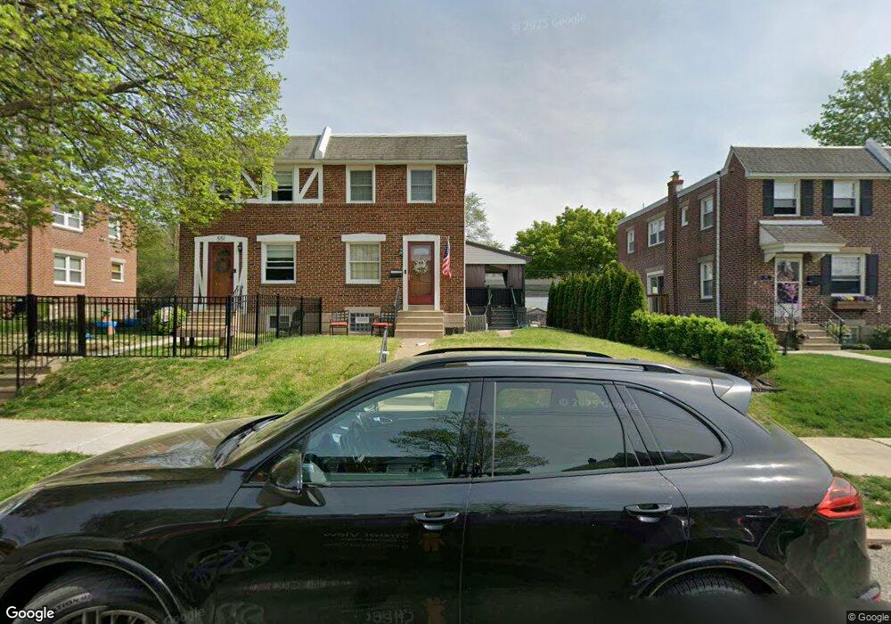
549 Acorn St Philadelphia, PA 19128
Upper Roxborough NeighborhoodEstimated Value: $355,000 - $386,000
3
Beds
1
Bath
1,216
Sq Ft
$300/Sq Ft
Est. Value
About This Home
This home is located at 549 Acorn St, Philadelphia, PA 19128 and is currently estimated at $365,191, approximately $300 per square foot. 549 Acorn St is a home with nearby schools including Shawmont School, Roxborough High School, and Green Woods CS.
Ownership History
Date
Name
Owned For
Owner Type
Purchase Details
Closed on
Nov 16, 2006
Sold by
Jennings Betty A and Barber Earle N
Bought by
Vercio James A and Vercio Patricia S
Current Estimated Value
Home Financials for this Owner
Home Financials are based on the most recent Mortgage that was taken out on this home.
Original Mortgage
$145,600
Outstanding Balance
$86,607
Interest Rate
6.31%
Mortgage Type
Purchase Money Mortgage
Estimated Equity
$278,584
Create a Home Valuation Report for This Property
The Home Valuation Report is an in-depth analysis detailing your home's value as well as a comparison with similar homes in the area
Home Values in the Area
Average Home Value in this Area
Purchase History
| Date | Buyer | Sale Price | Title Company |
|---|---|---|---|
| Vercio James A | $182,000 | Commonwealth Title |
Source: Public Records
Mortgage History
| Date | Status | Borrower | Loan Amount |
|---|---|---|---|
| Open | Vercio James A | $145,600 |
Source: Public Records
Tax History Compared to Growth
Tax History
| Year | Tax Paid | Tax Assessment Tax Assessment Total Assessment is a certain percentage of the fair market value that is determined by local assessors to be the total taxable value of land and additions on the property. | Land | Improvement |
|---|---|---|---|---|
| 2025 | $3,800 | $332,100 | $66,420 | $265,680 |
| 2024 | $3,800 | $332,100 | $66,420 | $265,680 |
| 2023 | $3,800 | $271,500 | $54,300 | $217,200 |
| 2022 | $2,493 | $226,500 | $54,300 | $172,200 |
| 2021 | $3,123 | $0 | $0 | $0 |
| 2020 | $3,123 | $0 | $0 | $0 |
| 2019 | $3,014 | $0 | $0 | $0 |
| 2018 | $2,335 | $0 | $0 | $0 |
| 2017 | $2,755 | $0 | $0 | $0 |
| 2016 | $2,335 | $0 | $0 | $0 |
| 2015 | $2,235 | $0 | $0 | $0 |
| 2014 | -- | $196,800 | $59,200 | $137,600 |
| 2012 | -- | $24,800 | $4,452 | $20,348 |
Source: Public Records
Map
Nearby Homes
- 577 Acorn St
- 539 Overlook Rd
- 572 Hermitage St
- 6232 Ridge Ave
- 514 Overlook Rd
- 623 Hermitage St
- 562 Leverington Ave
- 640 Hermitage St
- 468 Leverington Ave
- 450 Ripka St
- 6526 Ridge Ave
- 628 Leverington Ave Unit 1
- 438 1/2 Leverington Ave
- 4531 Mitchell St
- 4538 Mitchell St
- 412 Delmar St
- 603 Green Ln
- 400 Delmar St
- 517 Conarroe St
- 452 Green Ln