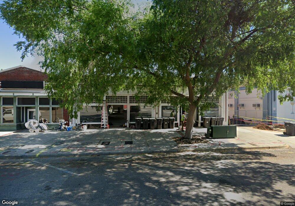
549 Broad St Augusta, GA 30901
Downtown Augusta NeighborhoodEstimated Value: $436,000
Studio
1
Bath
1,700
Sq Ft
$256/Sq Ft
Est. Value
About This Home
This home is located at 549 Broad St, Augusta, GA 30901 and is currently priced at $436,000, approximately $256 per square foot. 549 Broad St is a home located in Richmond County with nearby schools including W.S. Hornsby School, W.S. Hornsby Elementary School, and Johnson Magnet.
Ownership History
Date
Name
Owned For
Owner Type
Purchase Details
Closed on
Apr 18, 2017
Sold by
Davenport James Roy
Bought by
551 Broad Street Llc
Current Estimated Value
Home Financials for this Owner
Home Financials are based on the most recent Mortgage that was taken out on this home.
Original Mortgage
$224,000
Interest Rate
4.23%
Mortgage Type
Purchase Money Mortgage
Create a Home Valuation Report for This Property
The Home Valuation Report is an in-depth analysis detailing your home's value as well as a comparison with similar homes in the area
Home Values in the Area
Average Home Value in this Area
Purchase History
| Date | Buyer | Sale Price | Title Company |
|---|---|---|---|
| 551 Broad Street Llc | $280,000 | -- |
Source: Public Records
Mortgage History
| Date | Status | Borrower | Loan Amount |
|---|---|---|---|
| Closed | 551 Broad Street Llc | $224,000 |
Source: Public Records
Tax History
| Year | Tax Paid | Tax Assessment Tax Assessment Total Assessment is a certain percentage of the fair market value that is determined by local assessors to be the total taxable value of land and additions on the property. | Land | Improvement |
|---|---|---|---|---|
| 2025 | $3,909 | $112,000 | $31,460 | $733,764 |
| 2024 | $3,909 | $57,964 | $31,460 | $26,504 |
| 2023 | $2,100 | $51,815 | $31,579 | $20,236 |
| 2022 | $1,917 | $49,015 | $31,579 | $17,436 |
| 2021 | $3,166 | $39,223 | $31,579 | $7,644 |
| 2020 | $3,121 | $81,827 | $31,579 | $50,248 |
| 2019 | $3,315 | $81,827 | $31,579 | $50,248 |
| 2018 | $3,342 | $81,827 | $31,579 | $50,248 |
Source: Public Records
Map
Nearby Homes
- 1 7th St Unit 602
- 1 7th St Unit 1202
- 1 7th St Unit 1602
- 1 7th St Unit STE 1105
- 1 7th St Unit 805
- 1 7th St
- 1 7th St Unit 1402
- 444 Greene St
- 510 Walker St
- 306 Ellis St
- 434 Watkins St
- 305 Walker St
- 936 Broad St Unit 211
- 936 Broad St Unit 214
- 936 Broad St Unit 416
- 936 Broad St Unit 304
- 936 Broad St Unit 404
- 228 Greene St
- 206 Reynolds St
- 509 Walton Way
- 0 Broad St Unit 6554871-10307800
- 0 Broad St Unit 6554871-10701231
- 544 Broad St
- 501 Broad St
- 586 Broad St
- 525 Ellis St
- 216 6th St
- 220 6th St
- 471 Broad St
- 120 5th St
- 608 Broad St Unit 608-A
- 608 Broad St
- 608 Broad St Unit A
- 608 Broad St Unit 1
- 232FIF 5th St
- 432 Reynolds St
- 608 - B Broad St Unit B
- 234 5th St
- 542 Ellis St
- 544 Ellis St
Your Personal Tour Guide
Ask me questions while you tour the home.