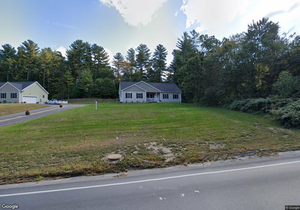
549 Charles Bancroft Hwy Litchfield, NH 03052
Estimated Value: $540,000 - $628,000
3
Beds
2
Baths
1,378
Sq Ft
$414/Sq Ft
Est. Value
About This Home
This home is located at 549 Charles Bancroft Hwy, Litchfield, NH 03052 and is currently estimated at $570,596, approximately $414 per square foot. 549 Charles Bancroft Hwy is a home located in Hillsborough County with nearby schools including Griffin Memorial School and St. Francis of Assisi School.
Ownership History
Date
Name
Owned For
Owner Type
Purchase Details
Closed on
Feb 28, 2022
Sold by
Desveaux Richard and Desveaux Maureen
Bought by
Desveaux Ft
Current Estimated Value
Purchase Details
Closed on
Sep 13, 2018
Sold by
Mtea Rt
Bought by
Desveaux Richard and Desveaux Maureen
Purchase Details
Closed on
May 9, 2018
Sold by
Mtea Rt
Bought by
Crowley Virginia M and Mcmanus Thomas J
Create a Home Valuation Report for This Property
The Home Valuation Report is an in-depth analysis detailing your home's value as well as a comparison with similar homes in the area
Home Values in the Area
Average Home Value in this Area
Purchase History
| Date | Buyer | Sale Price | Title Company |
|---|---|---|---|
| Desveaux Ft | -- | None Available | |
| Desveaux Richard | $332,533 | -- | |
| Crowley Virginia M | $369,000 | -- |
Source: Public Records
Tax History Compared to Growth
Tax History
| Year | Tax Paid | Tax Assessment Tax Assessment Total Assessment is a certain percentage of the fair market value that is determined by local assessors to be the total taxable value of land and additions on the property. | Land | Improvement |
|---|---|---|---|---|
| 2024 | $7,878 | $379,100 | $126,500 | $252,600 |
| 2023 | $7,938 | $379,100 | $126,500 | $252,600 |
| 2022 | $6,898 | $362,500 | $126,500 | $236,000 |
| 2021 | $6,685 | $362,500 | $126,500 | $236,000 |
| 2020 | $6,735 | $362,500 | $126,500 | $236,000 |
| 2019 | $6,759 | $285,800 | $100,900 | $184,900 |
| 2017 | $2,271 | $101,000 | $101,000 | $0 |
| 2016 | $2,182 | $101,000 | $101,000 | $0 |
| 2015 | $2,058 | $101,000 | $101,000 | $0 |
| 2014 | $1,935 | $93,500 | $93,500 | $0 |
| 2013 | $1,923 | $93,500 | $93,500 | $0 |
Source: Public Records
Map
Nearby Homes
- 3-C Mustang Dr Unit MODEL
- 9 Mustang Dr Unit C
- 9 Mustang Dr Unit B
- 7 Mustang Dr Unit C
- 7 Mustang Dr Unit END UNIT-A
- 29 Watts Landing Unit 24
- 15 Tamarack Ct
- 67 Pullman St
- 22 Kimberly Dr
- 490 Charles Bancroft Hwy
- 4543 Brown Ave
- 4481 Brown Ave
- 8 Iroquois Cir
- 769 Daniel Webster Hwy
- 4243 Brown Ave
- 25 Chatfield Dr
- 29 Bedford Rd
- 1 Pleasant St
- 31 Garden Dr
- 1 Tallarico St Unit 14
- 547 Charles Bancroft Hwy
- 551 Charles Bancroft Hwy
- 545 Charles Bancroft Hwy
- 553 Charles Bancroft Hwy
- 1 Temple Dr
- 2 Temple Dr
- 5-A END UNIT Mustang Dr Unit A
- 5-D END UNIT Mustang Dr Unit D
- 3-D END UNIT Mustang Dr Unit D
- 27 Woodland Dr
- 4 Corning Rd
- 555 Charles Bancroft Hwy Unit 114
- 555 Charles Bancroft Hwy
- 23 Woodland Dr
- 541 Charles Bancroft Hwy
- 6 Corning Rd
- 21 Woodland Dr
- 8 Corning Rd
- 3 Temple Dr
- 19 Woodland Dr