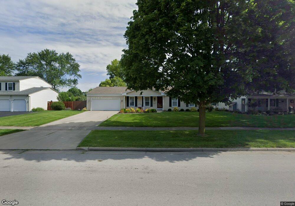
549 Dussel Dr Maumee, OH 43537
Estimated Value: $244,000 - $303,000
3
Beds
3
Baths
1,693
Sq Ft
$156/Sq Ft
Est. Value
About This Home
This home is located at 549 Dussel Dr, Maumee, OH 43537 and is currently estimated at $264,872, approximately $156 per square foot. 549 Dussel Dr is a home located in Lucas County with nearby schools including Fairfield Elementary School, Maumee Intermediate School, and Maumee Middle School.
Ownership History
Date
Name
Owned For
Owner Type
Purchase Details
Closed on
Apr 22, 2004
Sold by
Boost David A
Bought by
Ellis Charles Emerson and Ellis Marcia M
Current Estimated Value
Home Financials for this Owner
Home Financials are based on the most recent Mortgage that was taken out on this home.
Original Mortgage
$128,000
Outstanding Balance
$58,111
Interest Rate
5.48%
Mortgage Type
Purchase Money Mortgage
Estimated Equity
$206,761
Create a Home Valuation Report for This Property
The Home Valuation Report is an in-depth analysis detailing your home's value as well as a comparison with similar homes in the area
Home Values in the Area
Average Home Value in this Area
Purchase History
| Date | Buyer | Sale Price | Title Company |
|---|---|---|---|
| Ellis Charles Emerson | $160,000 | -- |
Source: Public Records
Mortgage History
| Date | Status | Borrower | Loan Amount |
|---|---|---|---|
| Open | Ellis Charles Emerson | $128,000 |
Source: Public Records
Tax History
| Year | Tax Paid | Tax Assessment Tax Assessment Total Assessment is a certain percentage of the fair market value that is determined by local assessors to be the total taxable value of land and additions on the property. | Land | Improvement |
|---|---|---|---|---|
| 2025 | -- | $72,695 | $14,105 | $58,590 |
| 2024 | $2,355 | $72,695 | $14,105 | $58,590 |
| 2023 | $4,407 | $58,065 | $11,550 | $46,515 |
| 2022 | $3,918 | $58,065 | $11,550 | $46,515 |
| 2021 | $4,136 | $58,065 | $11,550 | $46,515 |
| 2020 | $3,916 | $49,035 | $9,485 | $39,550 |
| 2019 | $3,818 | $49,035 | $9,485 | $39,550 |
| 2018 | $3,547 | $49,035 | $9,485 | $39,550 |
| 2017 | $3,343 | $42,525 | $8,190 | $34,335 |
| 2016 | $3,306 | $121,500 | $23,400 | $98,100 |
| 2015 | $3,290 | $121,500 | $23,400 | $98,100 |
| 2014 | $3,055 | $41,690 | $8,020 | $33,670 |
| 2013 | $3,055 | $41,690 | $8,020 | $33,670 |
Source: Public Records
Map
Nearby Homes
- 632 Brahier Ln
- 1409 Bradshaw Ct
- 357 Wrexham Ln
- 1269 Westfield Dr
- 324 Oxford Ct
- 2585 W Village Dr
- 1371 Junior Dr
- 99 N Masters Ct
- 2147 Glen Arbor Dr
- 519 Sackett St
- 1419 7th St
- 1033 Anderson Ave
- 1036 River Rd
- 224 Sackett St
- 1004 Birch Ave
- 706 Waite Ave
- 213 E Indiana Ave
- 716 Ransom St
- 408 Clinton St
- 1014 Hugo St
Your Personal Tour Guide
Ask me questions while you tour the home.