549 E Vilas Rd Central Point, OR 97502
Studio
--
Bath
10,348
Sq Ft
129,809
Sq Ft Lot
About This Home
This home is located at 549 E Vilas Rd, Central Point, OR 97502. 549 E Vilas Rd is a home located in Jackson County with nearby schools including Sams Valley Elementary School, Scenic Middle School, and Crater High School.
Ownership History
Date
Name
Owned For
Owner Type
Purchase Details
Closed on
Aug 8, 2007
Sold by
Bonfield Anne L
Bought by
C H U N K Llc
Home Financials for this Owner
Home Financials are based on the most recent Mortgage that was taken out on this home.
Original Mortgage
$507,300
Interest Rate
6.65%
Mortgage Type
Purchase Money Mortgage
Purchase Details
Closed on
Nov 9, 1999
Sold by
Bonfield William J and Bonfield Anne L
Bought by
Bonfield William J and Bonfield Anne L
Create a Home Valuation Report for This Property
The Home Valuation Report is an in-depth analysis detailing your home's value as well as a comparison with similar homes in the area
Purchase History
| Date | Buyer | Sale Price | Title Company |
|---|---|---|---|
| C H U N K Llc | $1,000,000 | Amerititle | |
| Bonfield William J | -- | -- |
Source: Public Records
Mortgage History
| Date | Status | Borrower | Loan Amount |
|---|---|---|---|
| Closed | C H U N K Llc | $507,300 |
Source: Public Records
Tax History
| Year | Tax Paid | Tax Assessment Tax Assessment Total Assessment is a certain percentage of the fair market value that is determined by local assessors to be the total taxable value of land and additions on the property. | Land | Improvement |
|---|---|---|---|---|
| 2026 | $11,895 | $830,590 | -- | -- |
| 2025 | $11,611 | $806,400 | $40,930 | $765,470 |
| 2024 | $11,611 | $782,920 | $39,740 | $743,180 |
| 2023 | $11,232 | $760,120 | $38,580 | $721,540 |
| 2022 | $10,980 | $760,120 | $38,580 | $721,540 |
| 2021 | $10,667 | $737,990 | $37,460 | $700,530 |
| 2020 | $10,392 | $716,500 | $36,370 | $680,130 |
| 2019 | $10,145 | $675,380 | $34,280 | $641,100 |
| 2018 | $7,134 | $475,620 | $33,280 | $442,340 |
| 2017 | $5,927 | $475,620 | $33,280 | $442,340 |
| 2016 | $5,754 | $448,330 | $31,370 | $416,960 |
| 2015 | $5,487 | $448,330 | $31,370 | $416,960 |
| 2014 | $5,355 | $422,610 | $29,570 | $393,040 |
Source: Public Records
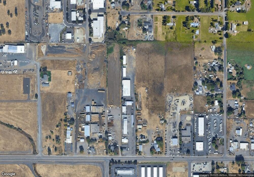
Map
Nearby Homes
- 4824 Airway Dr Unit 371W06BB410
- 1151 Helicopter Way
- 1141 Helicopter Way
- 1250 Vilas Rd
- 225 Wilson Rd
- 4595 Table Rock Rd
- 5011 Highway 62
- 4399 Table Rock Rd
- 2460 Jeremy St
- 875 N Mountain Ave
- 2335 New Haven Dr
- 2311 Lara Ln
- 4404 Biddle Rd
- 201 Orchardview Cir
- 4251 Table Rock Rd
- 1617 Tennessee Ln
- 446 Beebe Rd
- 368 Live Oak Loop
- 4105 Table Rock Rd
- 4601 Biddle Rd Unit C
- 521 E Vilas Rd
- 501 E Vilas Rd
- 437 E Vilas Rd
- 0 Rainbow Tl2803 Tl2805 Dr Unit 102951954
- 605 E Vilas Rd
- 431 E Vilas Rd
- 0 Rainbow Tl2804 Dr Unit 102951953
- 575 Maverick St
- 5301 Bierson Way Unit Lot 8
- 5301 Bierson Way
- 625 Maverick St
- 427 E Vilas Rd
- 5170 Rainbow Dr
- 540 E Vilas Rd
- 695 E Vilas Rd
- 695 E Vilas Rd Unit 102
- 5321 Bierson Way
- 5222 Rainbow Dr
- 5222 Rainbow Dr
- 5157 Peace Ln
Your Personal Tour Guide
Ask me questions while you tour the home.