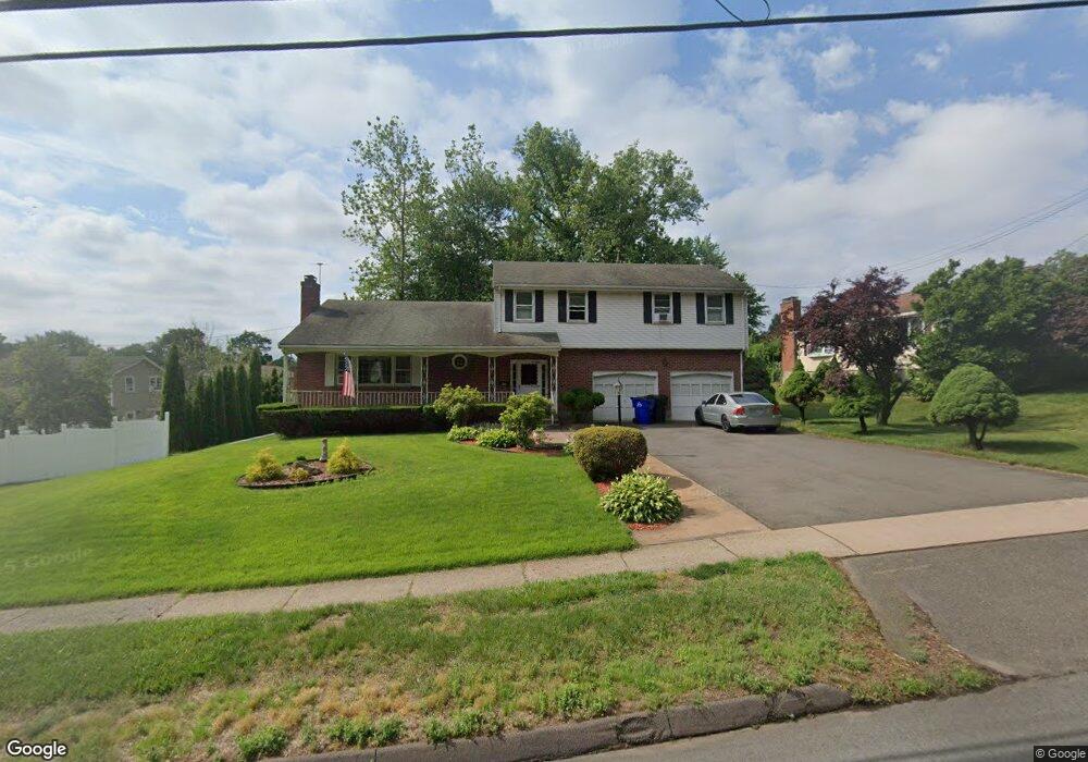
549 Jordan Ln Wethersfield, CT 06109
Estimated Value: $405,000 - $462,000
4
Beds
3
Baths
1,906
Sq Ft
$227/Sq Ft
Est. Value
About This Home
This home is located at 549 Jordan Ln, Wethersfield, CT 06109 and is currently estimated at $431,724, approximately $226 per square foot. 549 Jordan Ln is a home located in Hartford County with nearby schools including Emerson-Williams School, Silas Deane Middle School, and Wethersfield High School.
Ownership History
Date
Name
Owned For
Owner Type
Purchase Details
Closed on
Oct 22, 1999
Sold by
Abbruzzese Michael
Bought by
Sollima Robert A and Sollima Amelia
Current Estimated Value
Home Financials for this Owner
Home Financials are based on the most recent Mortgage that was taken out on this home.
Original Mortgage
$85,000
Interest Rate
7.83%
Create a Home Valuation Report for This Property
The Home Valuation Report is an in-depth analysis detailing your home's value as well as a comparison with similar homes in the area
Home Values in the Area
Average Home Value in this Area
Purchase History
| Date | Buyer | Sale Price | Title Company |
|---|---|---|---|
| Sollima Robert A | $132,000 | -- |
Source: Public Records
Mortgage History
| Date | Status | Borrower | Loan Amount |
|---|---|---|---|
| Open | Sollima Robert A | $85,535 | |
| Closed | Sollima Robert A | $103,990 | |
| Closed | Sollima Robert A | $85,000 | |
| Previous Owner | Sollima Robert A | $123,000 |
Source: Public Records
Tax History
| Year | Tax Paid | Tax Assessment Tax Assessment Total Assessment is a certain percentage of the fair market value that is determined by local assessors to be the total taxable value of land and additions on the property. | Land | Improvement |
|---|---|---|---|---|
| 2025 | $9,913 | $240,500 | $67,120 | $173,380 |
| 2024 | $6,133 | $141,910 | $30,100 | $111,810 |
| 2023 | $5,929 | $141,910 | $30,100 | $111,810 |
| 2022 | $5,830 | $141,910 | $30,100 | $111,810 |
| 2021 | $5,771 | $141,910 | $30,100 | $111,810 |
| 2020 | $5,774 | $141,910 | $30,100 | $111,810 |
| 2019 | $5,781 | $141,910 | $30,100 | $111,810 |
| 2018 | $5,807 | $142,400 | $29,200 | $113,200 |
| 2017 | $5,663 | $142,400 | $29,200 | $113,200 |
| 2016 | $5,488 | $142,400 | $29,200 | $113,200 |
| 2015 | $5,438 | $142,400 | $29,200 | $113,200 |
| 2014 | $5,232 | $142,400 | $29,200 | $113,200 |
Source: Public Records
Map
Nearby Homes
- 1310 Berlin Turnpike Unit 223
- 19 Albert Ave
- 97 Brussels Ave
- 12 Bates Place
- 90 Goodwin Park Rd
- 72 Concord Cir
- 168 Hubbard Rd
- 43 Yale St
- 208 Mountain St
- 70 Stillman Rd
- 219 Jordan Ln Unit 221
- 62 Freeman St
- 173 Timber Trail
- 95 Harvard St
- 60 Hubbard Rd
- 299 Linnmoore St
- 273 Forest Dr
- 704 Franklin Ave
- 80 Cowles St
- 240 South St Unit 242
- 557 Jordan Ln
- 541 Jordan Ln
- 11 Ridge Crest Cir
- 565 Jordan Ln
- 19 Ridge Crest Cir
- 573 Jordan Ln
- 27 Ridge Crest Cir
- 8 Ridge Crest Cir
- 8 Ridge Crest Cir Unit 8
- 525 Jordan Ln
- 16 Ridge Crest Cir
- 237 Ridge Crest Cir
- 35 Ridge Crest Cir
- 521 Jordan Ln Unit 523
- 236 Ridge Crest Cir
- 32 Ridge Crest Cir
- 15 Goodwin Ave
- 43 Ridge Crest Cir
- 19 Goodwin Ave
- 225 Ridge Crest Cir
Your Personal Tour Guide
Ask me questions while you tour the home.