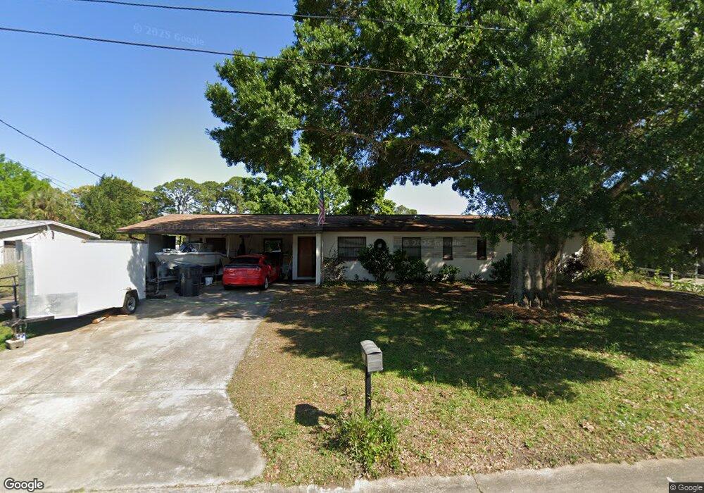
549 Mendel Ln Titusville, FL 32796
Estimated Value: $180,959 - $246,000
3
Beds
2
Baths
1,198
Sq Ft
$179/Sq Ft
Est. Value
About This Home
This home is located at 549 Mendel Ln, Titusville, FL 32796 and is currently estimated at $214,490, approximately $179 per square foot. 549 Mendel Ln is a home located in Brevard County with nearby schools including Mims Elementary School, James Madison Middle School, and Astronaut High School.
Ownership History
Date
Name
Owned For
Owner Type
Purchase Details
Closed on
Jun 6, 2006
Sold by
Folger Richard and Folger Gail
Bought by
Folger Richard J and Folger Gail P
Current Estimated Value
Purchase Details
Closed on
Jan 7, 2002
Sold by
Monk Opal Lee
Bought by
Forte Ronald J and Hausmann Jeanne M
Purchase Details
Closed on
Jul 7, 1995
Sold by
Zacharias Demetrious A and Zacharias Opal L
Bought by
Zacharias Opal L
Purchase Details
Closed on
May 31, 1995
Sold by
Monk Opal Lee and Zacharias Opal L
Bought by
Monk Opal Lee
Create a Home Valuation Report for This Property
The Home Valuation Report is an in-depth analysis detailing your home's value as well as a comparison with similar homes in the area
Home Values in the Area
Average Home Value in this Area
Purchase History
| Date | Buyer | Sale Price | Title Company |
|---|---|---|---|
| Folger Richard J | -- | Attorney | |
| Forte Ronald J | $55,000 | -- | |
| Zacharias Opal L | -- | -- | |
| Monk Opal Lee | -- | -- | |
| Monk Opal Lee | -- | -- |
Source: Public Records
Tax History Compared to Growth
Tax History
| Year | Tax Paid | Tax Assessment Tax Assessment Total Assessment is a certain percentage of the fair market value that is determined by local assessors to be the total taxable value of land and additions on the property. | Land | Improvement |
|---|---|---|---|---|
| 2025 | $2,022 | $123,680 | -- | -- |
| 2024 | $2,090 | $111,910 | -- | -- |
| 2023 | $2,090 | $134,940 | $0 | $0 |
| 2022 | $1,791 | $114,290 | $0 | $0 |
| 2021 | $1,622 | $84,040 | $40,000 | $44,040 |
| 2020 | $1,518 | $77,390 | $30,000 | $47,390 |
| 2019 | $1,444 | $68,610 | $24,000 | $44,610 |
| 2018 | $1,351 | $60,450 | $15,500 | $44,950 |
| 2017 | $1,236 | $50,730 | $15,500 | $35,230 |
| 2016 | $1,112 | $47,830 | $15,500 | $32,330 |
| 2015 | $1,064 | $43,720 | $15,500 | $28,220 |
| 2014 | $975 | $39,750 | $15,500 | $24,250 |
Source: Public Records
Map
Nearby Homes
- 2015 Malinda Ln
- 610 East Ct
- 614 West Ct
- 424 Lenore Ave
- 502 Vaughn St
- 2135 Mayfair Way Unit Lot 71
- 2135 Mayfair Way Unit 84
- 2135 Mayfair Way Unit 98
- 7.26 Route 1
- 0000 Buffalo Rd
- 1636 Violet Ave
- 671 N Dixie Ave Unit 18A
- 870 Century Medical Dr
- 1615 Violet Ave
- Tbd N Washington Ave
- 1539 Violet Ave
- 0000 Unknown N Park Ave
- 105 McNeela Dr Unit 105
- 1115 Jones St
- 970 Carolina Cir
- 541 Mendel Ln
- 555 Mendel Ln
- 526 Lincoln Ave
- 520 Lincoln Ave
- 550 Mendel Ln
- 537 Mendel Ln
- 542 Mendel Ln
- 570 Lincoln Ave
- 536 Mendel Ln
- 531 Mendel Ln
- 1820 Malinda Ln
- 1902 Malinda Ln
- 545 Carrie Hill Rd
- 1814 Malinda Ln
- 506 Lincoln Ave
- 530 Mendel Ln
- 565 Lincoln Ave
- 1908 Malinda Ln
- 525 Lincoln Ave
- 525 Mendel Ln