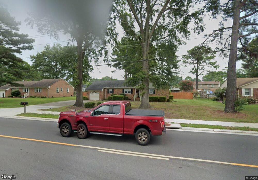
549 Mt Pleasant Rd Chesapeake, VA 23322
Pleasant Grove West NeighborhoodEstimated Value: $411,512 - $440,000
4
Beds
2
Baths
1,772
Sq Ft
$239/Sq Ft
Est. Value
About This Home
This home is located at 549 Mt Pleasant Rd, Chesapeake, VA 23322 and is currently estimated at $424,378, approximately $239 per square foot. 549 Mt Pleasant Rd is a home located in Chesapeake City with nearby schools including Butts Road Primary School, Butts Road Intermediate School, and Great Bridge Middle School.
Ownership History
Date
Name
Owned For
Owner Type
Purchase Details
Closed on
Jul 19, 2021
Sold by
Stephen Cox and Anne Cox Stephanie
Bought by
Byrnes Jeremy
Current Estimated Value
Home Financials for this Owner
Home Financials are based on the most recent Mortgage that was taken out on this home.
Original Mortgage
$313,405
Outstanding Balance
$281,549
Interest Rate
2.96%
Mortgage Type
New Conventional
Estimated Equity
$142,829
Create a Home Valuation Report for This Property
The Home Valuation Report is an in-depth analysis detailing your home's value as well as a comparison with similar homes in the area
Home Values in the Area
Average Home Value in this Area
Purchase History
| Date | Buyer | Sale Price | Title Company |
|---|---|---|---|
| Byrnes Jeremy | $329,900 | Stewart Title Company | |
| Byrnes Jeremy | $329,900 | Stewart Title Company |
Source: Public Records
Mortgage History
| Date | Status | Borrower | Loan Amount |
|---|---|---|---|
| Open | Byrnes Jeremy | $313,405 |
Source: Public Records
Tax History
| Year | Tax Paid | Tax Assessment Tax Assessment Total Assessment is a certain percentage of the fair market value that is determined by local assessors to be the total taxable value of land and additions on the property. | Land | Improvement |
|---|---|---|---|---|
| 2025 | $3,570 | $372,100 | $170,000 | $202,100 |
| 2024 | $3,570 | $353,500 | $170,000 | $183,500 |
| 2023 | $2,948 | $332,800 | $160,000 | $172,800 |
| 2022 | $2,916 | $288,700 | $128,300 | $160,400 |
| 2021 | $2,600 | $247,600 | $110,000 | $137,600 |
| 2020 | $2,489 | $237,000 | $105,000 | $132,000 |
| 2019 | $2,489 | $237,000 | $105,000 | $132,000 |
| 2018 | $2,545 | $242,400 | $105,000 | $137,400 |
| 2017 | $2,607 | $248,300 | $114,000 | $134,300 |
| 2016 | $2,507 | $238,800 | $104,500 | $134,300 |
| 2015 | $2,477 | $235,900 | $95,000 | $140,900 |
| 2014 | $2,477 | $235,900 | $95,000 | $140,900 |
Source: Public Records
Map
Nearby Homes
- 524 Summit Ridge Dr
- 541 Long Ave
- 400 Beauregard Dr
- 412 Warhawks Rd
- 660 Etheridge Rd
- 805 Poplar Ridge Dr
- 700 Lindenbrook Ln
- 270 Carawan Ln
- 804 Sugar Maple Ln
- 627 Luray Terrace
- 343 Ewell Ln
- 201 Arch Rd
- 1000 Joan Ct
- 648 Rutherford Dr
- 909 Douglas Eley Ln
- 911 Mount Pleasant Rd
- 441 Chandler Dr
- 712 Jubilee Ct
- 605 Resh Ct
- 415 S Hill Ln
- 549 Mount Pleasant Rd
- 553 Mount Pleasant Rd
- 553 Mt Pleasant Rd
- 545 Mount Pleasant Rd
- 545 Mt Pleasant Rd
- 405 Bridgefield Blvd
- 509 Westfield Ct
- 557 Mount Pleasant Rd
- 557 Mt Pleasant Rd
- 532 Mt Pleasant Rd
- 538 Mt Pleasant Rd
- 538 Mount Pleasant Rd
- 528 Mount Pleasant Rd
- 528 Mt Pleasant Rd
- 411 Bridgefield Blvd
- 505 Westfield Ct
- 504 Westfield Ct
- 540 Mount Pleasant Rd
- 540 Mt Pleasant Rd
- 529 Mt Pleasant Rd
Your Personal Tour Guide
Ask me questions while you tour the home.