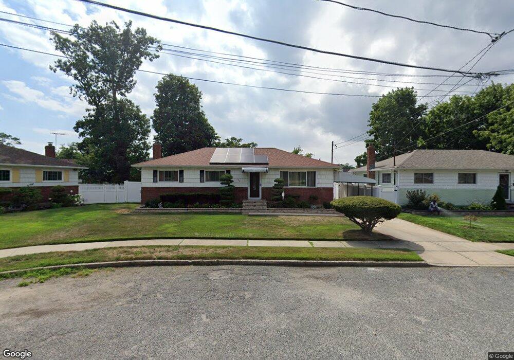
549 Pinebrook Ct West Hempstead, NY 11552
Estimated Value: $607,000 - $658,888
3
Beds
2
Baths
1,125
Sq Ft
$563/Sq Ft
Est. Value
About This Home
This home is located at 549 Pinebrook Ct, West Hempstead, NY 11552 and is currently estimated at $632,944, approximately $562 per square foot. 549 Pinebrook Ct is a home located in Nassau County with nearby schools including Davison Avenue Intermediate School, Maurice W. Downing Primary K-2 School, and Howard T Herber Middle School.
Ownership History
Date
Name
Owned For
Owner Type
Purchase Details
Closed on
May 1, 2017
Sold by
Birthwright Leonard A and Birthwright Elaine A
Bought by
Severe Edgar
Current Estimated Value
Home Financials for this Owner
Home Financials are based on the most recent Mortgage that was taken out on this home.
Original Mortgage
$303,750
Outstanding Balance
$252,882
Interest Rate
4.14%
Mortgage Type
VA
Estimated Equity
$380,062
Create a Home Valuation Report for This Property
The Home Valuation Report is an in-depth analysis detailing your home's value as well as a comparison with similar homes in the area
Home Values in the Area
Average Home Value in this Area
Purchase History
| Date | Buyer | Sale Price | Title Company |
|---|---|---|---|
| Severe Edgar | $375,000 | The Judicial Title Insurance |
Source: Public Records
Mortgage History
| Date | Status | Borrower | Loan Amount |
|---|---|---|---|
| Open | Severe Edgar | $303,750 |
Source: Public Records
Tax History
| Year | Tax Paid | Tax Assessment Tax Assessment Total Assessment is a certain percentage of the fair market value that is determined by local assessors to be the total taxable value of land and additions on the property. | Land | Improvement |
|---|---|---|---|---|
| 2025 | $11,565 | $416 | $169 | $247 |
| 2024 | $3,944 | $416 | $169 | $247 |
Source: Public Records
Map
Nearby Homes
- 1090 Pinebrook Ct
- 1095 Pinebrook Ct
- 7 Hopatcong Ave
- 461 Pinebrook Ave
- 362 Langdon Blvd
- 480 Hopatcong Ave
- 529 Clinton Ave
- 1024 Mahopac Rd
- 486 Champlain Ave
- 501 Lafayette Ave
- 945 Derrick Adkins Ln
- 492 Pershing Blvd
- 485 Barbara Ln
- 402 Clinton Ave
- 44 School St
- 31 Alden Ct
- 18 School St
- 89 Linmouth Rd
- 30 York St
- 35 Park Blvd
- 555 Pinebrook Ct
- 545 Pinebrook Ct
- 14 Lehman Rd
- 16 Lehman Rd
- 12 Lehman Rd
- 541 Pinebrook Ct
- 559 Pinebrook Ct
- 1098 Lehman Rd
- 544 Coolidge Ave
- 20 Lehman Rd
- 540 Pinebrook Ct
- 540 Coolidge Ave
- 550 Pinebrook Ct
- 1092 Lehman Rd
- 535 Pinebrook Ct
- 534 Coolidge Ave
- 99 Cedar Rd
- 530 Coolidge Ave
- 565 Pinebrook Ave
- 530 Pinebrook Ct
Your Personal Tour Guide
Ask me questions while you tour the home.