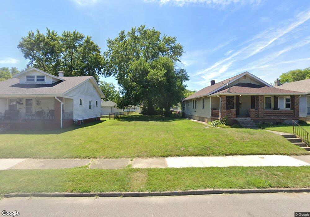
549 Shoop Ave Dayton, OH 45402
Westwood NeighborhoodEstimated Value: $75,602
Studio
1
Bath
--
Sq Ft
5,097
Sq Ft Lot
About This Home
This home is located at 549 Shoop Ave, Dayton, OH 45402 and is currently estimated at $75,602. 549 Shoop Ave is a home located in Montgomery County with nearby schools including International School at Residence Park, Westwood Elementary, and Louise Troy Elementary.
Ownership History
Date
Name
Owned For
Owner Type
Purchase Details
Closed on
Jan 27, 1999
Sold by
Dixon Walter and Gowdy Mary E
Bought by
Davidson Ed T
Current Estimated Value
Purchase Details
Closed on
Sep 8, 1998
Sold by
Theoatis Williams
Bought by
Bank Of America Illinois
Purchase Details
Closed on
Aug 11, 1998
Sold by
Theoatis Williams
Bought by
Bank Of America Illinois
Create a Home Valuation Report for This Property
The Home Valuation Report is an in-depth analysis detailing your home's value as well as a comparison with similar homes in the area
Home Values in the Area
Average Home Value in this Area
Purchase History
| Date | Buyer | Sale Price | Title Company |
|---|---|---|---|
| Davidson Ed T | $32,000 | -- | |
| Dixon Walter | $17,900 | -- | |
| Bank Of America Illinois | $18,000 | -- | |
| Bank Of America Illinois | $18,000 | -- | |
| Bank Of America Illinois | $18,000 | -- |
Source: Public Records
Tax History
| Year | Tax Paid | Tax Assessment Tax Assessment Total Assessment is a certain percentage of the fair market value that is determined by local assessors to be the total taxable value of land and additions on the property. | Land | Improvement |
|---|---|---|---|---|
| 2025 | $61 | $1,020 | $1,020 | -- |
| 2024 | $59 | $1,020 | $1,020 | -- |
| 2023 | $59 | $1,020 | $1,020 | $0 |
| 2022 | $67 | $890 | $890 | $0 |
| 2021 | $65 | $890 | $890 | $0 |
| 2020 | $64 | $890 | $890 | $0 |
| 2019 | $82 | $890 | $890 | $0 |
| 2018 | $576 | $890 | $890 | $0 |
| 2017 | $339 | $890 | $890 | $0 |
| 2016 | $5,047 | $890 | $890 | $0 |
| 2015 | $673 | $890 | $890 | $0 |
| 2014 | $673 | $4,330 | $1,770 | $2,560 |
| 2012 | -- | $8,510 | $2,870 | $5,640 |
Source: Public Records
Map
Nearby Homes
- 537 Shoop Ave
- 2929 Hoover Ave
- 636 Westwood Ave
- 620 Shoop Ave
- 2712 Hoover Ave
- 24 Edith St
- 539 Evergreen Ave
- 559 Evergreen Ave
- 552 Evergreen Ave
- 2515 Hoover Ave
- 924 Kammer Ave
- 621 Kammer Ave
- 925 Maplehurst Ave
- 921 Westwood Ave
- 728 Leland Ave
- 733 Leland Ave
- 2310 Oakridge Dr
- 352 Huron Ave
- 1042 Shakespeare Ave
- 2425 W Riverview Ave
Your Personal Tour Guide
Ask me questions while you tour the home.