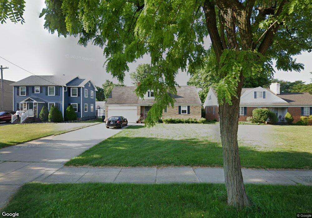
5490 Mayfield Rd Cleveland, OH 44124
Estimated Value: $175,000 - $207,978
2
Beds
1
Bath
1,164
Sq Ft
$162/Sq Ft
Est. Value
About This Home
This home is located at 5490 Mayfield Rd, Cleveland, OH 44124 and is currently estimated at $187,995, approximately $161 per square foot. 5490 Mayfield Rd is a home located in Cuyahoga County with nearby schools including Sunview Elementary School, Greenview Upper Elementary School, and Memorial Junior High School.
Ownership History
Date
Name
Owned For
Owner Type
Purchase Details
Closed on
Mar 3, 2025
Sold by
Carney Patrick J
Bought by
Kander Megan and Kander Edward
Current Estimated Value
Purchase Details
Closed on
Aug 25, 1989
Sold by
Frame Eva A
Bought by
Carney John P
Purchase Details
Closed on
Oct 2, 1981
Sold by
Roger W Scharlau
Bought by
Frame Eva A
Purchase Details
Closed on
Jun 18, 1981
Sold by
Scharlau Nan R
Bought by
Roger W Scharlau
Purchase Details
Closed on
Jan 1, 1975
Bought by
Scharlau Nan R
Create a Home Valuation Report for This Property
The Home Valuation Report is an in-depth analysis detailing your home's value as well as a comparison with similar homes in the area
Home Values in the Area
Average Home Value in this Area
Purchase History
| Date | Buyer | Sale Price | Title Company |
|---|---|---|---|
| Kander Megan | $171,400 | None Listed On Document | |
| Carney John P | $105,000 | -- | |
| Frame Eva A | $74,000 | -- | |
| Roger W Scharlau | -- | -- | |
| Scharlau Nan R | -- | -- |
Source: Public Records
Tax History Compared to Growth
Tax History
| Year | Tax Paid | Tax Assessment Tax Assessment Total Assessment is a certain percentage of the fair market value that is determined by local assessors to be the total taxable value of land and additions on the property. | Land | Improvement |
|---|---|---|---|---|
| 2024 | $4,300 | $59,990 | $9,415 | $50,575 |
| 2023 | $4,583 | $43,750 | $8,470 | $35,280 |
| 2022 | $3,875 | $43,750 | $8,470 | $35,280 |
| 2021 | $3,844 | $43,750 | $8,470 | $35,280 |
| 2020 | $3,603 | $35,840 | $6,930 | $28,910 |
| 2019 | $3,256 | $102,400 | $19,800 | $82,600 |
| 2018 | $3,240 | $35,840 | $6,930 | $28,910 |
| 2017 | $3,881 | $39,770 | $6,480 | $33,290 |
| 2016 | $3,852 | $39,770 | $6,480 | $33,290 |
| 2015 | $4,029 | $39,770 | $6,480 | $33,290 |
| 2014 | $4,029 | $40,570 | $6,620 | $33,950 |
Source: Public Records
Map
Nearby Homes
- 1443 Churchill Rd
- 1548 Biltmore Rd
- 1433 Churchill Rd
- 1368 Irene Rd
- 1307 Ford Rd
- 1291 Haverston Rd
- 1284 Haverston Rd
- 5243 Oakmont Dr
- 1391 Iroquois Ave
- 1192 Blanchester Rd
- 5204 Haverford Dr
- 1590 Longwood Dr
- 5688 Shawnee Dr
- 5227 E Farnhurst Rd
- 1574 Hawthorne Dr
- 5159 Haverford Dr
- 1775 Brainard Rd
- 5144 Oakmont Dr
- 5268 Edenhurst Rd
- 1151 Brainard Rd
- 5492 Mayfield Rd
- 5488 Mayfield Rd
- 1495 Sunview Rd
- 1499 Sunview Rd
- 1505 Sunview Rd
- 1488 Sunview Rd
- 1492 Sunview Rd
- 5487 Mayfield Rd
- 5495 Mayfield Rd
- 1500 Sunview Rd
- 5507 Mayfield Rd
- 1504 Sunview Rd
- 1515 Sunview Rd
- 5515 Mayfield Rd
- 1512 Sunview Rd
- 5521 Mayfield Rd
- 1516 Sunview Rd
- 1519 Sunview Rd
- 1435 Haverston Rd
- 1431 Haverston Rd