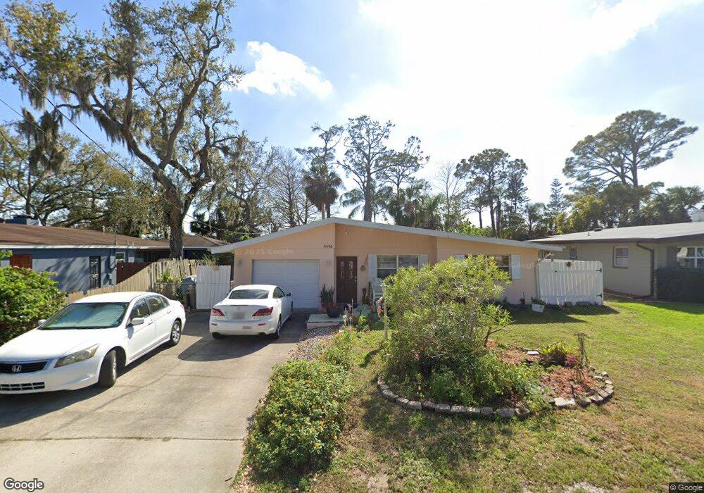
5490 W Bayshore Dr Port Orange, FL 32127
Harbor Oaks NeighborhoodEstimated Value: $239,000 - $254,000
3
Beds
2
Baths
1,046
Sq Ft
$235/Sq Ft
Est. Value
About This Home
This home is located at 5490 W Bayshore Dr, Port Orange, FL 32127 and is currently estimated at $245,890, approximately $235 per square foot. 5490 W Bayshore Dr is a home located in Volusia County with nearby schools including Port Orange Elementary School, Silver Sands Middle School, and Spruce Creek High School.
Ownership History
Date
Name
Owned For
Owner Type
Purchase Details
Closed on
Oct 9, 2019
Sold by
Coley Jeanine
Bought by
Huff Clint Andrew
Current Estimated Value
Purchase Details
Closed on
Aug 27, 2004
Sold by
Slemp Larry B and Slemp Laura Leclair
Bought by
Coley Henri and Coley Jeanine
Home Financials for this Owner
Home Financials are based on the most recent Mortgage that was taken out on this home.
Original Mortgage
$60,100
Interest Rate
6.01%
Mortgage Type
New Conventional
Purchase Details
Closed on
Feb 15, 1992
Bought by
Coley Henri and Coley Jeanine
Purchase Details
Closed on
Oct 15, 1991
Bought by
Coley Henri and Coley Jeanine
Purchase Details
Closed on
Aug 15, 1986
Bought by
Coley Henri and Coley Jeanine
Purchase Details
Closed on
May 15, 1970
Bought by
Coley Henri and Coley Jeanine
Create a Home Valuation Report for This Property
The Home Valuation Report is an in-depth analysis detailing your home's value as well as a comparison with similar homes in the area
Home Values in the Area
Average Home Value in this Area
Purchase History
| Date | Buyer | Sale Price | Title Company |
|---|---|---|---|
| Huff Clint Andrew | -- | Attorney | |
| Coley Henri | $125,000 | Southern Title Hldg Co Llc | |
| Coley Henri | $100 | -- | |
| Coley Henri | $100 | -- | |
| Coley Henri | $53,000 | -- | |
| Coley Henri | $17,000 | -- |
Source: Public Records
Mortgage History
| Date | Status | Borrower | Loan Amount |
|---|---|---|---|
| Previous Owner | Coley Henri | $60,100 |
Source: Public Records
Tax History Compared to Growth
Tax History
| Year | Tax Paid | Tax Assessment Tax Assessment Total Assessment is a certain percentage of the fair market value that is determined by local assessors to be the total taxable value of land and additions on the property. | Land | Improvement |
|---|---|---|---|---|
| 2025 | $377 | $76,279 | -- | -- |
| 2024 | $377 | $74,130 | -- | -- |
| 2023 | $377 | $71,971 | $0 | $0 |
| 2022 | $385 | $69,875 | $0 | $0 |
| 2021 | $390 | $67,840 | $0 | $0 |
| 2020 | $668 | $66,903 | $0 | $0 |
| 2019 | $376 | $65,399 | $0 | $0 |
| 2018 | $673 | $64,180 | $0 | $0 |
| 2017 | $682 | $62,860 | $0 | $0 |
| 2016 | $681 | $61,567 | $0 | $0 |
| 2015 | $701 | $61,139 | $0 | $0 |
| 2014 | $706 | $60,654 | $0 | $0 |
Source: Public Records
Map
Nearby Homes
- 720 Palm Circle Dr
- 720 Palm Cir Dr
- 411 Acacia Cir
- 5476 W Bayshore Dr
- 418 Acacia Cir
- 5650 Palm Ave
- 5585 Lancewood Cir S Unit S
- 5585 Lancewood Cir S
- 5561 Magnolia Ave
- 5563 W Magnolia Ave
- 276 Farmbrook Rd
- 5697 Christiancy Ave
- 5508 Lancewood Cir N
- 88 E Bayshore Dr
- 24 Oak St
- 5478 Landis Ave
- 18 E Magnolia Ave
- 5200 S Nova Rd Unit 202
- 5200 S Nova Rd Unit 131
- 5200 S Nova Rd Unit 82
- 5488 W Bayshore Dr
- 5492 W Bayshore Dr
- 715 Palm Circle Dr
- 5486 W Bayshore Dr
- 717 Palm Circle Dr
- 711 Palm Circle Dr
- 327 Acacia Dr
- 5483 W Bayshore Dr
- 5481 W Bayshore Dr
- 403 Acacia Dr
- 5485 W Bayshore Dr
- 719 Palm Circle Dr
- 405 Acacia Dr
- 428 Cactus St
- 721 Palm Circle Dr
- 718 Palm Circle Dr
- 321 Acacia Dr
- 5500 W Bayshore Dr
- 426 Cactus St
- 319 Acacia Dr