54945 210th Ln Mankato, MN 56001
Estimated Value: $773,073
--
Bed
--
Bath
9,840
Sq Ft
$79/Sq Ft
Est. Value
About This Home
This home is located at 54945 210th Ln, Mankato, MN 56001 and is currently estimated at $773,073, approximately $78 per square foot. 54945 210th Ln is a home located in Blue Earth County with nearby schools including Roosevelt Elementary School, Dakota Meadows Middle School, and Mankato West Senior High School.
Ownership History
Date
Name
Owned For
Owner Type
Purchase Details
Closed on
Aug 10, 2022
Sold by
Pietsch Companies Llc
Bought by
Gateway Property Group Llc
Current Estimated Value
Purchase Details
Closed on
Jul 5, 2018
Sold by
Pietch Properties Llc
Bought by
Pietch 54945 Llc
Purchase Details
Closed on
Oct 3, 2017
Sold by
Ciclewood Enterprises Llc
Bought by
Pietsch Propertises Llc
Home Financials for this Owner
Home Financials are based on the most recent Mortgage that was taken out on this home.
Original Mortgage
$262,500
Interest Rate
3.83%
Mortgage Type
New Conventional
Create a Home Valuation Report for This Property
The Home Valuation Report is an in-depth analysis detailing your home's value as well as a comparison with similar homes in the area
Home Values in the Area
Average Home Value in this Area
Purchase History
| Date | Buyer | Sale Price | Title Company |
|---|---|---|---|
| Gateway Property Group Llc | $722,700 | -- | |
| Pietch 54945 Llc | -- | None Available | |
| Pietsch Propertises Llc | $350,000 | North American Title |
Source: Public Records
Mortgage History
| Date | Status | Borrower | Loan Amount |
|---|---|---|---|
| Previous Owner | Pietsch Propertises Llc | $262,500 |
Source: Public Records
Tax History Compared to Growth
Tax History
| Year | Tax Paid | Tax Assessment Tax Assessment Total Assessment is a certain percentage of the fair market value that is determined by local assessors to be the total taxable value of land and additions on the property. | Land | Improvement |
|---|---|---|---|---|
| 2025 | $16,180 | $628,400 | $80,400 | $548,000 |
| 2024 | $16,180 | $628,400 | $80,400 | $548,000 |
| 2023 | $10,082 | $507,600 | $80,400 | $427,200 |
| 2022 | $10,788 | $437,700 | $80,400 | $357,300 |
| 2021 | $10,278 | $412,500 | $80,400 | $332,100 |
| 2020 | $10,376 | $396,800 | $80,400 | $316,400 |
| 2019 | $9,666 | $396,800 | $80,400 | $316,400 |
| 2018 | $9,310 | $396,800 | $80,400 | $316,400 |
| 2017 | $9,808 | $396,800 | $80,400 | $316,400 |
| 2016 | $9,222 | $396,800 | $80,400 | $316,400 |
| 2015 | $91 | $365,200 | $80,400 | $284,800 |
| 2014 | $9,420 | $365,600 | $80,400 | $285,200 |
Source: Public Records
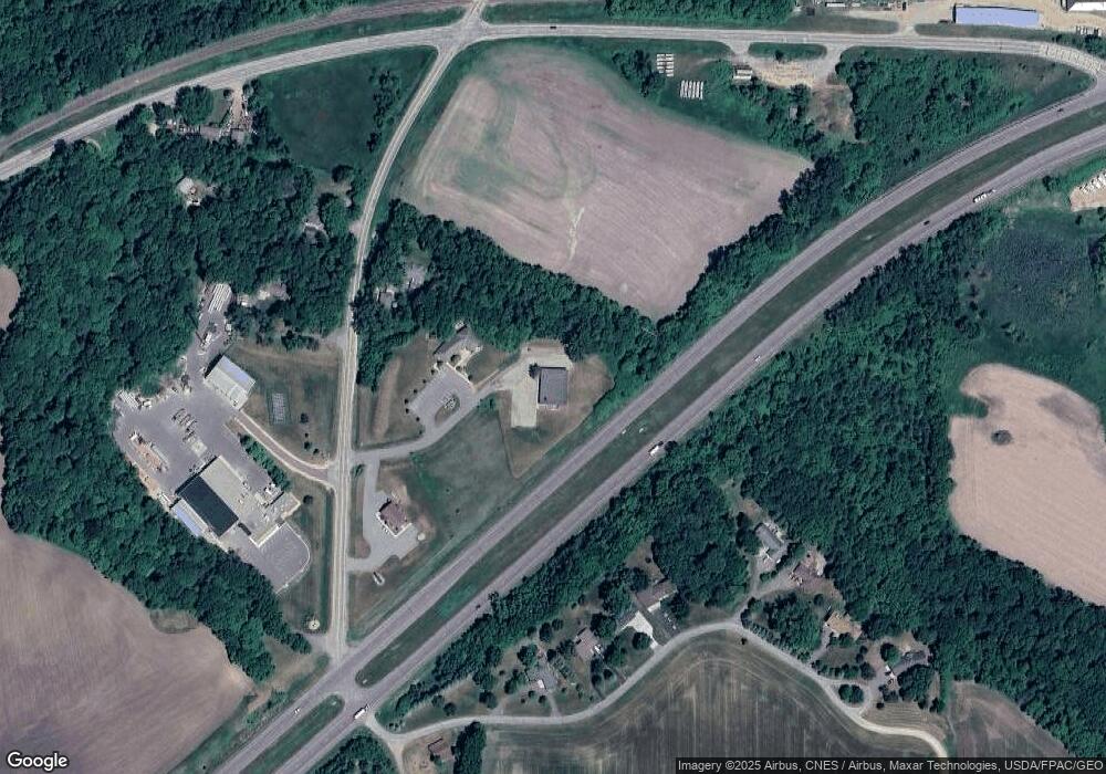
Map
Nearby Homes
- 1614 Le Sueur Ave
- 3202 3202 Noble Dr
- 3111 3111 Scotch Ln
- 419 Royal Rd
- 629 Marie Ln
- 630 Marie Ln
- 626 Marie Ln
- 17 Oriole Place
- 210 Bird St S
- 0 Tbd S 60 Hwy Unit TBD Highway 60 S
- 23 23 Holiday Ct
- 31 Holiday Ct
- 31 31 Holiday Ct
- 32 32 Edgewood Cir
- 233 Allan Ave
- 1701 Heritage Dr
- 1705 Heritage Dr
- 1700 Heritage Dr
- 1704 Heritage Dr
- 117 Marquette Ave
- 20955 549th Ave
- 55010 Sunrise Ln
- 55000 Sunrise Ln
- 55020 Sunrise Ln
- 54986 Sunrise Ln
- 21050 549th Ave
- 21022 549th Ave
- 55030 Sunrise Ln
- 55050 Sunrise Ln
- 54915 Sunrise Ln
- 54875 Gadwall Rd
- 54855 Gadwall Rd
- 55070 Sunrise Ln
- 54995 State Highway 68
- 55021 State Highway 68
- 54869 208th Ln
- 54863 208th Ln
- 55153 State Highway 68
- 1920 Grant Dr
- 1921 Grant Dr