5495 Ambrosia Ave Unit 36A Columbus, OH 43235
Misty Meadows NeighborhoodEstimated Value: $286,000 - $318,000
3
Beds
4
Baths
1,392
Sq Ft
$216/Sq Ft
Est. Value
About This Home
This home is located at 5495 Ambrosia Ave Unit 36A, Columbus, OH 43235 and is currently estimated at $300,444, approximately $215 per square foot. 5495 Ambrosia Ave Unit 36A is a home located in Franklin County with nearby schools including Daniel Wright Elementary School, Ann Simpson Davis Middle School, and Dublin Scioto High School.
Ownership History
Date
Name
Owned For
Owner Type
Purchase Details
Closed on
Aug 25, 1999
Sold by
Kevin Tumkins M
Bought by
Lancia Jeffrey P
Current Estimated Value
Purchase Details
Closed on
Apr 4, 1995
Sold by
Schmidt Ulrich A
Bought by
Tomkies M Kevin
Home Financials for this Owner
Home Financials are based on the most recent Mortgage that was taken out on this home.
Original Mortgage
$88,000
Interest Rate
8.25%
Mortgage Type
New Conventional
Purchase Details
Closed on
Dec 4, 1992
Create a Home Valuation Report for This Property
The Home Valuation Report is an in-depth analysis detailing your home's value as well as a comparison with similar homes in the area
Home Values in the Area
Average Home Value in this Area
Purchase History
| Date | Buyer | Sale Price | Title Company |
|---|---|---|---|
| Lancia Jeffrey P | $122,000 | Chicago Title | |
| Tomkies M Kevin | $110,000 | -- | |
| -- | $96,100 | -- |
Source: Public Records
Mortgage History
| Date | Status | Borrower | Loan Amount |
|---|---|---|---|
| Previous Owner | Tomkies M Kevin | $88,000 |
Source: Public Records
Tax History Compared to Growth
Tax History
| Year | Tax Paid | Tax Assessment Tax Assessment Total Assessment is a certain percentage of the fair market value that is determined by local assessors to be the total taxable value of land and additions on the property. | Land | Improvement |
|---|---|---|---|---|
| 2024 | $4,689 | $77,530 | $15,750 | $61,780 |
| 2023 | $4,623 | $77,525 | $15,750 | $61,775 |
| 2022 | $4,047 | $63,070 | $9,100 | $53,970 |
| 2021 | $4,113 | $63,070 | $9,100 | $53,970 |
| 2020 | $4,088 | $63,070 | $9,100 | $53,970 |
| 2019 | $3,552 | $48,510 | $7,000 | $41,510 |
| 2018 | $3,272 | $48,510 | $7,000 | $41,510 |
| 2017 | $3,279 | $48,510 | $7,000 | $41,510 |
| 2016 | $2,960 | $41,130 | $7,250 | $33,880 |
| 2015 | $2,978 | $41,130 | $7,250 | $33,880 |
| 2014 | $2,981 | $41,130 | $7,250 | $33,880 |
| 2013 | $1,681 | $45,675 | $8,050 | $37,625 |
Source: Public Records
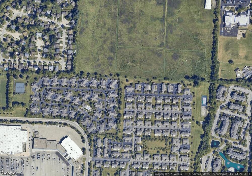
Map
Nearby Homes
- 2560 Trotterslane Dr
- 2579 Trotterslane Dr
- 2622 Trottersway Dr
- 2527 Maxim Ln Unit 40D
- 2585 Trottersway Dr Unit 2585
- 2540 Dahlia Way Unit 26D
- 5646 Dorsey Dr
- 2491 Calais Way
- 5294 Brandy Oaks Ln
- 5273 Brandy Oaks Ln
- 2229 Teardrop Ave Unit 35E
- 2260 Lila Way Unit 62D
- 5322 Darlington Rd Unit E
- 2744 Greystone Dr Unit E
- 5624 Wigmore Dr Unit 50B
- 5283 Ruthton Rd Unit 19
- 5000 Slate Run Woods Ct
- 5672 Barry Trace Unit 5672
- 5268 Captains Ct
- 5657 Barry Trace
- 5497 Ambrosia Ave
- 5497 Ambrosia Ave Unit 36B
- 5499 Ambrosia Ave
- 5501 Ambrosia Ave Unit 36D
- 5483 Ambrosia Ave Unit 35B
- 5487 Ambrosia Ave Unit 35D
- 5485 Ambrosia Ave Unit 35C
- 5481 Ambrosia Ave Unit 35A
- 2546 Maxim Ln Unit 37B
- 2542 Maxim Ln Unit 37D
- 2548 Maxim Ln Unit 37A
- 2554 Trotterslane Dr Unit 2554
- 2544 Maxim Ln Unit 37C
- 2546 Trotterslane Dr Unit 2546
- 2546 Trotterslane Dr Unit 2545
- 2556 Trotterslane Dr Unit 2556
- 2558 Trotterslane Dr
- 2547 Maxim Ln Unit 39D
- 2545 Maxim Ln
- 5467 Ambrosia Ave Unit 30B