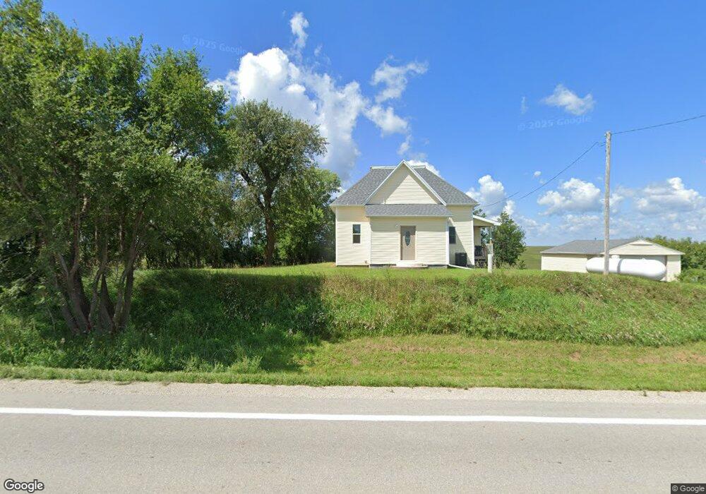
5495 Highway 224 N Kellogg, IA 50135
Estimated Value: $124,087 - $172,000
2
Beds
1
Bath
996
Sq Ft
$142/Sq Ft
Est. Value
About This Home
This home is located at 5495 Highway 224 N, Kellogg, IA 50135 and is currently estimated at $141,272, approximately $141 per square foot. 5495 Highway 224 N is a home with nearby schools including Berg Middle School and Newton Senior High School.
Ownership History
Date
Name
Owned For
Owner Type
Purchase Details
Closed on
Dec 27, 2022
Sold by
Nida Jason Mark
Bought by
Cook Christopher and Cook Elizabeth
Current Estimated Value
Home Financials for this Owner
Home Financials are based on the most recent Mortgage that was taken out on this home.
Original Mortgage
$48,800
Outstanding Balance
$43,558
Interest Rate
6.58%
Mortgage Type
Credit Line Revolving
Estimated Equity
$97,714
Purchase Details
Closed on
May 28, 2009
Sold by
Federal National Mortgage Association
Bought by
Nida Jason Mark
Create a Home Valuation Report for This Property
The Home Valuation Report is an in-depth analysis detailing your home's value as well as a comparison with similar homes in the area
Home Values in the Area
Average Home Value in this Area
Purchase History
| Date | Buyer | Sale Price | Title Company |
|---|---|---|---|
| Cook Christopher | $35,000 | -- | |
| Nida Jason Mark | -- | None Available |
Source: Public Records
Mortgage History
| Date | Status | Borrower | Loan Amount |
|---|---|---|---|
| Open | Cook Christopher | $48,800 |
Source: Public Records
Tax History Compared to Growth
Tax History
| Year | Tax Paid | Tax Assessment Tax Assessment Total Assessment is a certain percentage of the fair market value that is determined by local assessors to be the total taxable value of land and additions on the property. | Land | Improvement |
|---|---|---|---|---|
| 2025 | $1,130 | $98,790 | $44,000 | $54,790 |
| 2024 | $1,130 | $85,840 | $30,830 | $55,010 |
| 2023 | $1,092 | $85,840 | $30,830 | $55,010 |
| 2022 | $904 | $73,830 | $30,830 | $43,000 |
| 2021 | $814 | $69,740 | $30,830 | $38,910 |
| 2020 | $814 | $60,620 | $25,190 | $35,430 |
| 2019 | $782 | $55,170 | $0 | $0 |
| 2018 | $782 | $55,760 | $0 | $0 |
| 2017 | $794 | $55,760 | $0 | $0 |
| 2016 | $794 | $55,760 | $0 | $0 |
| 2015 | $770 | $53,660 | $0 | $0 |
| 2014 | $720 | $53,660 | $0 | $0 |
Source: Public Records
Map
Nearby Homes
- 5804 Highway 224 N
- TBD Northfield Ct
- 203 Northfield Dr
- 201 Northfield Dr
- TBD Northfield Dr
- 112 Northfield Dr
- 119 Northfield Dr
- 621 Water St
- 503 2nd St
- 506 Reuel Ave
- 507 Main St
- 115 Railroad St
- 1050 Rock Creek West St
- 1050 Rock Creek St W Unit Lot G
- 60 W Rock Creek West St
- 60 Rock Creek St W
- 7824 & 7812 N 67th Ave E
- 18 Fore Seasons Dr
- 5664 Island Ave
- 5 Oakridge Dr