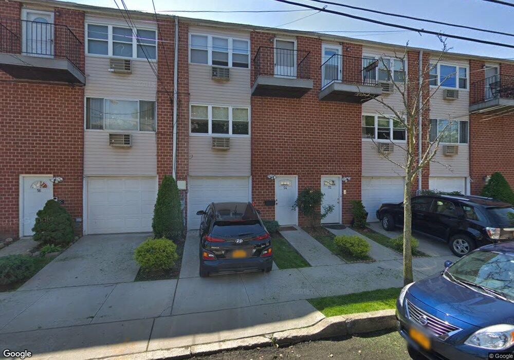
54A Francine Ct Unit 78A Staten Island, NY 10306
New Dorp NeighborhoodEstimated Value: $400,000 - $503,000
--
Bed
--
Bath
1,265
Sq Ft
$350/Sq Ft
Est. Value
About This Home
This home is located at 54A Francine Ct Unit 78A, Staten Island, NY 10306 and is currently estimated at $442,841, approximately $350 per square foot. 54A Francine Ct Unit 78A is a home located in Richmond County with nearby schools including P.S. 41 The Stephanie a Vierno School, Is 2 George L Egbert, and New Dorp High School.
Ownership History
Date
Name
Owned For
Owner Type
Purchase Details
Closed on
Oct 13, 2016
Sold by
Rice Charles R
Bought by
Baldari Julia M
Current Estimated Value
Purchase Details
Closed on
Jul 11, 2008
Sold by
Reilly Christine and Finn Shawn
Bought by
Rice Charles R
Home Financials for this Owner
Home Financials are based on the most recent Mortgage that was taken out on this home.
Original Mortgage
$230,500
Interest Rate
6.29%
Mortgage Type
Purchase Money Mortgage
Create a Home Valuation Report for This Property
The Home Valuation Report is an in-depth analysis detailing your home's value as well as a comparison with similar homes in the area
Home Values in the Area
Average Home Value in this Area
Purchase History
| Date | Buyer | Sale Price | Title Company |
|---|---|---|---|
| Baldari Julia M | -- | None Available | |
| Rice Charles R | $243,000 | None Available |
Source: Public Records
Mortgage History
| Date | Status | Borrower | Loan Amount |
|---|---|---|---|
| Previous Owner | Rice Charles R | $230,500 |
Source: Public Records
Tax History Compared to Growth
Tax History
| Year | Tax Paid | Tax Assessment Tax Assessment Total Assessment is a certain percentage of the fair market value that is determined by local assessors to be the total taxable value of land and additions on the property. | Land | Improvement |
|---|---|---|---|---|
| 2025 | $2,530 | $26,345 | $636 | $25,709 |
| 2024 | $2,530 | $23,166 | $718 | $22,448 |
| 2023 | $2,413 | $11,882 | $727 | $11,155 |
| 2022 | $2,238 | $19,214 | $1,320 | $17,894 |
| 2021 | $2,226 | $19,024 | $1,320 | $17,704 |
| 2020 | $2,239 | $20,911 | $1,320 | $19,591 |
| 2019 | $2,195 | $18,378 | $1,320 | $17,058 |
| 2018 | $2,019 | $9,902 | $850 | $9,052 |
| 2017 | $1,904 | $9,342 | $870 | $8,472 |
| 2016 | $1,762 | $8,814 | $883 | $7,931 |
| 2015 | $1,678 | $8,814 | $816 | $7,998 |
| 2014 | $1,678 | $8,746 | $974 | $7,772 |
Source: Public Records
Map
Nearby Homes
- 54 Francine Ct Unit A
- 54 Francine Ct Unit B
- 56 Francine Ct Unit B
- 52 Francine Ct Unit B
- 58 Francine Ct
- 58 Francine Ct Unit A
- 52B Francine Ct Unit 80B
- 60B Francine Ct Unit 72B
- 60A Francine Ct Unit 72A
- 50A Francine Ct Unit 82A
- 50 Francine Ct Unit A
- 50 Francine Ct Unit B
- 50 Francine Ct
- 48 Francine Ct Unit A
- 48 Francine Ct Unit B
- 62 Francine Ct Unit A
- 62 Francine Ct Unit B
- 60 Francine Ct Unit B
- 60 Francine Ct Unit 72B
- 60 Francine Ct Unit A