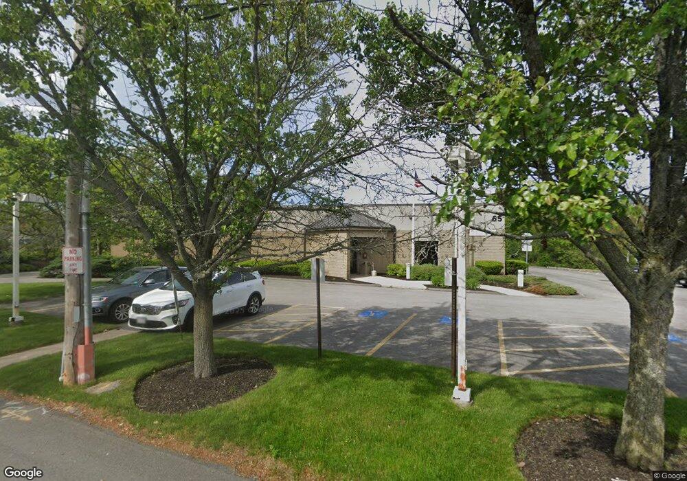
55 Allied Dr Dedham, MA 02026
Greenlodge Neighborhood
--
Bed
--
Bath
23,337
Sq Ft
2.72
Acres
About This Home
This home is located at 55 Allied Dr, Dedham, MA 02026. 55 Allied Dr is a home located in Norfolk County with nearby schools including Greenlodge Elementary School, Dedham Middle School, and Dedham High School.
Ownership History
Date
Name
Owned For
Owner Type
Purchase Details
Closed on
Mar 4, 2020
Sold by
Cp Allied Drive Llc
Bought by
Allied 55 Realty Partners
Home Financials for this Owner
Home Financials are based on the most recent Mortgage that was taken out on this home.
Original Mortgage
$4,125,000
Outstanding Balance
$3,660,172
Interest Rate
3.6%
Mortgage Type
Purchase Money Mortgage
Purchase Details
Closed on
Apr 18, 2018
Sold by
Pt Jumbo Capitl Dedham
Bought by
Cp Allied Drive Llc
Purchase Details
Closed on
Dec 19, 2013
Sold by
Can Campanelli Trigate
Bought by
Jumbo Capital Dedham P
Home Financials for this Owner
Home Financials are based on the most recent Mortgage that was taken out on this home.
Original Mortgage
$1,900,000
Interest Rate
4.15%
Mortgage Type
Commercial
Purchase Details
Closed on
Oct 8, 1991
Sold by
Bk One Rt
Bought by
Jms Rt
Create a Home Valuation Report for This Property
The Home Valuation Report is an in-depth analysis detailing your home's value as well as a comparison with similar homes in the area
Home Values in the Area
Average Home Value in this Area
Purchase History
| Date | Buyer | Sale Price | Title Company |
|---|---|---|---|
| Allied 55 Realty Partners | $5,500,000 | None Available | |
| Cp Allied Drive Llc | $3,850,000 | -- | |
| Jumbo Capital Dedham P | $3,050,000 | -- | |
| Jms Rt | $750,000 | -- |
Source: Public Records
Mortgage History
| Date | Status | Borrower | Loan Amount |
|---|---|---|---|
| Open | Allied 55 Realty Partners | $4,125,000 | |
| Previous Owner | Jumbo Capital Dedham P | $1,900,000 |
Source: Public Records
Tax History Compared to Growth
Tax History
| Year | Tax Paid | Tax Assessment Tax Assessment Total Assessment is a certain percentage of the fair market value that is determined by local assessors to be the total taxable value of land and additions on the property. | Land | Improvement |
|---|---|---|---|---|
| 2025 | $0 | $5,227,600 | $3,061,600 | $2,166,000 |
| 2024 | $0 | $4,979,300 | $2,925,300 | $2,054,000 |
| 2023 | $0 | $4,629,600 | $2,664,700 | $1,964,900 |
| 2022 | $0 | $4,407,300 | $2,494,100 | $1,913,200 |
| 2021 | $0 | $3,879,500 | $2,267,800 | $1,611,700 |
| 2020 | $86,657 | $3,019,400 | $1,571,600 | $1,447,800 |
| 2019 | $84,085 | $2,822,600 | $1,432,200 | $1,390,400 |
| 2018 | $82,271 | $2,681,600 | $1,337,300 | $1,344,300 |
| 2017 | $78,400 | $2,500,000 | $1,249,300 | $1,250,700 |
| 2016 | $89,966 | $2,724,600 | $1,137,800 | $1,586,800 |
| 2015 | $100,974 | $2,974,200 | $1,144,300 | $1,829,900 |
| 2014 | $103,264 | $2,974,200 | $1,144,300 | $1,829,900 |
Source: Public Records
Map
Nearby Homes
- 51 Hawthorn St
- 21 Birch St
- 29 S Gate St
- 989 East St Unit 107
- 989 East St Unit 403
- 16 Norwich St
- 24 Overlook Ave
- 290 East St
- 324 Central Ave
- 102 Smith Dr
- 16 Glenway St
- 88 Fox Meadow Ln
- 187 Vincent Rd
- 183 Grant Ave
- 34 Cranberry Ln
- 50 Sprague St
- 731 East St
- 886 Gay St
- 414 Cedar St
- 298 Washington St Unit 208
- 1000 Presidents Way
- 1000 Presidents Way
- 59 Willard St
- 53 Willard St
- 53 Willard St Unit 1
- 63 Willard St
- 47 Willard St
- 69 Willard St
- 60 Willard St
- 41 Willard St
- 44 Willard St
- 75 Willard St
- 1200 East St Unit 1R
- 70 Willard St
- 3 Presidents Way Unit 3
- 35 Willard St
- 80 Willard St
- 1197 East St
- 92 Willard St
- 21 Westwood Terrace