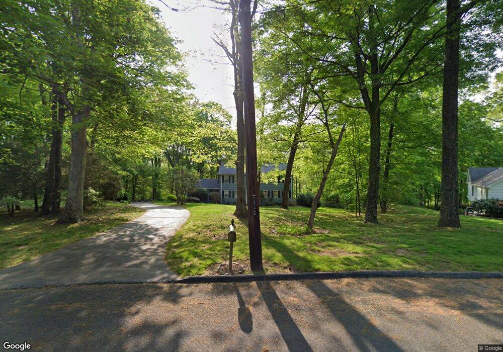
55 Asmara Way Easton, CT 06612
Estimated Value: $855,000 - $1,044,000
5
Beds
4
Baths
2,464
Sq Ft
$398/Sq Ft
Est. Value
About This Home
This home is located at 55 Asmara Way, Easton, CT 06612 and is currently estimated at $980,180, approximately $397 per square foot. 55 Asmara Way is a home located in Fairfield County with nearby schools including Samuel Staples Elementary School, Helen Keller Middle School, and Joel Barlow High School.
Ownership History
Date
Name
Owned For
Owner Type
Purchase Details
Closed on
Oct 1, 2004
Sold by
Prudential Res Svcs
Bought by
Koubeck Michael
Current Estimated Value
Purchase Details
Closed on
Nov 18, 2002
Sold by
Roysten Marjorie D
Bought by
Smith Matthew R and Smith Theresa E
Home Financials for this Owner
Home Financials are based on the most recent Mortgage that was taken out on this home.
Original Mortgage
$446,400
Interest Rate
5%
Purchase Details
Closed on
Mar 15, 1991
Sold by
Nelson Ralph D
Bought by
Greenwood Tr C T
Create a Home Valuation Report for This Property
The Home Valuation Report is an in-depth analysis detailing your home's value as well as a comparison with similar homes in the area
Home Values in the Area
Average Home Value in this Area
Purchase History
| Date | Buyer | Sale Price | Title Company |
|---|---|---|---|
| Koubeck Michael | $650,000 | -- | |
| Prudential Res Svcs | $650,000 | -- | |
| Prudential Res Svcs | $650,000 | -- | |
| Smith Matthew R | $558,000 | -- | |
| Smith Matthew R | $558,000 | -- | |
| Greenwood Tr C T | $167,500 | -- | |
| Greenwood Tr C T | $167,500 | -- |
Source: Public Records
Mortgage History
| Date | Status | Borrower | Loan Amount |
|---|---|---|---|
| Previous Owner | Greenwood Tr C T | $446,400 |
Source: Public Records
Tax History Compared to Growth
Tax History
| Year | Tax Paid | Tax Assessment Tax Assessment Total Assessment is a certain percentage of the fair market value that is determined by local assessors to be the total taxable value of land and additions on the property. | Land | Improvement |
|---|---|---|---|---|
| 2025 | $12,723 | $410,410 | $190,540 | $219,870 |
| 2024 | $12,124 | $410,410 | $190,540 | $219,870 |
| 2023 | $11,784 | $406,910 | $190,540 | $216,370 |
| 2022 | $11,573 | $406,910 | $190,540 | $216,370 |
| 2021 | $11,038 | $341,200 | $187,110 | $154,090 |
| 2020 | $10,577 | $341,200 | $187,110 | $154,090 |
| 2019 | $10,690 | $341,200 | $187,110 | $154,090 |
| 2018 | $10,707 | $341,200 | $187,110 | $154,090 |
| 2017 | $11,389 | $341,200 | $187,110 | $154,090 |
| 2016 | $10,590 | $343,710 | $190,570 | $153,140 |
| 2015 | $10,442 | $343,710 | $190,570 | $153,140 |
| 2014 | $10,277 | $343,710 | $190,570 | $153,140 |
Source: Public Records
Map
Nearby Homes
- 66 Morehouse Rd
- 301 Weeping Willow Ln
- 68 Hawthorne Dr
- 227 Autumn Ridge Rd
- 178 Autumn Ridge Rd
- 550 Rolling Hills Dr
- 159 Blue Bell Ln
- 12 Cherry Hill Rd
- 28 Primrose Ln
- 26 Wendy Rd
- 71 Schiller Rd
- 53 Eastfield Terrace
- 39 Sunset Rd
- 35 Sturbridge Rd
- 48 Sunset Rd
- 37 Lamplighter Ln
- 32 Adirondack Trail
- 43 Hall Rd
- 56 Waller Rd
- 305 Sport Hill Rd