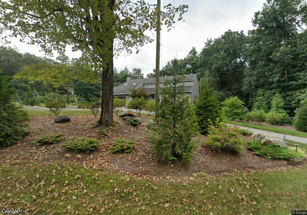
55 Baxter Rd Hollis, NH 03049
Hollis NeighborhoodEstimated Value: $845,000 - $985,000
3
Beds
3
Baths
3,402
Sq Ft
$270/Sq Ft
Est. Value
About This Home
This home is located at 55 Baxter Rd, Hollis, NH 03049 and is currently estimated at $918,060, approximately $269 per square foot. 55 Baxter Rd is a home located in Hillsborough County with nearby schools including Hollis Primary School, Hollis Upper Elementary School, and Hollis-Brookline Middle School.
Ownership History
Date
Name
Owned For
Owner Type
Purchase Details
Closed on
May 24, 2010
Sold by
Camera Jan P and Camera Darlene J
Bought by
Wu Pei Y and Wu Akiko M
Current Estimated Value
Home Financials for this Owner
Home Financials are based on the most recent Mortgage that was taken out on this home.
Original Mortgage
$368,000
Interest Rate
5.23%
Mortgage Type
Purchase Money Mortgage
Create a Home Valuation Report for This Property
The Home Valuation Report is an in-depth analysis detailing your home's value as well as a comparison with similar homes in the area
Home Values in the Area
Average Home Value in this Area
Purchase History
| Date | Buyer | Sale Price | Title Company |
|---|---|---|---|
| Wu Pei Y | $460,000 | -- |
Source: Public Records
Mortgage History
| Date | Status | Borrower | Loan Amount |
|---|---|---|---|
| Open | Wu Pei Y | $351,977 | |
| Closed | Wu Pei Y | $360,000 | |
| Closed | Wu Pei Y | $368,000 | |
| Previous Owner | Wu Pei Y | $150,000 |
Source: Public Records
Tax History Compared to Growth
Tax History
| Year | Tax Paid | Tax Assessment Tax Assessment Total Assessment is a certain percentage of the fair market value that is determined by local assessors to be the total taxable value of land and additions on the property. | Land | Improvement |
|---|---|---|---|---|
| 2024 | $12,727 | $717,800 | $256,900 | $460,900 |
| 2023 | $11,959 | $717,800 | $256,900 | $460,900 |
| 2022 | $16,201 | $717,800 | $256,900 | $460,900 |
| 2021 | $9,893 | $435,800 | $169,700 | $266,100 |
| 2020 | $10,102 | $435,800 | $169,700 | $266,100 |
| 2019 | $10,067 | $435,800 | $169,700 | $266,100 |
| 2018 | $9,444 | $435,800 | $169,700 | $266,100 |
| 2017 | $10,399 | $449,200 | $149,700 | $299,500 |
| 2016 | $10,525 | $449,200 | $149,700 | $299,500 |
| 2015 | $10,341 | $449,200 | $149,700 | $299,500 |
| 2014 | $10,388 | $449,100 | $149,600 | $299,500 |
| 2013 | $10,248 | $449,100 | $149,600 | $299,500 |
Source: Public Records
Map
Nearby Homes
- 40-40A Pine Hill Rd
- 45 Long Hill Rd
- 199 Pine Hill Rd
- 118 Broad St
- 77 Broad St
- 4-13 Woodmont Dr
- 206 S Merrimack Rd
- 10 Pilgrim Cir
- 8 Pilgrim Cir
- 3 Wood Ln
- 77 Mooar Hill Rd
- 334 Broad St
- 7 Lovejoy Ln
- 95 Wright Rd
- 22 Cathedral Cir
- 91 Deacon Ln
- 11 Rideout Rd
- 28 Bartemus Trail Unit U210
- 14 Parrish Hill Dr
- 172 Hayden Rd