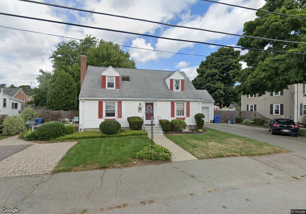
55 Bennett St Waltham, MA 02453
Bleachery NeighborhoodEstimated Value: $951,000 - $1,157,675
3
Beds
3
Baths
2,919
Sq Ft
$357/Sq Ft
Est. Value
About This Home
This home is located at 55 Bennett St, Waltham, MA 02453 and is currently estimated at $1,042,919, approximately $357 per square foot. 55 Bennett St is a home located in Middlesex County with nearby schools including James Fitzgerald Elementary School, John W. Mcdevitt Middle School, and Waltham Sr High School.
Ownership History
Date
Name
Owned For
Owner Type
Purchase Details
Closed on
Mar 17, 1989
Sold by
Parrella Donald E
Bought by
Trapani James J
Current Estimated Value
Home Financials for this Owner
Home Financials are based on the most recent Mortgage that was taken out on this home.
Original Mortgage
$167,500
Interest Rate
10.46%
Mortgage Type
Purchase Money Mortgage
Create a Home Valuation Report for This Property
The Home Valuation Report is an in-depth analysis detailing your home's value as well as a comparison with similar homes in the area
Home Values in the Area
Average Home Value in this Area
Purchase History
| Date | Buyer | Sale Price | Title Company |
|---|---|---|---|
| Trapani James J | $257,500 | -- |
Source: Public Records
Mortgage History
| Date | Status | Borrower | Loan Amount |
|---|---|---|---|
| Open | Trapani James J | $110,000 | |
| Closed | Trapani James J | $146,000 | |
| Closed | Trapani James J | $90,000 | |
| Closed | Trapani James J | $167,500 |
Source: Public Records
Tax History
| Year | Tax Paid | Tax Assessment Tax Assessment Total Assessment is a certain percentage of the fair market value that is determined by local assessors to be the total taxable value of land and additions on the property. | Land | Improvement |
|---|---|---|---|---|
| 2025 | $9,714 | $989,200 | $419,000 | $570,200 |
| 2024 | $8,997 | $933,300 | $419,000 | $514,300 |
| 2023 | $8,344 | $808,500 | $380,200 | $428,300 |
| 2022 | $8,818 | $791,600 | $380,200 | $411,400 |
| 2021 | $7,991 | $708,600 | $325,900 | $382,700 |
| 2020 | $7,791 | $652,000 | $294,900 | $357,100 |
| 2019 | $7,261 | $573,500 | $284,900 | $288,600 |
| 2018 | $6,589 | $522,500 | $263,800 | $258,700 |
| 2017 | $6,769 | $499,300 | $240,600 | $258,700 |
| 2016 | $6,016 | $491,500 | $232,800 | $258,700 |
| 2015 | $5,859 | $446,200 | $228,900 | $217,300 |
Source: Public Records
Map
Nearby Homes
- 56-58 Dix St
- 126 Bright St
- 19 School Ave Unit 2
- 136 Willow St
- 10 Naviens Ln Unit 2
- 10 Naviens Ln Unit 1
- 176 River St
- 266-274 River St
- 157 Grove St Unit 2
- 301 River St
- 28-32 Calvary St
- 20 Townsend St
- 59 Farnum Rd
- 26 Friend St
- 40 Grove St Unit 1
- 18 Cross St Unit 1
- 22 Grove St Unit 2
- 308 Newton St Unit 1
- 3 Repton Cir Unit 3210
- 1 Farwell Cir
- 55 Bennett St Unit 1
- 51 Bennett St Unit 2
- 51 Bennett St Unit 1
- 51 Bennett St
- 49 Bennett St Unit 51
- 63 Bennett St
- 47 Bennett St
- 137 Clark St
- 137 Clark St Unit 1
- 45 Bennett St Unit 47
- 145 Clark St
- 141 Clark St Unit 2
- 141 Clark St Unit 1
- 141 Clark St
- 133 Clark St
- 65 Bennett St
- 58 Bennett St Unit 60
- 58-60 Bennett St Unit 1
- 58 Bennett St Unit 1
- 54 Bennett St Unit 56
Your Personal Tour Guide
Ask me questions while you tour the home.