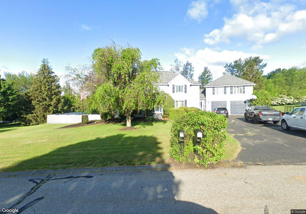
55 Betty Ann Ln Dracut, MA 01826
Estimated Value: $1,015,201 - $1,182,000
4
Beds
3
Baths
4,248
Sq Ft
$257/Sq Ft
Est. Value
About This Home
This home is located at 55 Betty Ann Ln, Dracut, MA 01826 and is currently estimated at $1,091,800, approximately $257 per square foot. 55 Betty Ann Ln is a home located in Middlesex County with nearby schools including Greenmont Avenue School, Richardson Middle School, and Dracut Senior High School.
Ownership History
Date
Name
Owned For
Owner Type
Purchase Details
Closed on
Feb 13, 2012
Sold by
Mckenna William
Bought by
Mckenna William J and Mckenna Kristyn S
Current Estimated Value
Purchase Details
Closed on
Jul 19, 2006
Sold by
Mckenna Colette M and Mckenna William J
Bought by
Mckenna William J
Purchase Details
Closed on
Aug 29, 2003
Sold by
Talty Dianne J and Talty Joseph H
Bought by
Mckenna Colette M and Mckenna William J
Purchase Details
Closed on
Sep 6, 1994
Sold by
Notini Douglas A and Notini Lisa
Bought by
Talty Joseph H and Talty Dianne
Create a Home Valuation Report for This Property
The Home Valuation Report is an in-depth analysis detailing your home's value as well as a comparison with similar homes in the area
Home Values in the Area
Average Home Value in this Area
Purchase History
| Date | Buyer | Sale Price | Title Company |
|---|---|---|---|
| Mckenna William J | -- | -- | |
| Mckenna William J | -- | -- | |
| Mckenna Colette M | $589,900 | -- | |
| Talty Joseph H | $276,500 | -- |
Source: Public Records
Mortgage History
| Date | Status | Borrower | Loan Amount |
|---|---|---|---|
| Previous Owner | Talty Joseph H | $399,375 | |
| Previous Owner | Talty Joseph H | $416,000 |
Source: Public Records
Tax History Compared to Growth
Tax History
| Year | Tax Paid | Tax Assessment Tax Assessment Total Assessment is a certain percentage of the fair market value that is determined by local assessors to be the total taxable value of land and additions on the property. | Land | Improvement |
|---|---|---|---|---|
| 2025 | $9,823 | $970,700 | $265,300 | $705,400 |
| 2024 | $9,495 | $908,600 | $252,800 | $655,800 |
| 2023 | $9,213 | $795,600 | $219,900 | $575,700 |
| 2022 | $9,204 | $748,900 | $200,000 | $548,900 |
| 2021 | $8,890 | $683,300 | $181,600 | $501,700 |
| 2020 | $3,519 | $670,400 | $176,100 | $494,300 |
| 2019 | $8,925 | $649,100 | $167,700 | $481,400 |
| 2018 | $3,207 | $635,700 | $175,000 | $460,700 |
| 2017 | $8,858 | $635,700 | $175,000 | $460,700 |
| 2016 | $8,597 | $579,300 | $168,200 | $411,100 |
| 2015 | $8,413 | $563,500 | $168,200 | $395,300 |
| 2014 | $7,794 | $537,900 | $168,200 | $369,700 |
Source: Public Records
Map
Nearby Homes
- 121 Old Marsh Hill Rd
- 167 Betty Ann Ln
- 321 Old Marsh Hill Rd
- 26 Frank St
- 67 Lincoln Ln
- 19 Esther Way Unit Lot 10
- 20 Esther Way Unit 11
- 1572 Bridge St
- 67 Foxhill Ln Unit 67
- 315 Broadway Rd Unit 7
- 241 Broadway Rd Unit 50
- 109 Meadow Creek Dr
- 81 Spring Park Ave
- 18 Stone St
- 35 Thissell Ave
- 675 Robbins Ave Unit 1
- 190 Old Rd
- 700 Robbins Ave Unit 6
- 174 Old Rd
- 157 Old Rd
- 63 Betty Ann Ln
- 47 Betty Ann Ln
- 127 Betty Ann Ln
- 62 Betty Ann Ln
- 119 Betty Ann Ln
- 135 Betty Ann Ln
- 54 Betty Ann Ln
- 70 Betty Ann Ln
- 123 Anywhere
- 10 Lots Liakas Way
- Lot 14 Burgess Farm Rd
- Lot 9 Burgess Farm Rd
- Lot 6 Burgess Farm Rd
- 13 Black Hawk Rd Unit 2-19
- 9 Black Hawk Rd Unit 2-17
- 0 Busy St Unit 71911033
- 71 Betty Ann Ln
- 39 Betty Ann Ln
- 44+48 Hilcrest Rd
- 204 Pleasant St Bldg One Unit 2