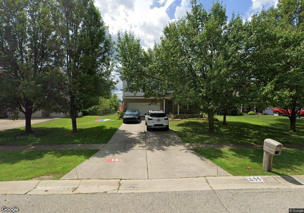
55 Broadcrest Dr Franklin, OH 45005
Estimated Value: $323,000 - $342,000
4
Beds
3
Baths
1,970
Sq Ft
$169/Sq Ft
Est. Value
About This Home
This home is located at 55 Broadcrest Dr, Franklin, OH 45005 and is currently estimated at $332,110, approximately $168 per square foot. 55 Broadcrest Dr is a home located in Warren County with nearby schools including Franklin High School.
Ownership History
Date
Name
Owned For
Owner Type
Purchase Details
Closed on
Aug 29, 2003
Sold by
The Cristo Group Inc
Bought by
Hall Jason T and Hall Tammy S
Current Estimated Value
Home Financials for this Owner
Home Financials are based on the most recent Mortgage that was taken out on this home.
Original Mortgage
$168,435
Outstanding Balance
$74,639
Interest Rate
6.18%
Mortgage Type
VA
Estimated Equity
$257,471
Purchase Details
Closed on
Mar 11, 2003
Sold by
J-Ii Homes Inc
Bought by
Cristo Group Inc
Create a Home Valuation Report for This Property
The Home Valuation Report is an in-depth analysis detailing your home's value as well as a comparison with similar homes in the area
Home Values in the Area
Average Home Value in this Area
Purchase History
| Date | Buyer | Sale Price | Title Company |
|---|---|---|---|
| Hall Jason T | $163,533 | Middletown Title | |
| Cristo Group Inc | $465,000 | -- |
Source: Public Records
Mortgage History
| Date | Status | Borrower | Loan Amount |
|---|---|---|---|
| Open | Hall Jason T | $168,435 |
Source: Public Records
Tax History
| Year | Tax Paid | Tax Assessment Tax Assessment Total Assessment is a certain percentage of the fair market value that is determined by local assessors to be the total taxable value of land and additions on the property. | Land | Improvement |
|---|---|---|---|---|
| 2025 | $4,172 | $88,680 | $25,030 | $63,650 |
| 2024 | $4,172 | $88,680 | $25,030 | $63,650 |
| 2023 | $3,596 | $68,551 | $14,455 | $54,096 |
| 2022 | $3,527 | $68,551 | $14,455 | $54,096 |
| 2021 | $3,344 | $68,551 | $14,455 | $54,096 |
| 2020 | $3,213 | $58,093 | $12,250 | $45,843 |
| 2019 | $2,922 | $58,093 | $12,250 | $45,843 |
| 2018 | $2,882 | $58,093 | $12,250 | $45,843 |
| 2017 | $2,773 | $50,355 | $10,787 | $39,568 |
| 2016 | $2,827 | $50,355 | $10,787 | $39,568 |
| 2015 | $2,827 | $50,355 | $10,787 | $39,568 |
| 2014 | $2,779 | $48,890 | $10,470 | $38,420 |
| 2013 | $2,386 | $57,180 | $12,250 | $44,930 |
Source: Public Records
Map
Nearby Homes
- 3935 Anthony Ln
- 6510 State Route 123
- 6510 Ohio 123
- 995 E 4th St
- 6 Beal Rd
- 25 Copperhead Trail
- 45 Copperhead Trail
- 409 Millard Dr
- 0 Kathy Ln Unit 954617
- 0 Kathy Ln Unit 1834240
- 760 David Blvd
- 747 David Blvd
- 29 Louise Dr
- 218 Roberts Ave
- 5604 Ohio 123
- 7189 Shaker Rd
- 5684 Olive Rd
- 45 Libby Hollow St
- 551 E 2nd St
- 21 Skokiaan Dr
- 45 Broadcrest Dr
- 65 Broadcrest Dr
- 35 Broadcrest Dr
- 75 Broadcrest Dr
- 40 Broadcrest Dr
- 25 Broadcrest Dr
- 30 Broadcrest Dr
- 70 Broadcrest Dr
- 80 Broadcrest Dr
- 101 Hillsdale Dr
- 60 Broadcrest Dr
- 91 Hillsdale Dr
- 111 Hillsdale Dr
- 20 Broadcrest Dr
- 15 Broadcrest Dr
- 81 Hillsdale Dr
- 121 Hillsdale Dr
- 71 Hillsdale Dr
- 131 Hillsdale Dr
- 10 Broadcrest Dr
Your Personal Tour Guide
Ask me questions while you tour the home.