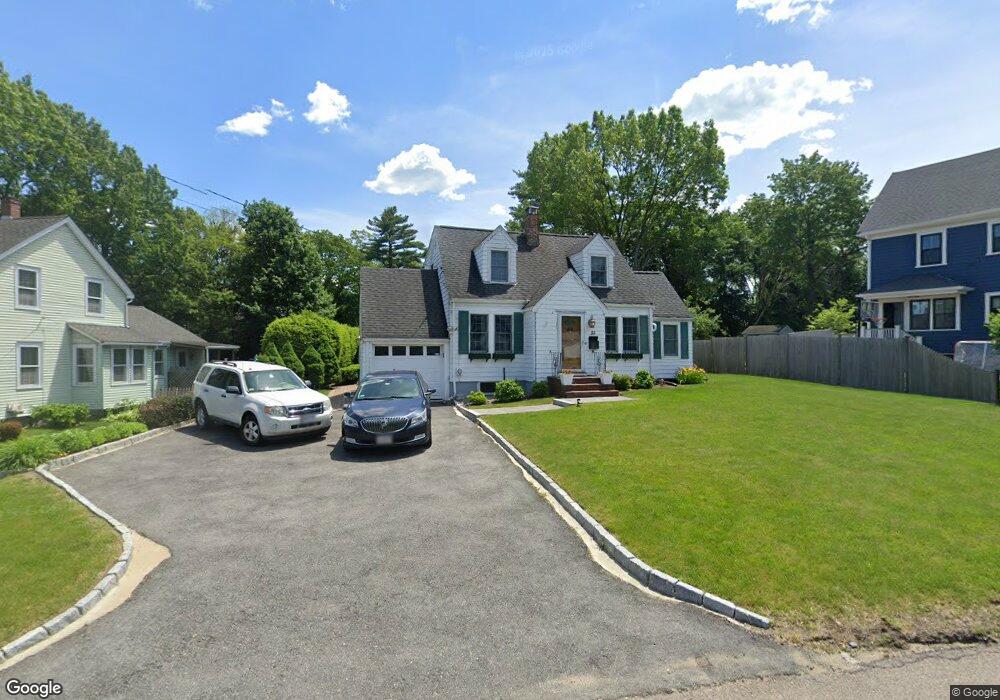
55 Carroll Ave Westwood, MA 02090
Estimated Value: $841,000 - $1,206,000
3
Beds
3
Baths
2,365
Sq Ft
$417/Sq Ft
Est. Value
About This Home
This home is located at 55 Carroll Ave, Westwood, MA 02090 and is currently estimated at $985,874, approximately $416 per square foot. 55 Carroll Ave is a home located in Norfolk County with nearby schools including Westwood High School, St Catherine Of Siena School, and Dedham Country Day School.
Ownership History
Date
Name
Owned For
Owner Type
Purchase Details
Closed on
Mar 6, 2017
Sold by
Meincke Paul W and Meincke Deborah J
Bought by
Meincke Deborah J
Current Estimated Value
Home Financials for this Owner
Home Financials are based on the most recent Mortgage that was taken out on this home.
Original Mortgage
$355,000
Outstanding Balance
$293,728
Interest Rate
4.09%
Mortgage Type
New Conventional
Estimated Equity
$692,146
Create a Home Valuation Report for This Property
The Home Valuation Report is an in-depth analysis detailing your home's value as well as a comparison with similar homes in the area
Home Values in the Area
Average Home Value in this Area
Purchase History
| Date | Buyer | Sale Price | Title Company |
|---|---|---|---|
| Meincke Deborah J | $176,000 | -- |
Source: Public Records
Mortgage History
| Date | Status | Borrower | Loan Amount |
|---|---|---|---|
| Open | Meincke Deborah J | $355,000 |
Source: Public Records
Tax History Compared to Growth
Tax History
| Year | Tax Paid | Tax Assessment Tax Assessment Total Assessment is a certain percentage of the fair market value that is determined by local assessors to be the total taxable value of land and additions on the property. | Land | Improvement |
|---|---|---|---|---|
| 2025 | $11,174 | $873,000 | $445,700 | $427,300 |
| 2024 | $10,691 | $834,600 | $424,400 | $410,200 |
| 2023 | $9,457 | $661,300 | $353,700 | $307,600 |
| 2022 | $9,198 | $620,250 | $312,700 | $307,550 |
| 2021 | $9,479 | $641,350 | $297,850 | $343,500 |
| 2020 | $8,908 | $613,950 | $297,850 | $316,100 |
| 2019 | $8,468 | $578,050 | $283,600 | $294,450 |
| 2018 | $8,030 | $532,150 | $283,600 | $248,550 |
| 2017 | $7,873 | $540,350 | $283,600 | $256,750 |
| 2016 | $7,744 | $528,250 | $283,600 | $244,650 |
| 2015 | $7,447 | $488,650 | $283,600 | $205,050 |
Source: Public Records
Map
Nearby Homes
- 298 Washington St Unit 302
- 290 East St
- 50 Fairview St
- 102 Parker St
- 102 Smith Dr
- 130 Cobleigh St
- 1000 Washington St Unit 205
- 39 Westbrook Ln
- 1 Laura Ln
- 44 Willard St
- 19 Cushing Rd
- 355 Canton St
- 24 Overlook Ave
- 29 S Gate St
- 11 Granite St
- 8 Karen Pines St
- 306 Highland St
- 187 Vincent Rd
- 989 East St Unit 107
- 989 East St Unit 403