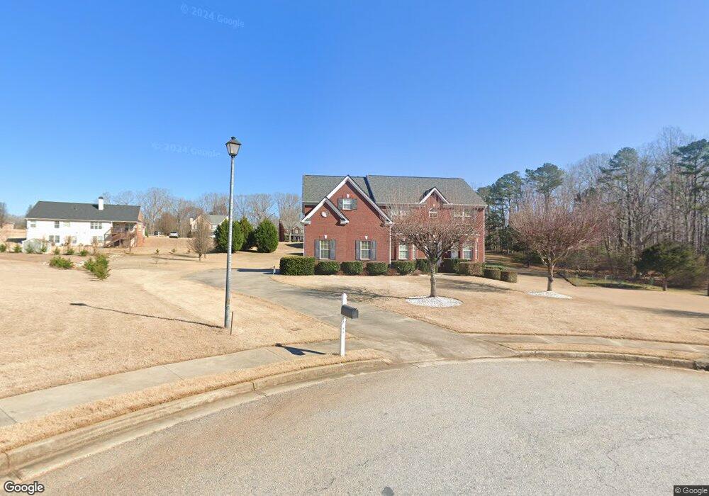
55 Charleston Ln Covington, GA 30016
Estimated Value: $439,220 - $510,000
--
Bed
4
Baths
3,303
Sq Ft
$147/Sq Ft
Est. Value
About This Home
This home is located at 55 Charleston Ln, Covington, GA 30016 and is currently estimated at $485,555, approximately $147 per square foot. 55 Charleston Ln is a home located in Newton County with nearby schools including Livingston Elementary School, Liberty Middle School, and Alcovy High School.
Ownership History
Date
Name
Owned For
Owner Type
Purchase Details
Closed on
Jun 28, 2006
Sold by
Manor Homes Inc
Bought by
Gary Nicole
Current Estimated Value
Home Financials for this Owner
Home Financials are based on the most recent Mortgage that was taken out on this home.
Original Mortgage
$203,400
Outstanding Balance
$120,019
Interest Rate
6.54%
Mortgage Type
New Conventional
Estimated Equity
$365,536
Create a Home Valuation Report for This Property
The Home Valuation Report is an in-depth analysis detailing your home's value as well as a comparison with similar homes in the area
Home Values in the Area
Average Home Value in this Area
Purchase History
| Date | Buyer | Sale Price | Title Company |
|---|---|---|---|
| Gary Nicole | $290,600 | -- |
Source: Public Records
Mortgage History
| Date | Status | Borrower | Loan Amount |
|---|---|---|---|
| Open | Gary Nicole | $203,400 |
Source: Public Records
Tax History Compared to Growth
Tax History
| Year | Tax Paid | Tax Assessment Tax Assessment Total Assessment is a certain percentage of the fair market value that is determined by local assessors to be the total taxable value of land and additions on the property. | Land | Improvement |
|---|---|---|---|---|
| 2024 | $4,699 | $186,480 | $31,200 | $155,280 |
| 2023 | $4,505 | $167,200 | $12,000 | $155,200 |
| 2022 | $3,685 | $136,960 | $12,000 | $124,960 |
| 2021 | $3,897 | $129,960 | $12,000 | $117,960 |
| 2020 | $3,686 | $111,480 | $8,800 | $102,680 |
| 2019 | $3,265 | $97,520 | $8,800 | $88,720 |
| 2018 | $3,121 | $92,720 | $8,800 | $83,920 |
| 2017 | $3,288 | $97,600 | $8,800 | $88,800 |
| 2016 | $2,626 | $78,320 | $8,800 | $69,520 |
| 2015 | $2,477 | $74,000 | $8,800 | $65,200 |
| 2014 | $2,718 | $81,240 | $0 | $0 |
Source: Public Records
Map
Nearby Homes
- 30 Laurel Way
- 270 Wellbrook Dr
- 0 Highway 81 S Unit 7670352
- 66 Ellis Trail
- 135 Lumby Ln
- 160 Cross Rd
- 35 Heyman Dr Unit 85
- 105 Heyman Dr Unit 79
- 35 Green Hill Ct
- 230 Laurel Way
- 335 Glen Echo Dr
- The Northview Plan at Hampton Place Estates
- The Carrollton Plan at Hampton Place Estates
- The Wendell Plan at Hampton Place Estates
- The Donovan Plan at Hampton Place Estates
- The Kendall Plan at Hampton Place Estates
- The Rosewood Plan at Hampton Place Estates
- The Brookdale Plan at Hampton Place Estates
- The Chadwick Plan at Hampton Place Estates
- 165 Wildcat Creek Dr
- 65 Charleston Ln
- 45 Charleston Ln
- 140 Mission Pointe Ln
- 120 Mission Pointe Ln
- 120 Mission Point
- 30 Charleston Ln
- 75 Charleston Ln
- 25 Charleston Ln
- 135 Mission Pointe Ln
- 20 Charleston Ln
- 145 Mission Pointe Ln
- 85 Charleston Ln
- 70 Charleston Ln Unit 31
- 70 Charleston Ln
- 110 Mission Pointe Ln
- 125 Mission Pointe Ln
- 15 Charleston Ln
- 10 Charleston Ln
- 165 Mission Pointe Ln
- 155 Mission Pointe Ln