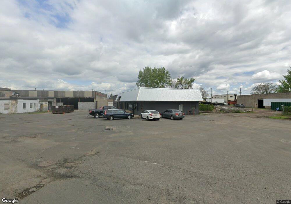
55 Circuit Ave West Springfield, MA 01089
Estimated Value: $770,146
Studio
1
Bath
20,635
Sq Ft
$37/Sq Ft
Est. Value
About This Home
This home is located at 55 Circuit Ave, West Springfield, MA 01089 and is currently estimated at $770,146, approximately $37 per square foot. 55 Circuit Ave is a home located in Hampden County with nearby schools including West Springfield High School, Hampden Charter School of Science West, and Libertas Academy Charter School.
Ownership History
Date
Name
Owned For
Owner Type
Purchase Details
Closed on
Dec 31, 2014
Sold by
Hr Massachusetts Llc
Bought by
Westside 55 Circuit Llc
Current Estimated Value
Home Financials for this Owner
Home Financials are based on the most recent Mortgage that was taken out on this home.
Original Mortgage
$300,000
Outstanding Balance
$231,052
Interest Rate
3.99%
Mortgage Type
Commercial
Estimated Equity
$539,094
Purchase Details
Closed on
Nov 18, 2013
Sold by
Ct Valley Block Co Inc
Bought by
Hr Massachusetts Llc
Create a Home Valuation Report for This Property
The Home Valuation Report is an in-depth analysis detailing your home's value as well as a comparison with similar homes in the area
Home Values in the Area
Average Home Value in this Area
Purchase History
| Date | Buyer | Sale Price | Title Company |
|---|---|---|---|
| Westside 55 Circuit Llc | $385,000 | -- | |
| Hr Massachusetts Llc | $866,250 | -- |
Source: Public Records
Mortgage History
| Date | Status | Borrower | Loan Amount |
|---|---|---|---|
| Open | Westside 55 Circuit Llc | $300,000 |
Source: Public Records
Tax History
| Year | Tax Paid | Tax Assessment Tax Assessment Total Assessment is a certain percentage of the fair market value that is determined by local assessors to be the total taxable value of land and additions on the property. | Land | Improvement |
|---|---|---|---|---|
| 2025 | $27,422 | $905,600 | $190,700 | $714,900 |
| 2024 | $23,596 | $791,800 | $190,700 | $601,100 |
| 2023 | $22,709 | $742,600 | $190,700 | $551,900 |
| 2022 | $21,412 | $692,500 | $173,400 | $519,100 |
| 2021 | $22,246 | $684,900 | $165,300 | $519,600 |
| 2020 | $22,362 | $684,900 | $165,300 | $519,600 |
| 2019 | $22,293 | $684,900 | $165,300 | $519,600 |
| 2018 | $22,533 | $684,900 | $165,300 | $519,600 |
| 2017 | $22,698 | $684,900 | $165,300 | $519,600 |
| 2016 | $22,540 | $678,700 | $159,100 | $519,600 |
| 2015 | $22,161 | $667,700 | $156,000 | $511,700 |
| 2014 | $5,393 | $667,700 | $156,000 | $511,700 |
Source: Public Records
Map
Nearby Homes
- 29 Lowell Ave
- 31 Russell St
- 20 Sprague St
- 37 Day St
- 188 Windsor St
- 92 Norman St
- 122 Norman St
- 20 Cottage St
- 63 Worcester St
- 146 Union St
- 63 Allston Ave
- 439 Cold Spring Ave
- 474 Cold Spring Ave
- 148 River St
- 57 Reed St
- Lot 10 Ahiska Rd
- 29 Webster Ave
- 271 Regency Park Dr Unit 271
- 204 Regency Park Dr
- 22 Cooley St
- 55 Circuit Ave Unit B
- 55 Circuit Ave Unit A
- 0 Bramble Ave
- 865 Memorial Ave
- 865 Memorial Ave Unit B,C,D
- 745 Memorial Ave
- 751 Memorial Ave
- 733 Memorial Ave
- 733 Memorial Ave Unit 745
- 777 Memorial Ave
- 21 Bramble St
- 21 Bramble Ave
- 874 Memorial Ave
- 759 Memorial Ave
- 900 Memorial Ave
- 989 Memorial Ave
- 11 Lowell St
- 95 Circuit Ave
- 27 Lowell St
- 1004 Memorial Ave
Your Personal Tour Guide
Ask me questions while you tour the home.