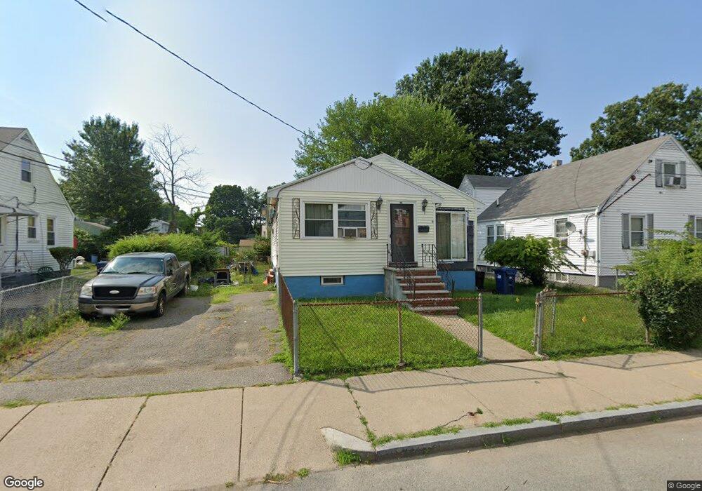
55 Colorado St Mattapan, MA 02126
Southern Mattapan NeighborhoodEstimated Value: $504,000 - $596,000
3
Beds
2
Baths
1,116
Sq Ft
$489/Sq Ft
Est. Value
About This Home
This home is located at 55 Colorado St, Mattapan, MA 02126 and is currently estimated at $546,069, approximately $489 per square foot. 55 Colorado St is a home located in Suffolk County with nearby schools including KIPP Academy Boston Charter School and Berea Seventh-day Adventist Academy.
Ownership History
Date
Name
Owned For
Owner Type
Purchase Details
Closed on
Apr 22, 1994
Sold by
Marshall Gabriel E and Marshall Joann
Bought by
Hines Kenneth M and Hines Darlene
Current Estimated Value
Home Financials for this Owner
Home Financials are based on the most recent Mortgage that was taken out on this home.
Original Mortgage
$92,475
Interest Rate
7.6%
Mortgage Type
Purchase Money Mortgage
Create a Home Valuation Report for This Property
The Home Valuation Report is an in-depth analysis detailing your home's value as well as a comparison with similar homes in the area
Home Values in the Area
Average Home Value in this Area
Purchase History
| Date | Buyer | Sale Price | Title Company |
|---|---|---|---|
| Hines Kenneth M | $90,000 | -- |
Source: Public Records
Mortgage History
| Date | Status | Borrower | Loan Amount |
|---|---|---|---|
| Closed | Hines Kenneth M | $92,475 |
Source: Public Records
Tax History Compared to Growth
Tax History
| Year | Tax Paid | Tax Assessment Tax Assessment Total Assessment is a certain percentage of the fair market value that is determined by local assessors to be the total taxable value of land and additions on the property. | Land | Improvement |
|---|---|---|---|---|
| 2025 | $3,894 | $336,300 | $136,600 | $199,700 |
| 2024 | $3,827 | $351,100 | $133,600 | $217,500 |
| 2023 | $3,590 | $334,300 | $127,200 | $207,100 |
| 2022 | $3,367 | $309,500 | $117,800 | $191,700 |
| 2021 | $3,029 | $283,900 | $112,200 | $171,700 |
| 2020 | $2,622 | $248,300 | $105,700 | $142,600 |
| 2019 | $2,517 | $238,800 | $79,200 | $159,600 |
| 2018 | $2,338 | $223,100 | $79,200 | $143,900 |
| 2017 | $2,349 | $221,800 | $79,200 | $142,600 |
| 2016 | $2,218 | $201,600 | $79,200 | $122,400 |
| 2015 | $2,031 | $167,700 | $81,400 | $86,300 |
| 2014 | $1,935 | $153,800 | $81,400 | $72,400 |
Source: Public Records
Map
Nearby Homes
- 14-14R Kennebec St
- 116 Almont St
- 10 Itasca St
- 60 and 64 Monterey Ave
- 49 Fottler Rd
- 100 Itasca St
- 20 Monterey Ave
- 58 Mattapan St
- 45 1st Ave Unit 111
- 710 Walk Hill St
- 12 Hiawatha Rd
- 4 Gilmer St
- 23 Fessenden St
- 25 Fessenden St
- 72 Livermore St
- 231 Itasca St
- 1465 Blue Hill Ave
- 567B Norfolk St
- 95 Woodhaven St
- 30-32 Westmore Rd
- 51 Colorado St
- 59 Colorado St
- 47 Colorado St
- 54 Alabama St
- 52 Alabama St
- 0 Currier St Unit 72191903
- 0 Currier St
- 0 Currier St Unit 70679113
- 63 Colorado St
- 48 Alabama St
- 36 Colorado St
- 43 Colorado St
- 40 Colorado St
- 44 Colorado St
- 60 Alabama St
- 32 Colorado St
- 28 Colorado St
- 48 Colorado St
- 44 Alabama St
- 39 Colorado St