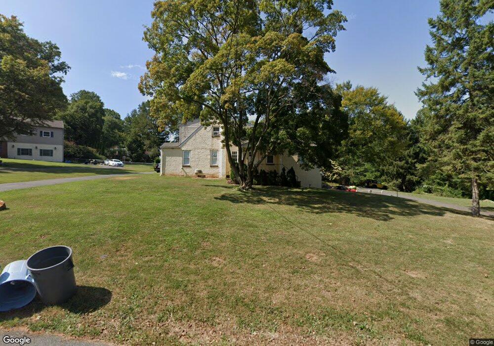
55 Drayton Rd Aston, PA 19014
Estimated Value: $388,000 - $497,000
4
Beds
2
Baths
2,276
Sq Ft
$191/Sq Ft
Est. Value
About This Home
This home is located at 55 Drayton Rd, Aston, PA 19014 and is currently estimated at $435,408, approximately $191 per square foot. 55 Drayton Rd is a home located in Delaware County.
Ownership History
Date
Name
Owned For
Owner Type
Purchase Details
Closed on
Apr 20, 2022
Sold by
Janet Boger
Bought by
Ruppert Sherri
Current Estimated Value
Home Financials for this Owner
Home Financials are based on the most recent Mortgage that was taken out on this home.
Original Mortgage
$346,750
Outstanding Balance
$328,164
Interest Rate
5%
Mortgage Type
New Conventional
Estimated Equity
$107,244
Purchase Details
Closed on
Aug 15, 2002
Sold by
Matthews Adele Zets and Matthews Adele R
Bought by
Roger Janet
Home Financials for this Owner
Home Financials are based on the most recent Mortgage that was taken out on this home.
Original Mortgage
$182,250
Interest Rate
6.57%
Purchase Details
Closed on
Aug 21, 2001
Sold by
Unterberger Ronald C
Bought by
Matthews Adele Zets
Create a Home Valuation Report for This Property
The Home Valuation Report is an in-depth analysis detailing your home's value as well as a comparison with similar homes in the area
Home Values in the Area
Average Home Value in this Area
Purchase History
| Date | Buyer | Sale Price | Title Company |
|---|---|---|---|
| Ruppert Sherri | $365,000 | None Listed On Document | |
| Roger Janet | $202,500 | -- | |
| Matthews Adele Zets | -- | -- |
Source: Public Records
Mortgage History
| Date | Status | Borrower | Loan Amount |
|---|---|---|---|
| Open | Ruppert Sherri | $346,750 | |
| Previous Owner | Roger Janet | $182,250 |
Source: Public Records
Tax History
| Year | Tax Paid | Tax Assessment Tax Assessment Total Assessment is a certain percentage of the fair market value that is determined by local assessors to be the total taxable value of land and additions on the property. | Land | Improvement |
|---|---|---|---|---|
| 2025 | $6,533 | $251,770 | $74,420 | $177,350 |
| 2024 | $6,533 | $251,770 | $74,420 | $177,350 |
| 2023 | $6,240 | $251,770 | $74,420 | $177,350 |
| 2022 | $6,017 | $251,770 | $74,420 | $177,350 |
| 2021 | $9,286 | $251,770 | $74,420 | $177,350 |
| 2020 | $5,989 | $146,640 | $70,800 | $75,840 |
| 2019 | $5,874 | $146,640 | $70,800 | $75,840 |
| 2018 | $5,625 | $146,640 | $0 | $0 |
| 2017 | $5,505 | $146,640 | $0 | $0 |
| 2016 | $805 | $146,640 | $0 | $0 |
| 2015 | $805 | $146,640 | $0 | $0 |
| 2014 | $805 | $146,640 | $0 | $0 |
Source: Public Records
Map
Nearby Homes
- 10 Convent Rd
- 346 Lenni Rd
- 239 Spring Valley Way
- 6 Laurel Ln
- 36 Hoag Ln
- 360 Cashel Ct Unit 360
- 150 Nottingham Ct
- 39 Hoag Ln
- 182 Nottingham Ct
- 3701 Mount Rd
- 270 Miley Rd Unit 270
- 224 S Pennell Rd
- 746 Switchman Rd
- 206 Chestnut Ave
- 810 Maple Ln
- 4301 Aston Mills Rd
- 239 Bishop Dr
- 94 Victoria Dr
- 630 Mount Alverno Rd
- 16 War Admiral Ln
Your Personal Tour Guide
Ask me questions while you tour the home.