55 Empire St Unit 71 Chicopee, MA 01013
Willimansett NeighborhoodEstimated Value: $210,000 - $229,616
2
Beds
2
Baths
800
Sq Ft
$276/Sq Ft
Est. Value
About This Home
This home is located at 55 Empire St Unit 71, Chicopee, MA 01013 and is currently estimated at $221,154, approximately $276 per square foot. 55 Empire St Unit 71 is a home located in Hampden County with nearby schools including Fairview Elementary School, Bellamy Middle School, and Chicopee High School.
Ownership History
Date
Name
Owned For
Owner Type
Purchase Details
Closed on
Jan 24, 2005
Sold by
Guiel Tricia
Bought by
Merchant Douglas M
Current Estimated Value
Home Financials for this Owner
Home Financials are based on the most recent Mortgage that was taken out on this home.
Original Mortgage
$90,100
Interest Rate
5.71%
Mortgage Type
Purchase Money Mortgage
Purchase Details
Closed on
Feb 2, 1994
Sold by
Mga Dev Inc
Bought by
Guiel Tricia
Home Financials for this Owner
Home Financials are based on the most recent Mortgage that was taken out on this home.
Original Mortgage
$33,000
Interest Rate
7.12%
Mortgage Type
Purchase Money Mortgage
Create a Home Valuation Report for This Property
The Home Valuation Report is an in-depth analysis detailing your home's value as well as a comparison with similar homes in the area
Home Values in the Area
Average Home Value in this Area
Purchase History
| Date | Buyer | Sale Price | Title Company |
|---|---|---|---|
| Merchant Douglas M | $106,000 | -- | |
| Guiel Tricia | $60,000 | -- |
Source: Public Records
Mortgage History
| Date | Status | Borrower | Loan Amount |
|---|---|---|---|
| Open | Guiel Tricia | $91,000 | |
| Closed | Merchant Douglas M | $90,100 | |
| Previous Owner | Guiel Tricia | $33,000 |
Source: Public Records
Tax History Compared to Growth
Tax History
| Year | Tax Paid | Tax Assessment Tax Assessment Total Assessment is a certain percentage of the fair market value that is determined by local assessors to be the total taxable value of land and additions on the property. | Land | Improvement |
|---|---|---|---|---|
| 2025 | $2,629 | $173,400 | $0 | $173,400 |
| 2024 | $2,458 | $166,500 | $0 | $166,500 |
| 2023 | $2,313 | $152,700 | $0 | $152,700 |
| 2022 | $2,319 | $136,500 | $0 | $136,500 |
| 2021 | $2,154 | $122,300 | $0 | $122,300 |
| 2020 | $2,010 | $115,100 | $0 | $115,100 |
| 2019 | $1,983 | $110,400 | $0 | $110,400 |
| 2018 | $1,934 | $105,600 | $0 | $105,600 |
| 2017 | $1,958 | $113,100 | $0 | $113,100 |
| 2016 | $1,958 | $115,800 | $0 | $115,800 |
| 2015 | $2,031 | $115,800 | $0 | $115,800 |
| 2014 | $1,912 | $115,800 | $0 | $115,800 |
Source: Public Records
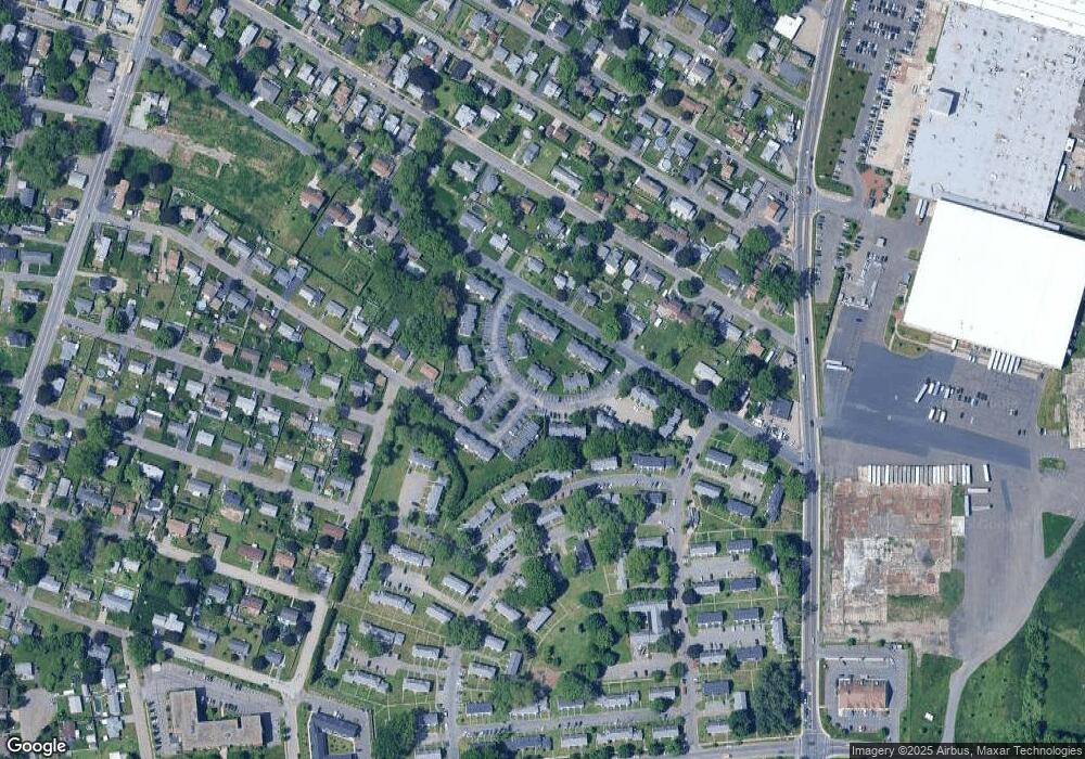
Map
Nearby Homes
- 39 Daley St
- 47 Dorrance St
- 39 State St
- 90 Mckinstry Ave Unit 117
- 210 Clarendon Ave
- 219 Clarendon Ave
- 87 Clarendon Ave
- 18 Charpentier Blvd
- 200 Lambert Terrace Unit 70
- 200 Lambert Terrace Unit 2
- 91 Norman St
- 551 Lafleur Dr
- 76 Roy St
- 958 Main St
- 583 Mckinstry Ave
- 861 Grattan St
- 934 Main St
- 54 Dayton St
- 71 Florence St
- 212 Poplar St
- 55 Empire St Unit 75
- 55 Empire St Unit 73
- 55 Empire St Unit 72
- 55 Empire St Unit 70
- 55 Empire St Unit 69
- 55 Empire St Unit 68
- 55 Empire St Unit 67
- 55 Empire St Unit 66
- 55 Empire St Unit 65
- 55 Empire St Unit 64
- 55 Empire St Unit 63
- 55 Empire St Unit 62
- 55 Empire St Unit 61
- 55 Empire St Unit 59
- 55 Empire St Unit 58
- 55 Empire St Unit 57
- 55 Empire St Unit 56
- 55 Empire St
- 55 Empire St Unit 54
- 55 Empire St Unit 53