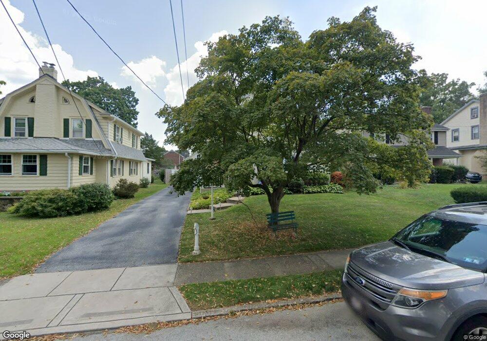
55 Forest Rd Springfield, PA 19064
Estimated Value: $406,000 - $535,043
3
Beds
2
Baths
2,560
Sq Ft
$184/Sq Ft
Est. Value
About This Home
This home is located at 55 Forest Rd, Springfield, PA 19064 and is currently estimated at $471,511, approximately $184 per square foot. 55 Forest Rd is a home located in Delaware County with nearby schools including Springfield High School, St Francis Of Assisi School, and Holy Cross School.
Ownership History
Date
Name
Owned For
Owner Type
Purchase Details
Closed on
Sep 5, 2025
Sold by
Lafferty Charles J and Lafferty Marie
Bought by
Shea-Crockett Dawn M and Crockett Michael A
Current Estimated Value
Home Financials for this Owner
Home Financials are based on the most recent Mortgage that was taken out on this home.
Original Mortgage
$345,863
Outstanding Balance
$345,863
Interest Rate
6.74%
Mortgage Type
FHA
Estimated Equity
$125,648
Purchase Details
Closed on
Dec 13, 1976
Bought by
Lafferty Charles and Lafferty Marie
Create a Home Valuation Report for This Property
The Home Valuation Report is an in-depth analysis detailing your home's value as well as a comparison with similar homes in the area
Home Values in the Area
Average Home Value in this Area
Purchase History
| Date | Buyer | Sale Price | Title Company |
|---|---|---|---|
| Shea-Crockett Dawn M | $399,900 | None Listed On Document | |
| Shea-Crockett Dawn M | $399,900 | None Listed On Document | |
| Lafferty Charles | -- | -- |
Source: Public Records
Mortgage History
| Date | Status | Borrower | Loan Amount |
|---|---|---|---|
| Open | Shea-Crockett Dawn M | $345,863 | |
| Closed | Shea-Crockett Dawn M | $345,863 |
Source: Public Records
Tax History
| Year | Tax Paid | Tax Assessment Tax Assessment Total Assessment is a certain percentage of the fair market value that is determined by local assessors to be the total taxable value of land and additions on the property. | Land | Improvement |
|---|---|---|---|---|
| 2025 | $7,369 | $262,180 | $93,890 | $168,290 |
| 2024 | $7,369 | $262,180 | $93,890 | $168,290 |
| 2023 | $7,096 | $262,180 | $93,890 | $168,290 |
| 2022 | $6,942 | $262,180 | $93,890 | $168,290 |
| 2021 | $10,751 | $262,180 | $93,890 | $168,290 |
| 2020 | $6,707 | $148,020 | $45,130 | $102,890 |
| 2019 | $6,550 | $148,020 | $45,130 | $102,890 |
| 2018 | $6,456 | $148,020 | $0 | $0 |
| 2017 | $6,307 | $148,020 | $0 | $0 |
| 2016 | $812 | $148,020 | $0 | $0 |
| 2015 | $829 | $148,020 | $0 | $0 |
| 2014 | $829 | $148,020 | $0 | $0 |
Source: Public Records
Map
Nearby Homes
- 412 Foster Dr
- 436 Kerr Ln
- 359 Spring Valley Rd
- 120 W Springfield Rd
- 606 W Springfield Rd
- 364 S Rolling Rd
- 226 Lynbrooke Rd
- 225 Lynbrooke Rd
- 238 Alliston Rd
- 264 Pancoast Ave
- 29 School Ln
- 227 E Leamy Ave
- 253 Saxer Ave
- 501 Flora Cir
- 42 Greenhill Rd
- 641 W Sproul Rd
- 231 E Woodland Ave
- 334 Parham Rd
- 249 Gleaves Rd
- 720 Evans Rd
Your Personal Tour Guide
Ask me questions while you tour the home.