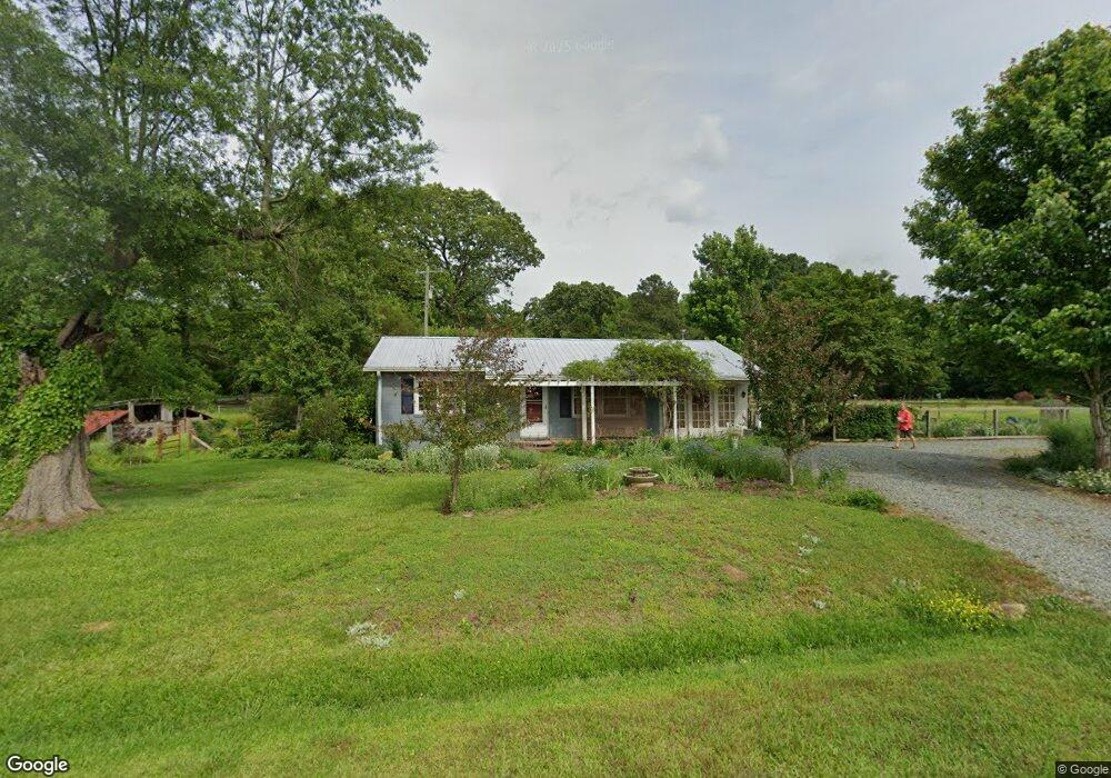
55 Hanks Loop Rd Pittsboro, NC 27312
Estimated Value: $239,000 - $324,266
2
Beds
1
Bath
921
Sq Ft
$321/Sq Ft
Est. Value
About This Home
This home is located at 55 Hanks Loop Rd, Pittsboro, NC 27312 and is currently estimated at $295,567, approximately $320 per square foot. 55 Hanks Loop Rd is a home located in Chatham County with nearby schools including Pittsboro Elementary School, George Moses Horton Middle School, and Thales Academy Pittsboro Pre-K-6.
Ownership History
Date
Name
Owned For
Owner Type
Purchase Details
Closed on
Dec 12, 2011
Sold by
Clark Frances S
Bought by
Sevy Kimberly D and Chase William S
Current Estimated Value
Home Financials for this Owner
Home Financials are based on the most recent Mortgage that was taken out on this home.
Original Mortgage
$88,500
Outstanding Balance
$59,556
Interest Rate
3.75%
Mortgage Type
New Conventional
Estimated Equity
$236,011
Create a Home Valuation Report for This Property
The Home Valuation Report is an in-depth analysis detailing your home's value as well as a comparison with similar homes in the area
Home Values in the Area
Average Home Value in this Area
Purchase History
| Date | Buyer | Sale Price | Title Company |
|---|---|---|---|
| Sevy Kimberly D | $105,000 | None Available |
Source: Public Records
Mortgage History
| Date | Status | Borrower | Loan Amount |
|---|---|---|---|
| Open | Sevy Kimberly D | $88,500 |
Source: Public Records
Tax History
| Year | Tax Paid | Tax Assessment Tax Assessment Total Assessment is a certain percentage of the fair market value that is determined by local assessors to be the total taxable value of land and additions on the property. | Land | Improvement |
|---|---|---|---|---|
| 2025 | $2,079 | $270,769 | $64,196 | $206,573 |
| 2024 | $2,079 | $198,015 | $51,828 | $146,187 |
| 2023 | $1,855 | $198,015 | $51,828 | $146,187 |
| 2022 | $1,692 | $198,015 | $51,828 | $146,187 |
| 2021 | $1,692 | $198,015 | $51,828 | $146,187 |
| 2020 | $1,252 | $142,206 | $43,603 | $98,603 |
| 2019 | $1,252 | $142,206 | $43,603 | $98,603 |
| 2018 | $1,192 | $142,206 | $43,603 | $98,603 |
| 2017 | $1,109 | $131,078 | $43,603 | $87,475 |
| 2016 | $901 | $100,892 | $34,065 | $66,827 |
| 2015 | $876 | $100,892 | $34,065 | $66,827 |
| 2014 | $869 | $100,892 | $34,065 | $66,827 |
| 2013 | -- | $100,892 | $34,065 | $66,827 |
Source: Public Records
Map
Nearby Homes
- 102 Peddler Mill Way Unit 23
- 2477 Hanks Chapel Rd
- 82 Stevens Creek Dr
- 240 Riverstone Dr
- 33 Hillway Rd
- 213 Beacon Dr
- 41 Hillway Rd
- 203 Beacon Dr
- 422 N Village Pkwy
- 226 Beacon Dr
- 7 Tallgrass Rd
- 13 Tallgrass Rd
- 402 N Village Pkwy
- 396 N Village Pkwy
- 125 Beacon Dr
- 44 Relaxing Way
- 368 N Village Pkwy
- 360 N Village Pkwy
- 0 Us 64 E Unit 10094521
- 263 Parkland Dr
- 1474 Hanks Chapel Rd
- 1474 Hanks Chapel Rd
- 1394 Hanks Chapel Rd
- 1411 Hanks Chapel Rd
- 1537 Hanks Chapel Rd
- 1419 Hanks Chapel Rd
- 134 Hanks Loop Rd
- 1636 Hanks Chapel Rd
- 1421 Hanks Chapel Rd
- 1660 Hanks Chapel Rd
- 602 Dee Farrell Rd
- 330 Hanks Loop Rd
- 1186 Hanks Chapel Rd
- 1280 Hanks Chapel Rd
- 1140 Hanks Chapel Rd
- 835 Foxfire Trace
- 376 Dee Farrell Rd
- 839 Foxfire Trace
- 1098 Hanks Chapel Rd
- 363 Dee Farrell Rd
Your Personal Tour Guide
Ask me questions while you tour the home.