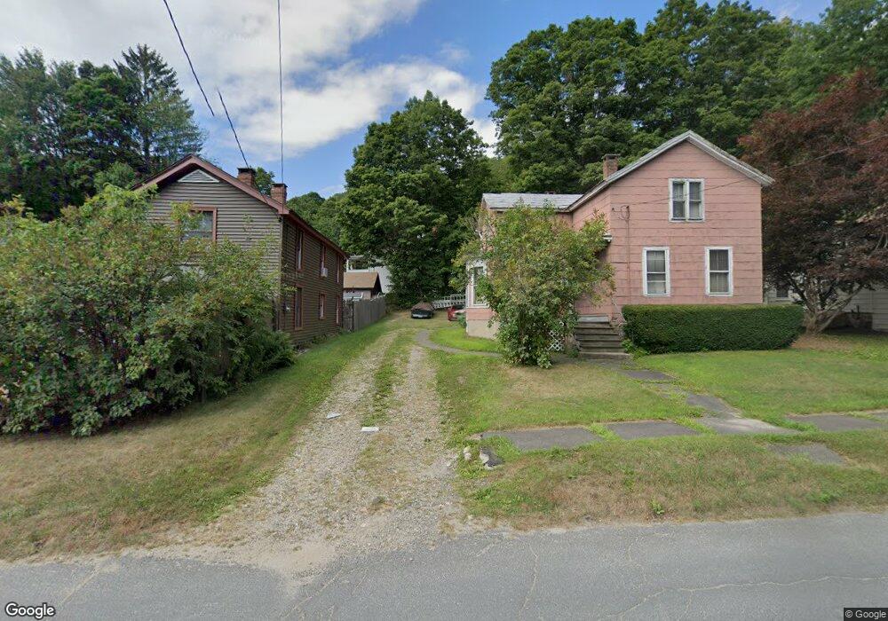
55 Hubbard St Winsted, CT 06098
Estimated Value: $238,000 - $997,122
4
Beds
1
Bath
1,494
Sq Ft
$293/Sq Ft
Est. Value
About This Home
This home is located at 55 Hubbard St, Winsted, CT 06098 and is currently estimated at $437,281, approximately $292 per square foot. 55 Hubbard St is a home located in Litchfield County with nearby schools including Pearson School, Explorations Charter School, and St Anthony School.
Ownership History
Date
Name
Owned For
Owner Type
Purchase Details
Closed on
Jul 11, 2019
Sold by
Hyman Carl D and Hyman Gail J
Bought by
Rigby-Solimano Richard R and Garcia-Mazzochi Sandra R
Current Estimated Value
Home Financials for this Owner
Home Financials are based on the most recent Mortgage that was taken out on this home.
Original Mortgage
$440,000
Outstanding Balance
$382,900
Interest Rate
3.5%
Mortgage Type
New Conventional
Estimated Equity
$54,381
Purchase Details
Closed on
Aug 1, 1986
Bought by
Ammirato Dominic
Create a Home Valuation Report for This Property
The Home Valuation Report is an in-depth analysis detailing your home's value as well as a comparison with similar homes in the area
Home Values in the Area
Average Home Value in this Area
Purchase History
| Date | Buyer | Sale Price | Title Company |
|---|---|---|---|
| Rigby-Solimano Richard R | $550,000 | -- | |
| Ammirato Dominic | -- | -- |
Source: Public Records
Mortgage History
| Date | Status | Borrower | Loan Amount |
|---|---|---|---|
| Open | Rigby-Solimano Richard R | $440,000 | |
| Previous Owner | Ammirato Dominic | $28,500 |
Source: Public Records
Tax History
| Year | Tax Paid | Tax Assessment Tax Assessment Total Assessment is a certain percentage of the fair market value that is determined by local assessors to be the total taxable value of land and additions on the property. | Land | Improvement |
|---|---|---|---|---|
| 2025 | $2,452 | $84,070 | $28,700 | $55,370 |
| 2024 | $2,290 | $84,070 | $28,700 | $55,370 |
| 2023 | $2,219 | $84,070 | $28,700 | $55,370 |
| 2022 | $2,538 | $75,670 | $20,790 | $54,880 |
| 2021 | $2,538 | $75,670 | $20,790 | $54,880 |
| 2020 | $2,538 | $75,670 | $20,790 | $54,880 |
| 2019 | $2,538 | $75,670 | $20,790 | $54,880 |
| 2018 | $2,538 | $75,670 | $20,790 | $54,880 |
| 2017 | $2,414 | $71,960 | $20,790 | $51,170 |
| 2016 | $2,414 | $71,960 | $20,790 | $51,170 |
| 2015 | $2,353 | $71,960 | $20,790 | $51,170 |
| 2014 | $2,296 | $71,960 | $20,790 | $51,170 |
Source: Public Records
Map
Nearby Homes
Your Personal Tour Guide
Ask me questions while you tour the home.