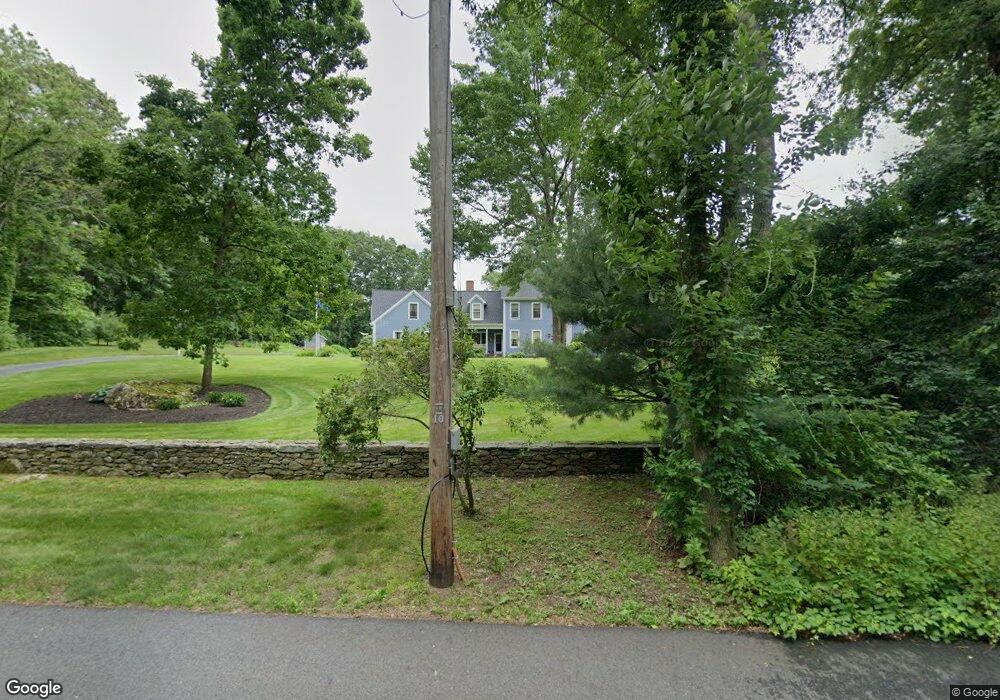
55 Hutchinson Rd Sutton, MA 01590
Estimated Value: $739,000 - $1,206,000
4
Beds
3
Baths
3,981
Sq Ft
$246/Sq Ft
Est. Value
About This Home
This home is located at 55 Hutchinson Rd, Sutton, MA 01590 and is currently estimated at $977,998, approximately $245 per square foot. 55 Hutchinson Rd is a home located in Worcester County with nearby schools including Sutton Elementary School, Sutton Middle School, and Sutton High School.
Ownership History
Date
Name
Owned For
Owner Type
Purchase Details
Closed on
Jan 6, 2021
Sold by
Matson Karen L
Bought by
Matson Ft
Current Estimated Value
Create a Home Valuation Report for This Property
The Home Valuation Report is an in-depth analysis detailing your home's value as well as a comparison with similar homes in the area
Home Values in the Area
Average Home Value in this Area
Purchase History
| Date | Buyer | Sale Price | Title Company |
|---|---|---|---|
| Matson Ft | -- | None Available |
Source: Public Records
Tax History Compared to Growth
Tax History
| Year | Tax Paid | Tax Assessment Tax Assessment Total Assessment is a certain percentage of the fair market value that is determined by local assessors to be the total taxable value of land and additions on the property. | Land | Improvement |
|---|---|---|---|---|
| 2025 | $11,147 | $927,400 | $191,600 | $735,800 |
| 2024 | $10,959 | $864,300 | $182,800 | $681,500 |
| 2023 | $11,080 | $800,000 | $166,000 | $634,000 |
| 2022 | $10,681 | $703,600 | $127,000 | $576,600 |
| 2021 | $10,358 | $647,400 | $127,000 | $520,400 |
| 2020 | $10,268 | $647,400 | $127,000 | $520,400 |
| 2019 | $9,907 | $599,700 | $127,000 | $472,700 |
| 2018 | $9,460 | $571,600 | $127,000 | $444,600 |
| 2017 | $9,367 | $567,700 | $111,800 | $455,900 |
| 2016 | $9,187 | $550,800 | $111,800 | $439,000 |
| 2015 | $8,814 | $528,400 | $111,800 | $416,600 |
| 2014 | $8,607 | $509,900 | $117,600 | $392,300 |
Source: Public Records
Map
Nearby Homes
- 21 Hutchinson Rd
- 354 W Sutton Rd
- 29 Winwood Rd
- 186 8 Lots Rd
- 63 Uxbridge Rd
- 7 Fuller Rd
- 242 Boston Rd
- 31 Central Turnpike
- 51 Central Turnpike
- 1 Burbank Rd
- 11 Laurel Dr
- 99 Burbank Rd
- 99 Burbank Road Lot 182
- 24 Manchaug Rd
- 126 Burbank Rd
- 28 Brierly Cir
- 318 W Main St
- 168 Burbank Rd
- 14 Stratford Village Dr Unit 14
- 31 Douglas Rd
- 51 Hutchinson Rd
- 61 Hutchinson Rd
- 62 Hutchinson Rd
- 45 Hutchinson Rd
- 50 Hutchinson Rd
- 66 Hutchinson Rd
- 67 Hutchinson Rd
- 72 Hutchinson Rd
- 31 Hutchinson Rd
- 16 Horne Dr
- 36 Hutchinson Rd
- 23 Hutchinson Rd
- 36 Eight Lots Rd
- 25 Hutchinson Rd
- 10 Old Tavern Ln
- 40 Hutchinson Rd
- 30 Hutchinson Rd
- 78 Hutchinson Rd
- 26 Horne Dr
- 20 Horne Dr