Estimated Value: $719,451 - $832,000
4
Beds
3
Baths
2,560
Sq Ft
$308/Sq Ft
Est. Value
About This Home
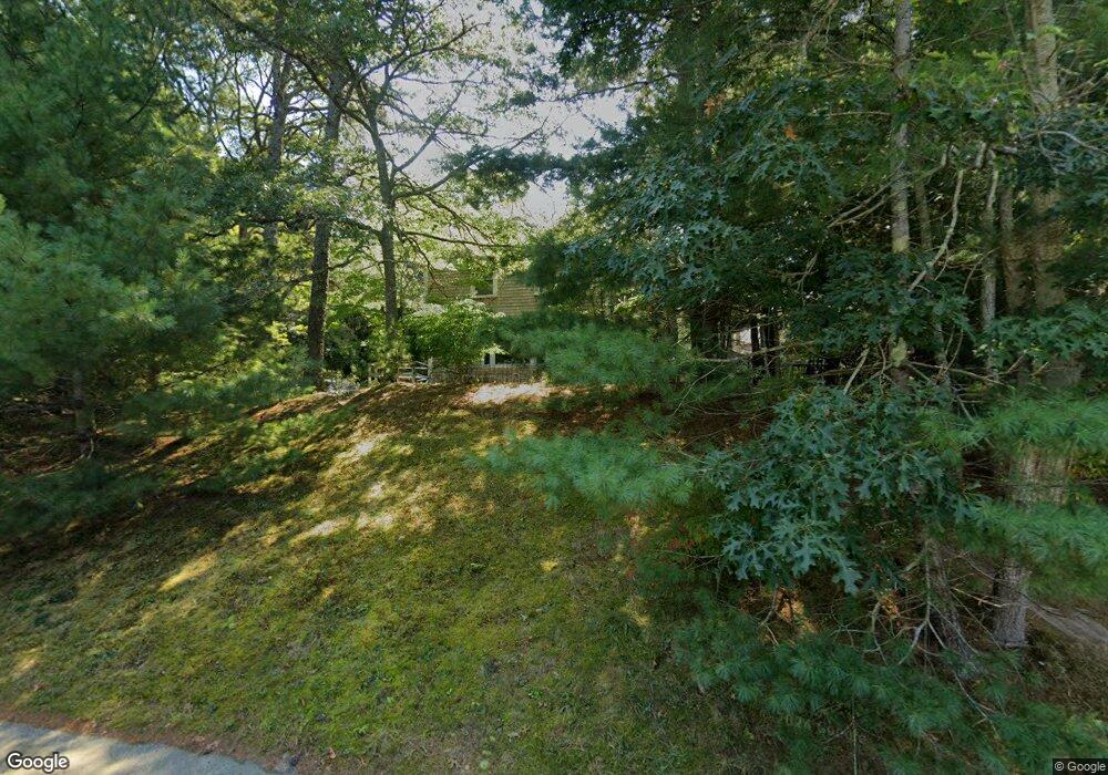
This home is located at 55 Jb Dr, Marstons Mills, MA 02648 and is currently estimated at $788,113, approximately $307 per square foot. 55 Jb Dr is a home located in Barnstable County with nearby schools including West Villages Elementary School, Barnstable United Elementary School, and Barnstable Intermediate School.
Ownership History
Date
Name
Owned For
Owner Type
Purchase Details
Closed on
Jan 13, 2006
Sold by
Hannon Martin E and Hannon Patricia A
Bought by
Fellowship Rlty Corp O
Current Estimated Value
Purchase Details
Closed on
Sep 15, 1989
Sold by
Schoonmaker Jon W
Bought by
Hannon Martin E
Home Financials for this Owner
Home Financials are based on the most recent Mortgage that was taken out on this home.
Original Mortgage
$79,000
Interest Rate
9.58%
Mortgage Type
Purchase Money Mortgage
Create a Home Valuation Report for This Property
The Home Valuation Report is an in-depth analysis detailing your home's value as well as a comparison with similar homes in the area
Home Values in the Area
Average Home Value in this Area
Purchase History
| Date | Buyer | Sale Price | Title Company |
|---|---|---|---|
| Fellowship Rlty Corp O | $373,500 | -- | |
| Hannon Martin E | $157,500 | -- |
Source: Public Records
Mortgage History
| Date | Status | Borrower | Loan Amount |
|---|---|---|---|
| Previous Owner | Hannon Martin E | $79,000 |
Source: Public Records
Tax History
| Year | Tax Paid | Tax Assessment Tax Assessment Total Assessment is a certain percentage of the fair market value that is determined by local assessors to be the total taxable value of land and additions on the property. | Land | Improvement |
|---|---|---|---|---|
| 2025 | $5,413 | $669,100 | $161,200 | $507,900 |
| 2024 | $4,996 | $639,700 | $161,200 | $478,500 |
| 2023 | $4,617 | $553,600 | $146,600 | $407,000 |
| 2022 | $4,240 | $439,800 | $108,600 | $331,200 |
| 2021 | $3,437 | $411,900 | $108,600 | $303,300 |
| 2020 | $0 | $373,100 | $108,600 | $264,500 |
| 2019 | $4,251 | $376,900 | $108,600 | $268,300 |
| 2018 | $2,963 | $321,900 | $114,300 | $207,600 |
| 2017 | $2,900 | $315,500 | $114,300 | $201,200 |
| 2016 | $3,432 | $314,900 | $113,700 | $201,200 |
| 2015 | $3,392 | $312,600 | $113,200 | $199,400 |
Source: Public Records
Map
Nearby Homes
- 192 Sandy Valley Rd
- 23 Middle Pond Path
- 32 Willington Ave
- 80 Branch Terrace
- 7 Ebenezer
- 68 Hilltop Dr
- 1028 Old Falmouth Rd
- 1044 Old Falmouth Rd
- 87 Foxglove Rd
- 152 Wakeby Rd
- 318 Old Mill Rd
- 84 White Birch Way
- 1415 Old Post Rd
- 315 Prince Hinckley Rd
- 280 Ice Valley Rd
- 74 Saddler Ln
- 369 Bumps River Rd
- 200 Lumbert Mill Rd
- 359 Baxter Neck Rd
- 900 Old Stage Rd
Your Personal Tour Guide
Ask me questions while you tour the home.